Testa Cialancion
Located in France Coordinates: 44°33′00″ N 6°54′00″ E
- Elevation
- 2,729 m
- above sea level
- Local time
- UTC+01:00
- Europe/Paris · UTC+01:00
About Testa Cialancion
Testa Cialancion is a mountain. Location: France. Elevation: 2,729 m.
In comparison
- No. 664 of 6147 mountains in France by elevation
- 34 sights and natural places within 10 km Lacs de Roure, Monte Maniglia
Nearest towns and villages
Nearby attractions & nature
Everything nearby-
Monte Maniglia Mountain, Saint-Paul-sur-Ubaye1.9 km N
-
Pointe Haute de Mary Mountain, Saint-Paul-sur-Ubaye1.9 km N
-
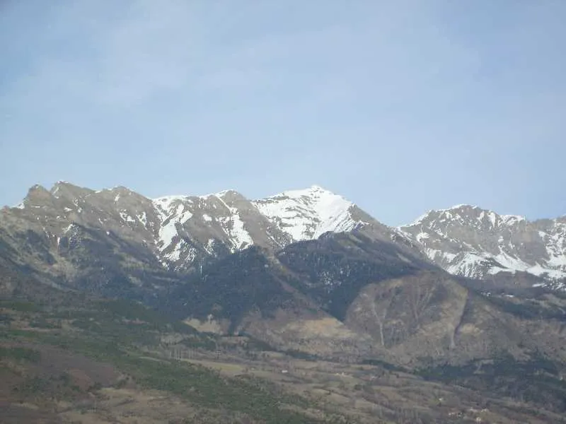 Gapençais Mountain, Alpes-de-Haute-Provence2.3 km NE
-
Lacs de Roure Lake, Alpes-de-Haute-Provence1.9 km N
-
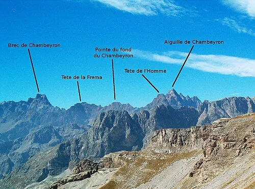 Tete de l'Homme Mountain, Saint-Paul-sur-Ubaye2.6 km W
-
Tête de la Fréma Mountain, Alpes-de-Haute-Provence3.2 km SW
-
Aiguille de Chambeyron Mountain, Saint-Paul-sur-Ubaye3.3 km W
-
Lacs de Marinet Lake, Alpes-de-Haute-Provence3.2 km NW
More nature in France
-
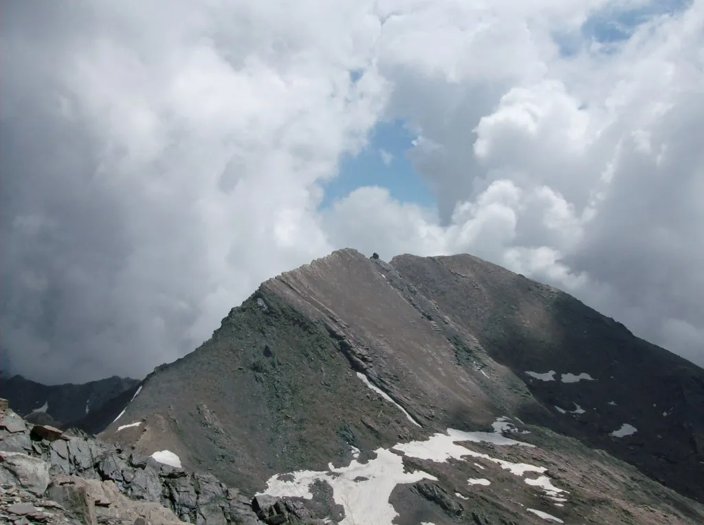 Monte Salza Mountain, France9.2 km NE
-
Colle del Lupo Mountain, France10 km NE
-
Pic du Pelvat Mountain, Saint-Paul-sur-Ubaye3.9 km N
-
L'Alpet Mountain, Saint-Paul-sur-Ubaye3.9 km N
-
Aiguille Large de Marinet Mountain, Saint-Paul-sur-Ubaye4.4 km NW
-
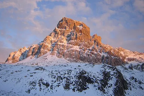 Monte Chambeyron Mountain, Saint-Paul-sur-Ubaye4.4 km SW
Sources & licences
Data last updated: · 2 independent sources