Ellerazhofer Weiher
Located in Baden-Wurttemberg, Germany Coordinates: 47°49′04″ N 9°57′18″ E
- Elevation
- 658 m
- above sea level
- Local time
- UTC+01:00
- Europe/Berlin · UTC+01:00
About Ellerazhofer Weiher
Ellerazhofer Weiher is a lake. Location: Baden-Wurttemberg, Germany. Elevation: 658 m.
In comparison
- 51 sights and natural places within 10 km Mühleweiher, Rauns
Nearest towns and villages
-
Leutkirch im Allgäu Village, Landkreis Ravensburg2.9 km E
-
Ellerazhofen Village, Leutkirch im Allgäu0.7 km W
-
Lanzenhofen Village, Leutkirch im Allgäu0.7 km SE
-
Willerazhofen Village, Leutkirch im Allgäu0.9 km N
-
Herrot Village, Kißlegg1.4 km S
-
Sonthofen Village, Leutkirch im Allgäu1.6 km NW
Nearby attractions & nature
Everything nearby-
Mühleweiher Lake, Baden-Wurttemberg3.9 km S
-
Diepoldshofer Wald Natural site, Baden-Wurttemberg4.7 km N
-
Reichenhofer Wald Natural site, Baden-Wurttemberg4.7 km N
-
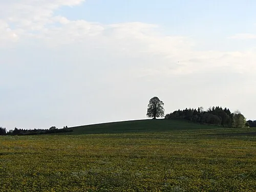 Wachbühl Mountain, Bad Wurzach6.3 km N
-
Argensee Lake, Baden-Wurttemberg5.1 km SW
-
Hinter Weiher Lake, Baden-Wurttemberg5.6 km SE
-
Schorren Mountain, Leutkirch im Allgäu6.9 km SE
-
Obersee Lake, Baden-Wurttemberg5.9 km W
Sources & licences
Data last updated: