Glashof Wald
Located in Baden-Wurttemberg, Germany Coordinates: 47°51′55″ N 7°52′26″ E
- Elevation
- 1,071 m
- above sea level
- Local time
- UTC+01:00
- Europe/Berlin · UTC+01:00
About Glashof Wald
Glashof Wald is a natural site. Location: Baden-Wurttemberg, Germany.
In comparison
- 68 sights and natural places within 10 km Hörnle, Trubelsmattkopf
Nearest towns and villages
-
Münstertal Village, Landkreis Breisgau-Hochschwarzwald4.1 km W
-
Wieden Village, Wieden2.7 km S
-
Wieden Village, Landkreis Lörrach3.6 km S
-
Hinteres Elend Neighbourhood, Münstertal2 km W
-
Oberneuhof Village, Münstertal2 km SW
-
Elend Village, Münstertal2.1 km W
Nearby attractions & nature
Everything nearby-
Trubelsmattkopf Mountain, Münstertal1 km E
-
Hörnle Mountain, Wieden1 km SE
-
Haldenköpfle Mountain, Münstertal1.9 km NE
-
Köpfle Mountain, Todtnau2.2 km E
-
Breitnauer Kopf Mountain, Münstertal2.7 km SW
-
Dietschel Mountain, Aitern3.3 km SW
-
Hohtannen Mountain, Aitern3.6 km S
-
Heidstein Mountain, Aitern4 km SW
More nature in Germany
-
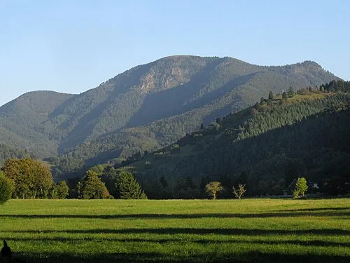 Belchen Mountain, Kleines Wiesental5.7 km SW
-
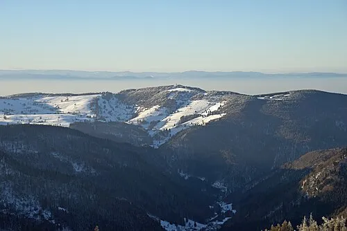 Schauinsland Mountain, Oberried5.5 km N
-
Rollspitz Mountain, Aitern4.2 km S
-
Knöpflesbrunnen Mountain, Utzenfeld5.2 km SE
-
Hirschkopf Mountain, Oberried5.3 km E
-
Streichenkopf Mountain, Münstertal4.3 km W
Sources & licences
Data last updated: