Insel Rott
Located in Baden-Wurttemberg, Germany Coordinates: 49°08′57″ N 8°22′39″ E
- Elevation
- 103 m
- above sea level
- Local time
- UTC+01:00
- Europe/Berlin · UTC+01:00
About Insel Rott
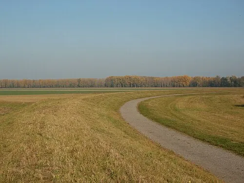
Insel Rott is an island. Location: Baden-Wurttemberg, Germany.
In comparison
- 40 sights and natural places within 10 km Altrhein, Ober Wald
Nearest towns and villages
-
Linkenheim-Hochstetten Village, Landkreis Karlsruhe2.5 km SE
-
Leimersheim Village, Landkreis Germersheim2.7 km SW
-
Landkreis Germersheim Municipality, Rhineland-Palatinate5.8 km W
-
Dettenheim Village, Landkreis Karlsruhe4.2 km NE
-
Leimersheim Village, Leimersheim3.6 km SW
-
Hördt Village, Landkreis Germersheim4.2 km NW
Nearby attractions & nature
Everything nearby-
Altrhein Lake, Rhineland-Palatinate3.7 km N
-
Ober Wald Natural site, Rhineland-Palatinate3.8 km W
-
Trappenberg Mountain, Rülzheim6.7 km NW
-
Klingbach River, Rhineland-Palatinate4 km NW
-
Haßlichberg Mountain, Bellheim6.8 km NW
-
Michels Bach River, Rhineland-Palatinate4.1 km SW
-
Altrhein Lake, Rhineland-Palatinate6.1 km SW
-
Rottenbach River, Rhineland-Palatinate4.2 km W
More lakes, rivers and coasts in Germany
-
Altrhein Lake, Baden-Wurttemberg7.2 km NE
-
 Rheinschanzinsel Island, Baden-Wurttemberg12 km NE
-
Alb River, Baden-Wurttemberg8.3 km S
-
Altrhein Kleiner Bodensee Lake, Baden-Wurttemberg9.3 km S
-
Alter Bach River, Baden-Wurttemberg9.5 km SE
-
Sieben-Erlen-See Lake, Karlsdorf-Neuthard9.9 km E
Sources & licences
Data last updated: · 2 independent sources