Kirchlinsgrund
Located in Baden-Wurttemberg, Germany Coordinates: 47°56′00″ N 7°52′00″ E
- Elevation
- 495 m
- above sea level
- Local time
- UTC+01:00
- Europe/Berlin · UTC+01:00
About Kirchlinsgrund
Kirchlinsgrund is a natural site. Location: Baden-Wurttemberg, Germany.
In comparison
- 75 sights and natural places within 10 km Langenbach, Taubenkopf
Nearest towns and villages
-
Horben Village, Landkreis Breisgau-Hochschwarzwald<0.1 km S
-
Horben Village, Horben<0.1 km N
-
Günterstal Neighbourhood, Freiburg im Breisgau3.4 km N
-
Au Village, Landkreis Breisgau-Hochschwarzwald3.1 km NW
-
Au (Schwarzwald) Village, Au3.1 km NW
-
Sölden Village, Landkreis Breisgau-Hochschwarzwald3.7 km W
Nearby attractions & nature
Everything nearby-
Langenbach River, Baden-Wurttemberg0.9 km S
-
Taubenkopf Mountain, Freiburg im Breisgau1.7 km E
-
Illenberg Mountain, Au2 km NW
-
Brangenkopf Mountain, Freiburg im Breisgau2.2 km NE
-
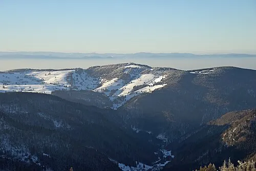 Schauinsland Mountain, Oberried3.5 km SE
-
Eichkopf Mountain, Freiburg im Breisgau2.9 km NE
-
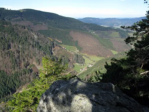 Rappeneck Mountain, Oberried3.8 km E
-
Kohlernkopf Mountain, Sölden3.1 km SW
More nature in Germany
-
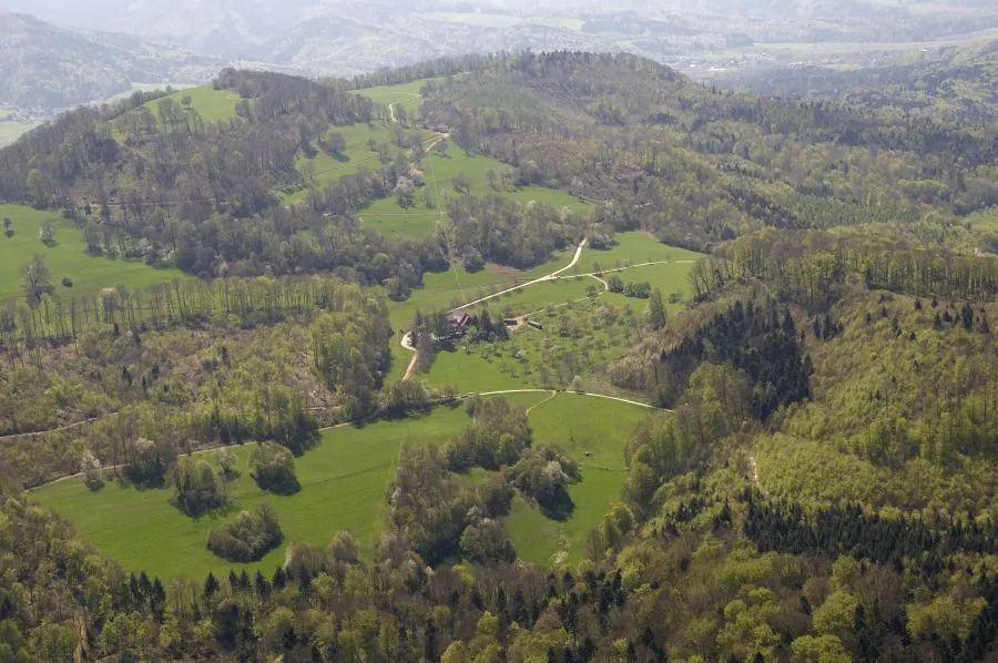 Schönberg Mountain, Ebringen5.2 km NW
-
Hundsrücken Mountain, Oberried3.7 km SE
-
Kreuzkopf Mountain, Freiburg im Breisgau3.7 km NW
-
Brombergkopf Mountain, Freiburg im Breisgau4.4 km N
-
Laubisköpfle Mountain, Freiburg im Breisgau4.7 km NE
-
Goldberg Mountain, Oberried5 km E
Sources & licences
Data last updated: · 2 independent sources