Rohrallmend
Located in Baden-Wurttemberg, Germany Coordinates: 48°03′18″ N 8°02′13″ E
- Elevation
- 1,033 m
- above sea level
- Local time
- UTC+01:00
- Europe/Berlin · UTC+01:00
About Rohrallmend
Rohrallmend is a natural site. Location: Baden-Wurttemberg, Germany.
In comparison
- 49 sights and natural places within 10 km Hochkopf, Kandelwald
Nearest towns and villages
-
St. Peter Village, Landkreis Breisgau-Hochschwarzwald4.3 km S
-
Sankt Peter Village, St. Peter4.5 km S
-
Neuwelt Village, St. Peter1.4 km E
-
Glottertal Village, Landkreis Breisgau-Hochschwarzwald5.7 km W
-
Simonswald Village, Landkreis Emmendingen5.9 km N
-
Sägendobel Village, St. Peter2 km S
Nearby attractions & nature
Everything nearby-
Hochkopf Mountain, Simonswald0.9 km NE
-
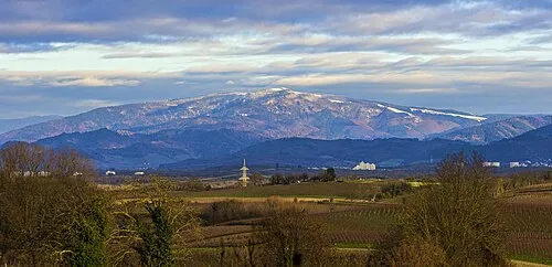 Kandel Mountain, Glottertal2.1 km NW
-
Sattelhöhe Mountain, Waldkirch2 km NW
-
Kandelwald Natural site, Baden-Wurttemberg1.8 km N
-
Wolfsgrubenkapf Mountain, Waldkirch2.9 km N
-
Kleiner Hornkopf Mountain, Simonswald2.9 km NE
-
Hornkopf Mountain, Simonswald3.3 km NE
-
Hornbühl Mountain, Simonswald3.6 km NE
More nature in Germany
-
Langeck Mountain, St. Peter4.3 km SW
-
Horn Mountain, St. Peter4.4 km S
-
 Schultiskopf Mountain, Simonswald7.4 km NE
-
Kranzkopf Mountain, Glottertal4.9 km W
-
 Hörnleberg Mountain, Winden im Elztal8.1 km N
-
 Obereck Mountain, Simonswald8.8 km NE
Sources & licences
Data last updated: