Unterer Dossenwald
Located in Baden-Wurttemberg, Germany Coordinates: 49°26′00″ N 8°33′00″ E
- Elevation
- 102 m
- above sea level
- Local time
- UTC+01:00
- Europe/Berlin · UTC+01:00
About Unterer Dossenwald
Unterer Dossenwald is a natural site. Location: Baden-Wurttemberg, Germany.
In comparison
- 125 sights and natural places within 10 km Johannes-Calvin-Kirche, St. Bonifatius Friedrichsfeld
Nearest towns and villages
-
Brühl Village, Rhein-Neckar-Kreis3.5 km S
-
Edingen-Neckarhausen Village, Rhein-Neckar-Kreis4.9 km NE
-
Ilvesheim Village, Rhein-Neckar-Kreis4.7 km N
-
Schwetzingen Village, Rhein-Neckar-Kreis5.5 km S
-
Altrip Village, Rhein-Pfalz-Kreis4.8 km W
-
Rheinau Neighbourhood, Mannheim1.6 km W
Nearby attractions & nature
Everything nearby-
Johannes-Calvin-Kirche Attraction, Mannheim1.9 km E
-
St. Bonifatius Friedrichsfeld Attraction, Mannheim2 km E
-
Schlosspark Neckarhausen Natural site, Edingen-Neckarhausen4.9 km NE
-
Friedhofskapelle Friedrichsfeld Attraction, Mannheim2.2 km E
-
Hebelplatz Natural site, Schwetzingen5.3 km S
-
Neckarwiese Natural site, Ladenburg5.5 km NE
-
Ketscher Wald Natural site, Baden-Wurttemberg5.6 km S
-
Schlossgarten Schwetzingen Natural site, Schwetzingen5.7 km S
More nature in Germany
-
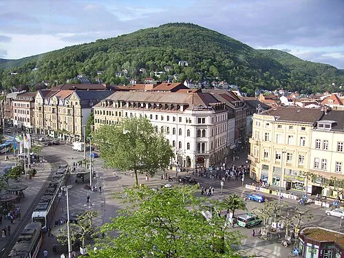 Heiligenberg Mountain, Heidelberg11 km E
-
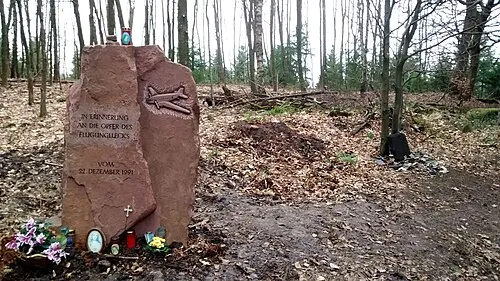 Hohe Nistler Mountain, Dossenheim11 km E
-
Carl-Benz-Park Natural site, Ladenburg5.8 km NE
-
Rheinwald Natural site, Baden-Wurttemberg6.1 km SW
-
Reinhold-Schulz-Waldpark Natural site, Ladenburg6.4 km NE
-
Unterer Neckar Maulbeerinsel Natural site, Mannheim6.9 km NW
Sources & licences
Data last updated: