Alzenberg
Located in Bavaria, Germany Coordinates: 48°53′42″ N 13°37′36″ E
- Elevation
- 1,100 m
- above sea level
- Local time
- UTC+01:00
- Europe/Berlin · UTC+01:00
About Alzenberg
Alzenberg is a mountain. Location: Bavaria, Germany. Elevation: 1,100 m.
The Alzenberg (1,100 m) is a mountain in the Bavarian Forest, northeast of the town of Freyung and lies in the Bavarian Forest National Park about two kilometres from the German-Czech border. It is almost entirely wooded. The nearest settlement is the village of Mitterfirmiansreut in the municipality of Philippsreut. Neighbouring mountains are the Almberg (1,140 m) to the south and, in Czechia, the Strážný (1,115 m) to the northeast.
Read more on Wikipedia Text: Wikipedia contributors · CC BY-SA 4.0 · shortened
In comparison
- No. 1287 of 25787 mountains in Germany by elevation
- 58 sights and natural places within 10 km Steinkopf, Almberg
Nearest towns and villages
-
Mauth Village, Landkreis Freyung-Grafenau3.4 km W
-
Mauth Village, Mauth3.1 km W
-
Hinterfirmiansreut Village, Philippsreut1.3 km NE
-
Alpe Village, Philippsreut1.6 km SE
-
Mitterfirmiansreut Village, Philippsreut2 km E
-
Philippsreut Village, Landkreis Freyung-Grafenau5.2 km SE
Nearby attractions & nature
Everything nearby-
Steinkopf Mountain, Bavaria1 km NE
-
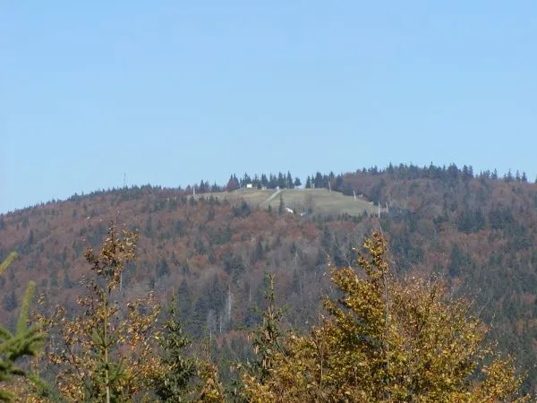 Almberg Mountain, Bavaria1.5 km SE
-
Geissberg Mountain, Bavaria2.2 km NE
-
Zusammfallbach River, Bavaria2.4 km N
-
Teufelsbach River, Bavaria2.6 km NW
-
Rothbach River, Bavaria2.7 km NW
-
Ochsenreuten Mountain, Mauth2.9 km NW
-
Grandelberg Natural site, Bavaria3.1 km SE
Sources & licences
Data last updated: · 2 independent sources