Kreuzspitze
Located in Bavaria, Germany Coordinates: 47°31′35″ N 10°55′06″ E
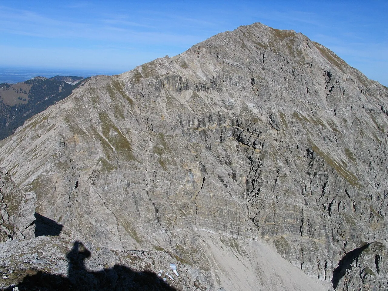
- Elevation
- 2,185 m
- above sea level
- Local time
- UTC+01:00
- Europe/Berlin · UTC+01:00
About Kreuzspitze
Kreuzspitze is a mountain. Location: Bavaria, Germany. Elevation: 2,185 m.
The Kreuzspitze (2,185 m) is the highest mountain in the Bavarian section of the Ammergau Alps and is the 21st highest mountain in Germany. The mountain is located southeast of the Ammer Saddle. The easiest route to the summit is along the normal path from the north through the Hochgrieß Cirque (Hochgrießkar). A more scenic and varied route, however, is over the Kreuzspitzl to the south and then along the scenic ridge (UIAA climbing grade I to II) to the main peak.
Read more on Wikipedia Text: Wikipedia contributors · CC BY-SA 4.0 · shortened
At a glance
- Topographic prominence
- 1,182 m
Source: Wikidata
In comparison
- No. 112 of 25787 mountains in Germany by elevation
- 172 sights and natural places within 10 km Kreuzspitze, Hochgrieß
Nearest towns and villages
Nearby attractions & nature
Everything nearby-
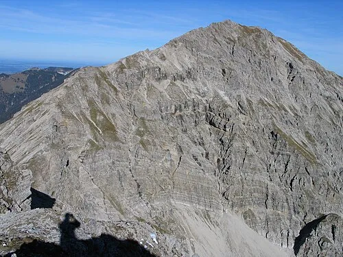 Kreuzspitze Mountain, Germany<0.1 km SW
-
Hochgrieß Natural site, Bavaria0.7 km NW
-
Schwarzenkopf Mountain, Bavaria0.8 km NW
-
Kuchelberg-Kopf Mountain, Bavaria1.1 km N
-
Schellschlicht Mountain, Garmisch-Partenkirchen1.9 km S
-
Kuchel-Berg Mountain, Bavaria1.8 km NE
-
Kuchelberg-Spitz Mountain, Bavaria2.5 km NE
-
Sunkenkopf Mountain, Garmisch-Partenkirchen2.7 km S
More nature in Germany
-
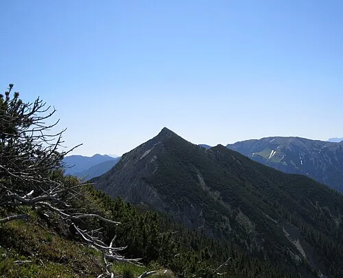 Scheinberg-Spitz Mountain, Bavaria4 km NW
-
Sunkenberg Mountain, Garmisch-Partenkirchen3.2 km S
-
Frieder Mountain, Bavaria3.2 km E
-
Frieder Mountain, Bavaria3.2 km E
-
Schelleck Mountain, Garmisch-Partenkirchen3.6 km S
-
Scharfeck Mountain, Garmisch-Partenkirchen3.6 km SE
Sources & licences
Data last updated: · 2 independent sources