Lalling
Located in Landkreis Deggendorf, Lower Bavaria Coordinates: 48°51′00″ N 13°08′00″ E
- Population
- 1,651
- 1.7K
- Elevation
- 401 m
- above sea level
- Local time
- UTC+01:00
- Europe/Berlin · UTC+01:00
- Places inside
- 15
- listed under Lalling
About Lalling
Lalling is a village. Location: Landkreis Deggendorf, Lower Bavaria. Population: 1,651. Elevation: 401 m.
In comparison
- No. 19 of 26 places in Landkreis Deggendorf by population
- Nearest larger town: Auerbach, 6 km SW
- 28 sights and natural places within 10 km Kurpark, Ranzinger Vorberg
- Listed here: Village: 13, Mountain: 1, Natural site: 1
Places in Lalling
15 places-
Lalling Village1.6K
-
Datting Village
-
Dösing Village
-
Durchfurth Village
-
Euschertsfurth Village
-
Gerholling Village
-
Kapfing Village
-
Kaußing Village
-
Kurpark Natural site
-
Ranzing Village
-
Ranzingerberg Village
-
Ranzinger Vorberg Mountain
-
Stritzling Village
-
Urding Village
-
Watzing Village
Nearby attractions & nature
Everything nearby-
Leopolds Wald Natural site, Bavaria3.1 km NE
-
Aibenberg Mountain, Kirchberg i.Wald3.9 km NE
-
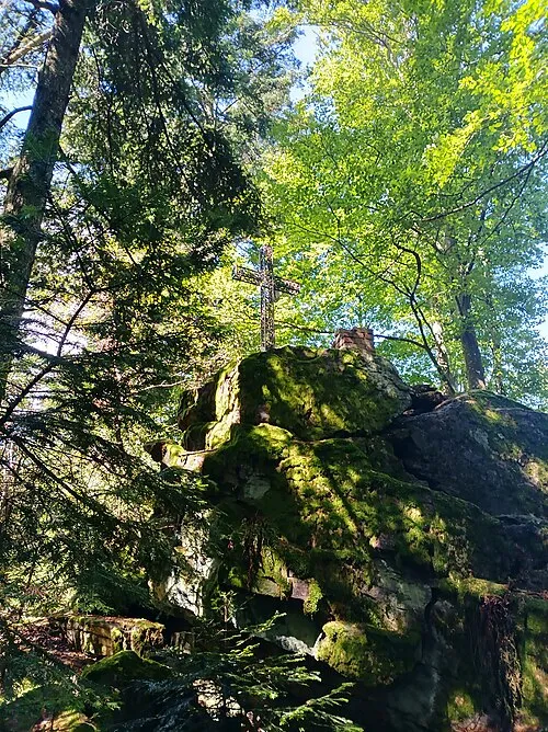 Hausstein Mountain, Schaufling5.2 km NW
-
Steinberg Mountain, Schöfweg5.2 km SE
-
Hangenleithner Forst Natural site, Bavaria4.3 km NE
-
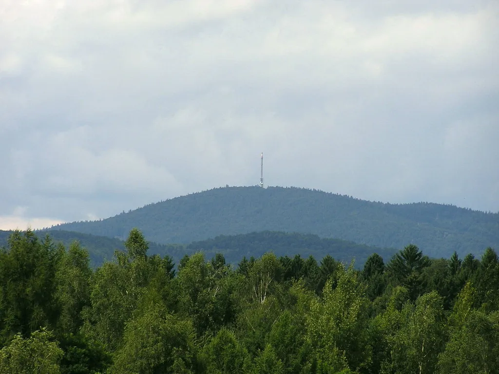 Brotjacklriegel Mountain, Schöfweg7.2 km SE
Sources & licences
Data last updated: