Kleiner Arber
Located in Bodenmais, Markt, Landkreis Regen Coordinates: 49°06′48″ N 13°06′38″ E
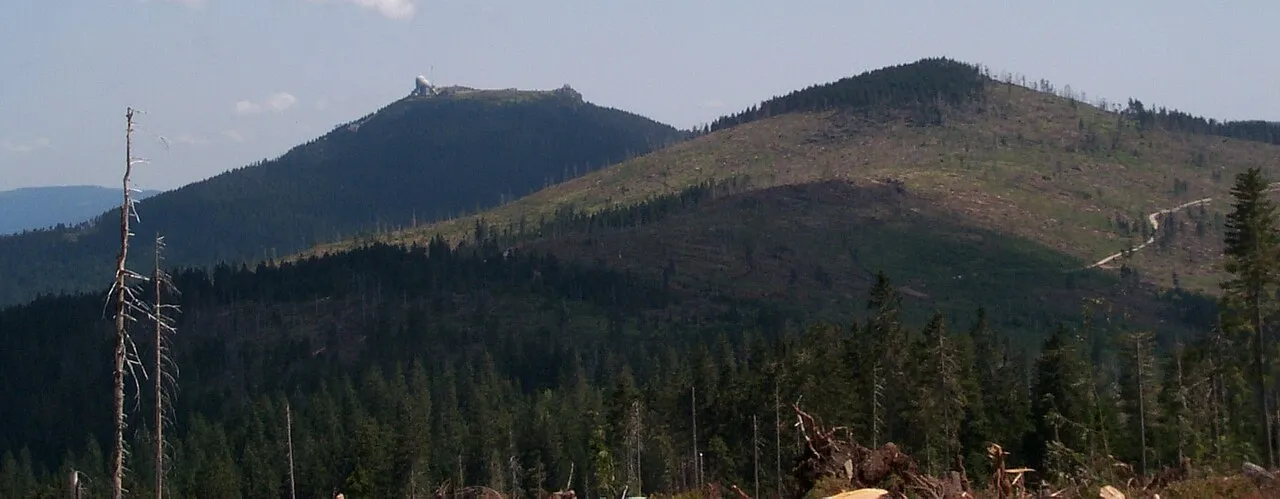
- Elevation
- 1,384 m
- above sea level
- Local time
- UTC+01:00
- Europe/Berlin · UTC+01:00
- Airports
- JCL České Budějovice South Bohemian Airport98 km
- KLV Karlovy Vary Airport122 km
About Kleiner Arber
Kleiner Arber is a mountain. Location: Bodenmais, Markt, Landkreis Regen. Elevation: 1,384 m.
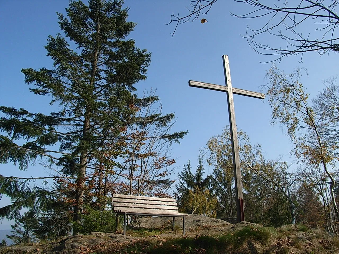
The Kleiner Arber, sometimes also the Little Arber, in the Bavarian Forest is a mountain, 1,383.6 m above sea level (NHN), and the highest peak in the Bavarian province of Upper Palatinate. The border with Lower Bavaria runs over its summit and that of the Großer or Great Arber (1,455.5 m above NHN) to the east. An elongated rock outcrop west of the summit cross is the actual highest point in the Upper Palatinate (1,439.6 m). On the rocky summit is an imposing wooden cross and summit register.
Source: Wikipedia · CC BY-SA 4.0
Photos of Kleiner Arber
-

Ladislav Boháč · CC BY-SA 4.0 -

Ladislav Boháč · CC BY-SA 4.0 -

WanderDan · CC0 -

Rosa-Maria Rinkl · CC BY-SA 4.0 -

Rosa-Maria Rinkl · CC BY-SA 4.0


Climate of Kleiner Arber
This month · November
A cold month
Day 0° · Night -6° · Rain 86 mm
- Hottest month
- July (day 16°)
- Coldest month
- January (night -10°)
- Wettest month
- July (128 mm)
- Driest month
- April (66 mm)
Bars: average monthly low and high temperature. Below: precipitation. Monthly averages for 1970–2000 at about 18 km resolution, adjusted for elevation. Highlighted months are mild and relatively dry. Source: WorldClim 2.1 (CC BY 4.0).
Show values as a table
| Month | Jan | Feb | Mar | Apr | May | Jun | Jul | Aug | Sep | Oct | Nov | Dec |
|---|---|---|---|---|---|---|---|---|---|---|---|---|
| Average high (°C) | -3° | -2° | 1° | 5° | 12° | 14° | 16° | 16° | 12° | 7° | 0° | -3° |
| Average low (°C) | -10° | -9° | -7° | -4° | 1° | 4° | 6° | 6° | 3° | -2° | -6° | -8° |
| Precipitation (mm) | 95 | 73 | 84 | 66 | 83 | 111 | 128 | 102 | 85 | 79 | 86 | 112 |
How to get to Kleiner Arber
The nearest airport is České Budějovice South Bohemian Airport (JCL), 98 km to the east as the crow flies. The nearest large city is Regensburg, 75 km to the west.
Airports
- České Budějovice South Bohemian Airport (JCL) České Budějovice 98 kmeast
- Karlovy Vary Airport (KLV) Karlovy Vary 122 kmnorth
- Linz-Hörsching Airport (LNZ) Linz 126 kmsoutheast
Nearby large cities
- Regensburg Population: 151.4K 75 kmwest
- Linz Population: 204.8K 125 kmsoutheast
- Ingolstadt Population: 120.7K 129 kmwest
- Prague Population: 1.2M 144 kmnortheast
- Salzburg Population: 157.2K 146 kmsouth
Straight-line distances; road distances are longer. Airport data: OurAirports.
Day trips from Kleiner Arber
Within 100 km: 158 historic and cultural sites, 1,168 natural sites, 349 lakes, rivers and coasts.
0–25 km170 places
- Biber-Revier River 13 kmNW
- Bohemian Forest Mountain 15 kmSW
- Kleiner Arber See Lake 2 kmNE
- Großer Arbersee Lake 4 kmSE
25–60 km480 places
- Isar River 36 kmS
- Rachelsee Lake 26 kmSE
- Neubäuer Weiher Lake 52 kmW
- Großer Hammerweiher Lake 43 kmW
60–100 km1,025 places
- Rannasee Lake 81 kmSE
- Teufelsschüssel Mountain 67 kmSE
- Zwiesel Berg Mountain 70 kmSE
- Stelzer Berg Mountain 99 kmS
Straight-line distances.
Nearest towns and villages
-
Bodenmais Village, Bodenmais, Markt5.2 km S
-
Drachselsried Village, Landkreis Regen5.9 km W
-
Mooshütte Village, Lohberg2.8 km NE
-
Bayerisch Eisenstein Village, Landkreis Regen6.5 km E
-
Brennes Village, Bayerisch Eisenstein3.4 km NE
-
Bayerisch Eisenstein Village, Bayerisch Eisenstein6.5 km E
Nearby attractions & nature
Everything nearby-
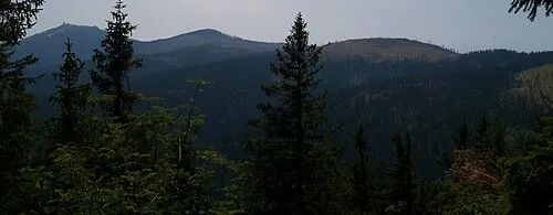 Enzian Mountain, Drachselsried2.3 km NW
-
Grosser Arber Mountain, Bayerisch Eisenstein1.8 km E
-
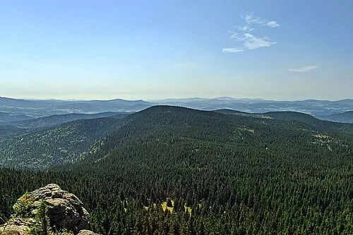 Mittagsplatzl Mountain, Bodenmais, Markt3.2 km SE
-
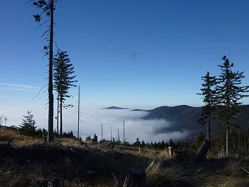 Heugstatt Mountain, Drachselsried3.6 km NW
-
Kleiner Arber See Lake, Bavaria1.7 km NE
-
Hochstein Mountain, Drachselsried3.6 km W
-
Rieslochfälle Natural site, Bavaria2.8 km S
-
Hörndl Mountain, Lohberg3.6 km NW
More nature in Germany
-
Hochzellberg Mountain, Bodenmais, Markt4.3 km SE
-
 Kronberg Mountain, Bodenmais, Markt8.4 km S
-
Sternknöckel Mountain, Bodenmais, Markt6.4 km SW
-
Harlachberger Spitze Mountain, Bodenmais, Markt7.4 km S
Sources & licences
Data last updated: · 2 independent sources