Perlacher Forst
Located in Bavaria, Germany Coordinates: 48°04′02″ N 11°34′36″ E
- Elevation
- 564 m
- above sea level
- Local time
- UTC+01:00
- Europe/Berlin · UTC+01:00
About Perlacher Forst
Perlacher Forst is a natural site. Location: Bavaria, Germany.
In comparison
- 72 sights and natural places within 10 km Perlacher Mugl, Schwaneck
Nearest towns and villages
-
Unterhaching Village, Munich2.5 km E
-
Taufkirchen Village, Munich3.7 km SE
-
Munich Municipality, Upper Bavaria5.2 km E
-
Oberhaching Village, Munich4.2 km SE
-
Grünwald Village, Munich4 km SW
-
Pullach i.Isartal Village, Munich4.8 km W
Nearby attractions & nature
Everything nearby-
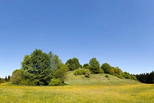 Perlacher Mugl Mountain, Unterhaching0.2 km N
-
Grünwalder Forst Natural site, Bavaria4.3 km SW
-
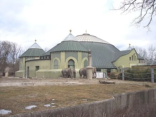 Hellabrunn Zoo Attraction, Munich3.8 km NW
-
Gleißental Natural site, Bavaria7.5 km S
-
Ostpark Natural site, Munich6.8 km NE
-
Early Camp München (Stadelheim) Historic site, Munich3.8 km N
-
Hachinger Bach River, Bavaria7 km NE
-
Schwaneck Historic site, Pullach i.Isartal3.6 km W
Sources & licences
Data last updated: