Steigerwald
Located in Bavaria, Germany Coordinates: 49°46′00″ N 10°29′00″ E
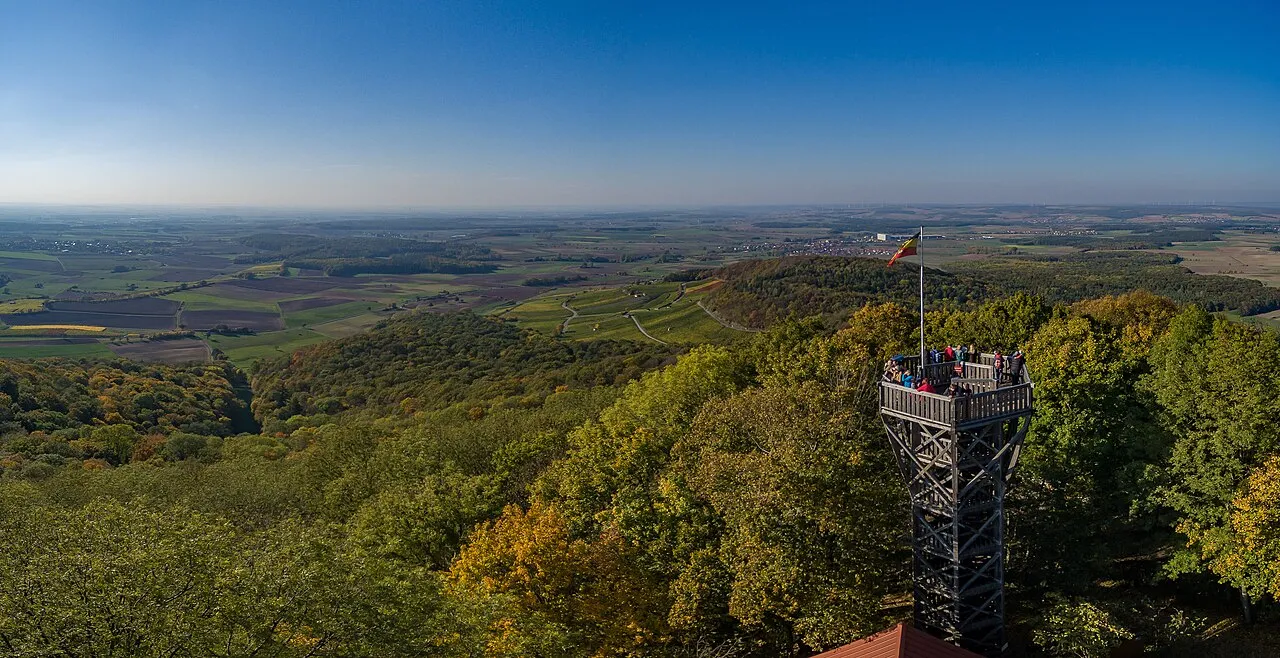
- Elevation
- 349 m
- above sea level
- Local time
- UTC+01:00
- Europe/Berlin · UTC+01:00
About Steigerwald
Steigerwald is a mountain. Location: Bavaria, Germany. Elevation: 349 m.
The Steigerwald (German pronunciation: [ˈʃtaɪɡɐvalt]) is a hill region up to 498.5 m above sea level (NHN) in the Bavarian-Franconian part of the South German Scarplands between Würzburg and Nuremberg. It is part of the Keuper Uplands, and within it, it is continued to the north-northeast and right of the river Main, by the Haßberge, and to the south-southwest by the Franconian Heights. Part of the region is a designated as the Steigerwald Nature Park.
Read more on Wikipedia Text: Wikipedia contributors · CC BY-SA 4.0 · shortened
At a glance
- Length
- 40 km
- Area
- 1,100 km²
Source: Wikidata
In comparison
- No. 15317 of 25787 mountains in Germany by elevation
- 144 sights and natural places within 10 km Traubenberg, Bucher Berg
Nearest towns and villages
-
Geiselwind, Markt Village, Landkreis Kitzingen1.2 km NW
-
Geiselwind Village, Geiselwind, Markt1.2 km NW
-
Langenberg Village, Geiselwind, Markt<0.1 km N
-
Hohnsberg Village, Geiselwind, Markt1.6 km E
-
Haag Village, Geiselwind, Markt1.9 km S
-
Füttersee Village, Geiselwind, Markt2 km NE
Nearby attractions & nature
Everything nearby-
Traubenberg Mountain, Geiselwind, Markt0.7 km W
-
Bucher Berg Mountain, Geiselwind, Markt1 km S
-
Krackenberg Mountain, Geiselwind, Markt1.1 km N
-
Galgenberg Mountain, Geiselwind, Markt1.4 km W
-
Haselbach River, Bavaria1.5 km NW
-
Appenfelder Höhe Mountain, Geiselwind, Markt1.9 km S
-
Fuchsgraben River, Bavaria1.9 km S
-
Ebrach River, Bavaria1.9 km E
Sources & licences
Data last updated: · 2 independent sources