Breitenberg
Located in Bad Hindelang, M, Landkreis Oberallgäu Coordinates: 47°28′14″ N 10°22′59″ E
- Elevation
- 1,836 m
- above sea level
- Local time
- UTC+01:00
- Europe/Berlin · UTC+01:00
- Airports
- FMM Memmingen Allgau Airport59 km
- ACH Sankt Gallen Altenrhein Airport62 km
About Breitenberg
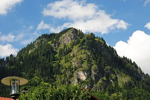
Breitenberg is a mountain. Location: Bad Hindelang, M, Landkreis Oberallgäu. Elevation: 1,836 m. The nearest airport is Memmingen Allgau Airport (59 km). Nearby sights include Lachekopf and Heubatspitze.
Photos of Breitenberg
-
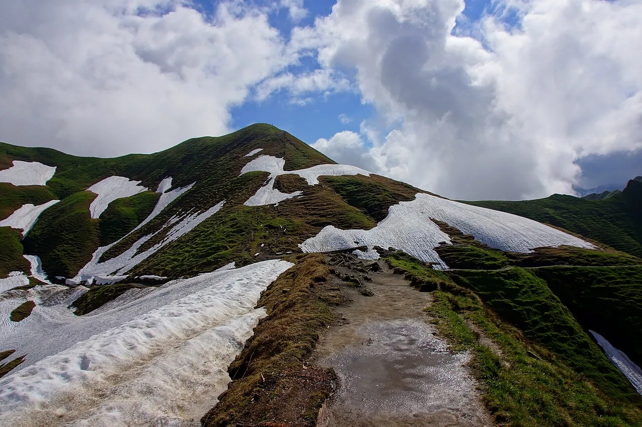
Zeiger Jurii · CC BY-SA 4.0 -
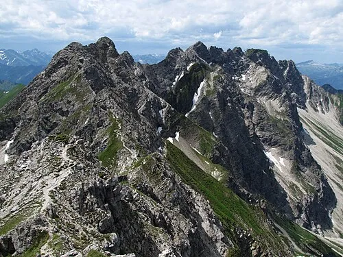
Wengenkopf Kauk0r · CC BY-SA 3.0 -
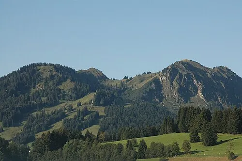
Spieser Bernd Lehle · Public domain -
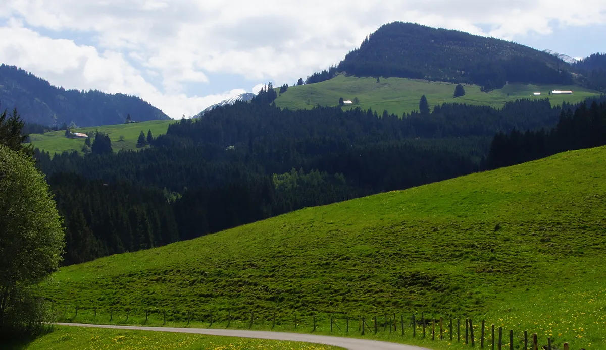
Sonthofner Hörnle Jurii · CC BY-SA 4.0 -
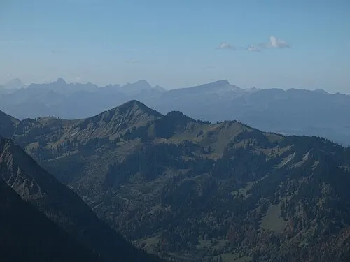
Schnippenkopf Kauk0r · CC BY-SA 3.0


Climate of Breitenberg
This month · November
A wet month
Day 2° · Night -5° · Rain 102 mm
- Hottest month
- July (day 15°)
- Coldest month
- January (night -9°)
- Wettest month
- July (173 mm)
- Driest month
- February (87 mm)
Bars: average monthly low and high temperature. Below: precipitation. Monthly averages for 1970–2000 at about 18 km resolution, adjusted for elevation. Highlighted months are mild and relatively dry. Source: WorldClim 2.1 (CC BY 4.0).
Show values as a table
| Month | Jan | Feb | Mar | Apr | May | Jun | Jul | Aug | Sep | Oct | Nov | Dec |
|---|---|---|---|---|---|---|---|---|---|---|---|---|
| Average high (°C) | -2° | -2° | 1° | 4° | 9° | 12° | 15° | 15° | 12° | 7° | 2° | -1° |
| Average low (°C) | -9° | -9° | -7° | -4° | 1° | 4° | 6° | 6° | 3° | 0° | -5° | -8° |
| Precipitation (mm) | 89 | 87 | 96 | 103 | 122 | 160 | 173 | 159 | 113 | 89 | 102 | 99 |
How to get to Breitenberg
The nearest airport is Memmingen Allgau Airport (FMM), 59 km to the north as the crow flies. The nearest large city is Innsbruck, 80 km to the east.
Airports
- Memmingen Allgau Airport (FMM) Memmingen 59 kmnorth
- Sankt Gallen Altenrhein Airport (ACH) St. Gallen 62 kmwest
- Bodensee Airport Friedrichshafen (FDH) Friedrichshafen 69 kmwest
Nearby large cities
- Innsbruck Population: 132.5K 80 kmeast
- Ulm Population: 120.5K 107 kmnorth
- Augsburg Population: 301.1K 107 kmnorth
- Munich Population: 1.5M 116 kmnortheast
- Winterthur Population: 111.8K 125 kmwest
Straight-line distances; road distances are longer. Airport data: OurAirports.
Day trips from Breitenberg
Within 100 km: 394 historic and cultural sites, 5,273 natural sites, 1,270 lakes, rivers and coasts.
0–25 km677 places
- Vilsalpsee Lake 9 kmE
- Traualpsee Lake 10 kmE
- Haldensee Lake 14 kmE
- Alplsee Lake 9 kmSE
25–60 km2,304 places
- Weiher Diepoldsau Lake 54 kmW
- Alter Rhein Lake 57 kmW
- Nollen Lake 55 kmW
- Nollen Lake 55 kmW
60–100 km3,956 places
- Bayerisches Oberland Mountain 77 kmE
- Mainau Island 93 kmW
- Schloss Hirschberg am Haarsee Historic site 73 kmNE
- Dominikanerinsel Konstanz Island 93 kmW
Straight-line distances.
Nearest towns and villages
-
 Hinterstein Village, Bad Hindelang, M2 km NE
-
 Bad Oberdorf Village, Bad Hindelang, M3.5 km N
-
 Vorderhindelang Village, Bad Hindelang, M4.7 km NW
-
 Oberjoch Neighbourhood, Bad Hindelang, M5.2 km N
-
Bruck Village, Bad Hindelang, M1.9 km N
-
Bad Hindelang Village, Bad Hindelang, M4 km N
Nearby attractions & nature
Everything nearby-
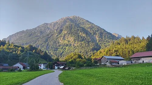 Lachekopf Mountain, Bad Hindelang, M0.5 km E
-
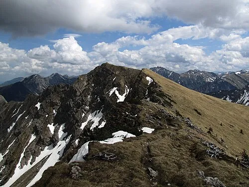 Heubatspitze Mountain, Bad Hindelang, M1.3 km S
-
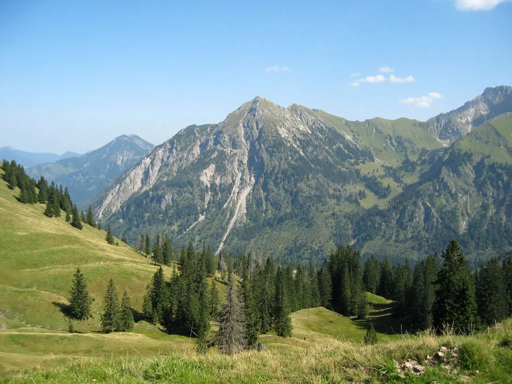 Rotspitze Mountain, Bad Hindelang, M1.6 km SW
-
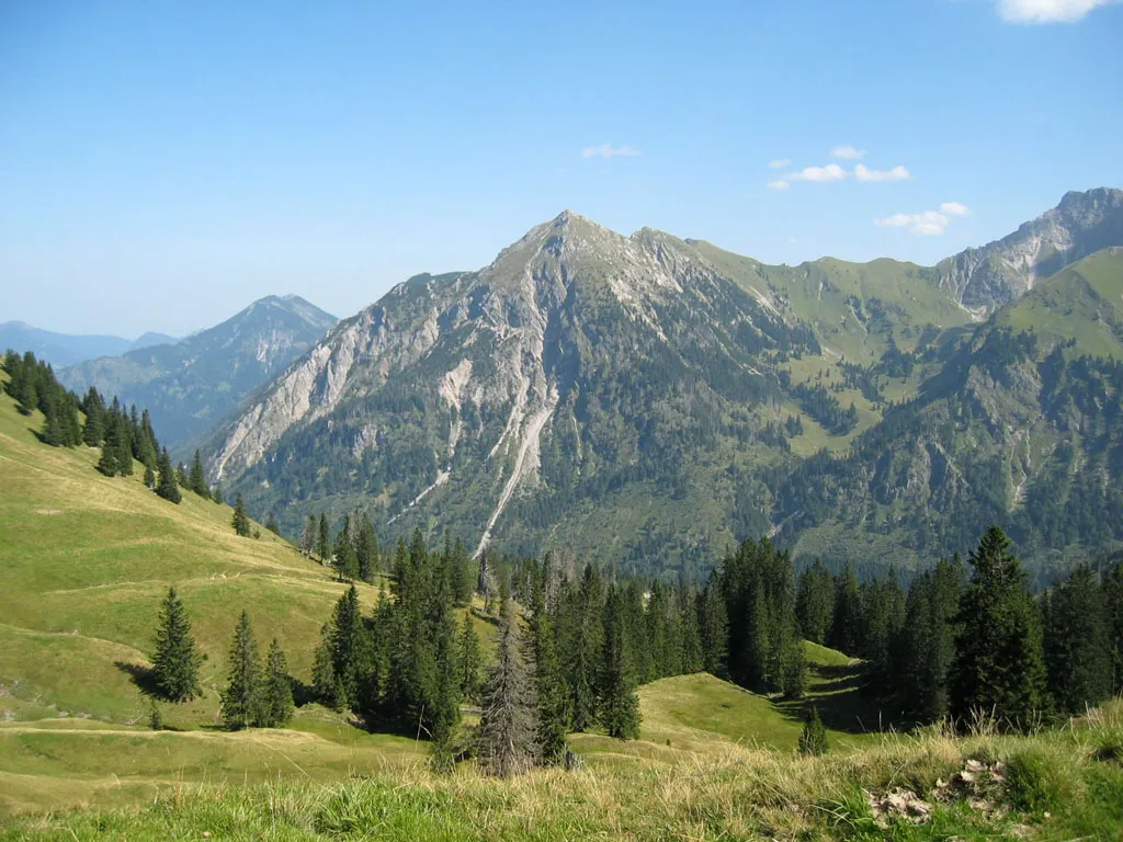 Rothspitz Mountain, Bad Hindelang, M1.6 km SW
-
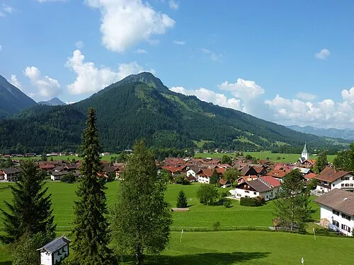 Imberger Horn Mountain, Sonthofen2.5 km NW
-
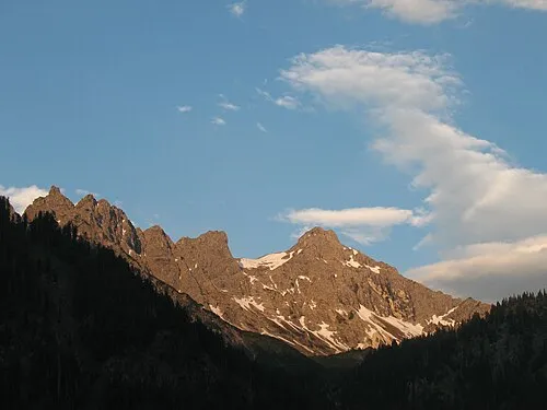 Kleiner Daumen Mountain, Bad Hindelang, M2.6 km S
-
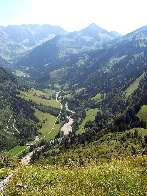 Retterschwang Natural site, Bavaria2.6 km SW
-
Schrattenberg Mountain, Bad Hindelang, M2.4 km N
More nature in Germany
-
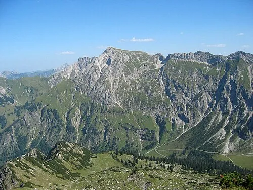 Großer Daumen Mountain, Bad Hindelang, M3.3 km S
-
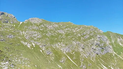 Pfannenhölzer Mountain, Bad Hindelang, M2.9 km SE
-
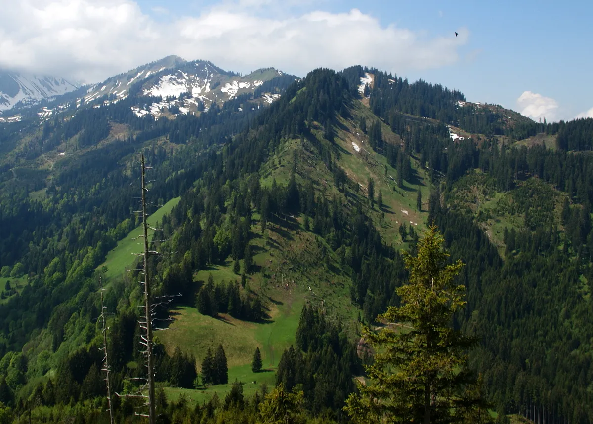 Gernkopf Mountain, Bad Hindelang, M3 km W
-
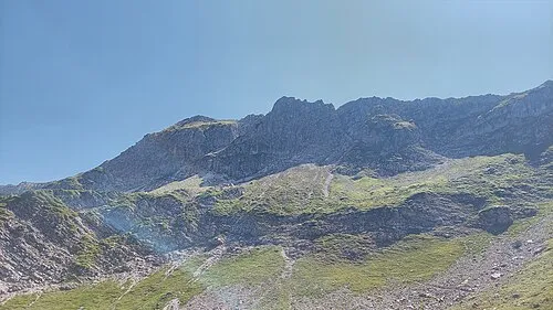 Hengst Mountain, Bad Hindelang, M3.6 km S
-
 Hirschberg Mountain, Bad Hindelang, M5.3 km N
-
Alpenrosenköpfle Mountain, Bad Hindelang, M2.5 km N
Sources & licences
Data last updated: