Giebel
Located in Bad Hindelang, M, Landkreis Oberallgäu Coordinates: 47°24′46″ N 10°23′55″ E
- Elevation
- 1,949 m
- above sea level
- Local time
- UTC+01:00
- Europe/Berlin · UTC+01:00
- Airports
- ACH Sankt Gallen Altenrhein Airport64 km
- FMM Memmingen Allgau Airport65 km
About Giebel
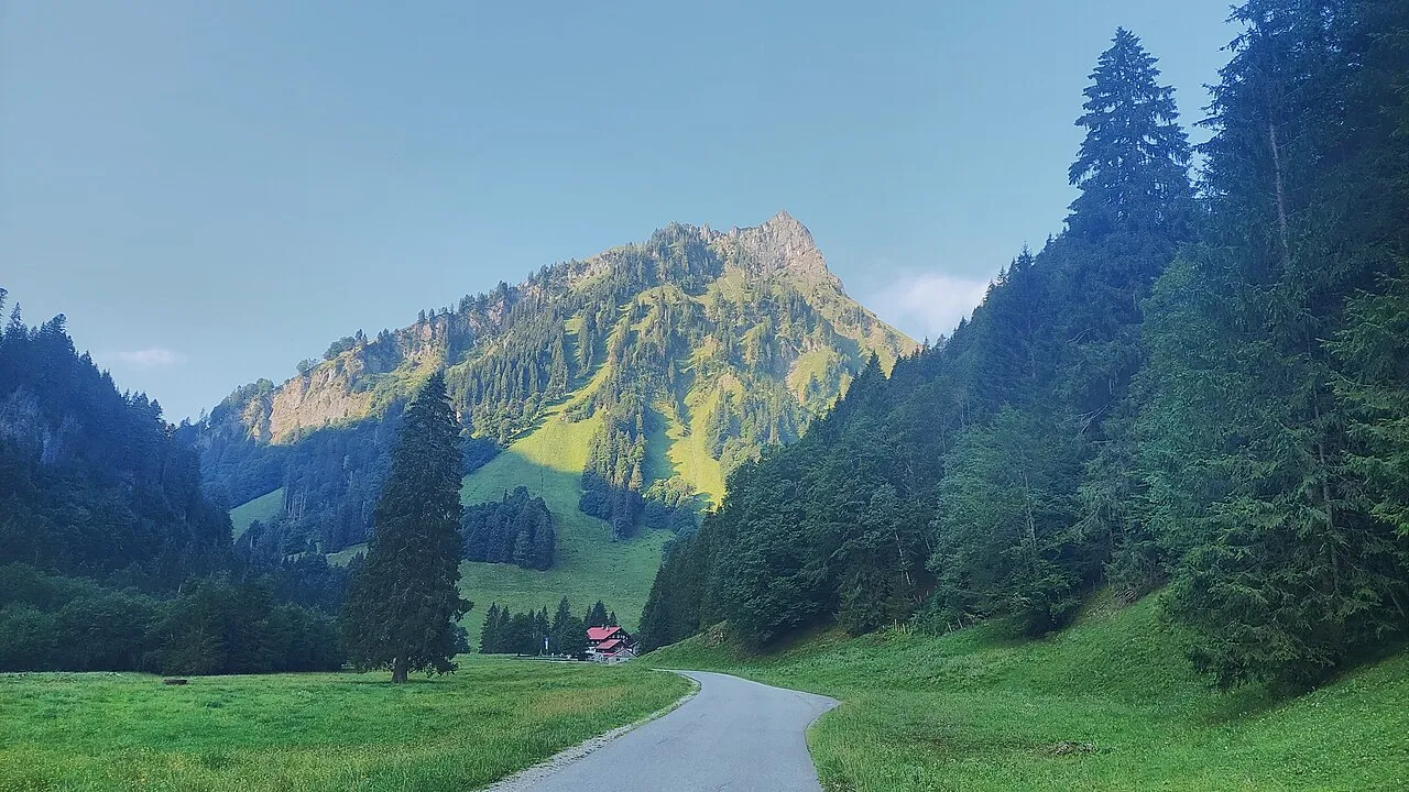
Giebel is a mountain. Location: Bad Hindelang, M, Landkreis Oberallgäu. Elevation: 1,949 m.
The Giebel is the northeastern corner of the mountain chain that branches off to the northeast at the Laufbacher Eck. It has a height of 1,949 metres and belongs to the Allgäu grass mountains. Northeast of the Giebel lies the Alpine hut of Giebelhaus, which may be reached on a road from Hinterstein that is not open to the public. From the Giebel there are impressive views down to the Giebelhaus. No waymarked path leads to the Giebel. It may be ascended, however, from the Feldalpe on trackless terrain.
Source: Wikipedia · CC BY-SA 4.0
At a glance
- Topographic prominence
- 7 m
Source: Wikidata
Photos of Giebel
-

Hansueli Krapf This file was uploaded with Commonist · CC BY-SA 3.0 -

Harald Hetzner · CC0 -

Frstgr · CC BY 3.0 -

Jonathan · Public domain -

Springginggelar · Public domain


Climate of Giebel
This month · November
A wet month
Day 1° · Night -6° · Rain 102 mm
- Hottest month
- July (day 14°)
- Coldest month
- January (night -10°)
- Wettest month
- July (173 mm)
- Driest month
- February (87 mm)
Bars: average monthly low and high temperature. Below: precipitation. Monthly averages for 1970–2000 at about 18 km resolution, adjusted for elevation. Highlighted months are mild and relatively dry. Source: WorldClim 2.1 (CC BY 4.0).
Show values as a table
| Month | Jan | Feb | Mar | Apr | May | Jun | Jul | Aug | Sep | Oct | Nov | Dec |
|---|---|---|---|---|---|---|---|---|---|---|---|---|
| Average high (°C) | -3° | -2° | 0° | 3° | 9° | 12° | 14° | 14° | 11° | 7° | 1° | -2° |
| Average low (°C) | -10° | -10° | -7° | -4° | 0° | 3° | 5° | 5° | 3° | -1° | -6° | -8° |
| Precipitation (mm) | 89 | 87 | 96 | 103 | 122 | 160 | 173 | 159 | 113 | 89 | 102 | 99 |
How to get to Giebel
The nearest airport is Sankt Gallen Altenrhein Airport (ACH), 64 km to the west as the crow flies. For international flights: Memmingen Allgau Airport (FMM) (65 km). The nearest large city is Innsbruck, 77 km to the east.
Airports
- Sankt Gallen Altenrhein Airport (ACH) St. Gallen 64 kmwest
- Memmingen Allgau Airport (FMM) Memmingen 65 kmnorth
- Bodensee Airport Friedrichshafen (FDH) Friedrichshafen 73 kmnorthwest
Nearby large cities
- Innsbruck Population: 132.5K 77 kmeast
- Augsburg Population: 301.1K 113 kmnorth
- Ulm Population: 120.5K 114 kmnorth
- Munich Population: 1.5M 119 kmnortheast
- Winterthur Population: 111.8K 127 kmwest
Straight-line distances; road distances are longer. Airport data: OurAirports.
Day trips from Giebel
Within 100 km: 392 historic and cultural sites, 5,387 natural sites, 1,252 lakes, rivers and coasts.
0–25 km681 places
- Vilsalpsee Lake 10 kmNE
- Traualpsee Lake 10 kmNE
- Rosskarsee Lake 21 kmS
- Haldensee Lake 15 kmNE
25–60 km2,398 places
- Weiher Diepoldsau Lake 55 kmW
- Alter Rhein Lake 57 kmW
- Nollen Lake 56 kmW
- Nollen Lake 55 kmW
60–100 km3,952 places
- Bayerisches Oberland Mountain 78 kmE
- Mainau Island 96 kmW
- Schloss Hirschberg am Haarsee Historic site 76 kmNE
- Dominikanerinsel Konstanz Island 96 kmW
Straight-line distances.
Nearest towns and villages
-
 Hinterstein Village, Bad Hindelang, M7.5 km N
-
 Oberstdorf Town, Oberstdorf, Markt9 km W
-
 Bad Oberdorf Village, Bad Hindelang, M9.9 km N
-
Oberstdorf, Markt Village, Landkreis Oberallgäu9 km W
-
Hinterhornbach Municipality, Politischer Bezirk Reutte7.5 km SE
-
 Vorderhindelang Village, Bad Hindelang, M11 km N
Nearby attractions & nature
Everything nearby-
Berggächtle Mountain, Bad Hindelang, M0.6 km SW
-
 Vorderer Wilder Mountain, Austria2 km SE
-
Oberschrattenberg Mountain, Bad Hindelang, M2.1 km E
-
 Lachenkopf Mountain, Bad Hindelang, M2.9 km SW
-
 Rotkopf Mountain, Oberstdorf, Markt2.8 km SW
-
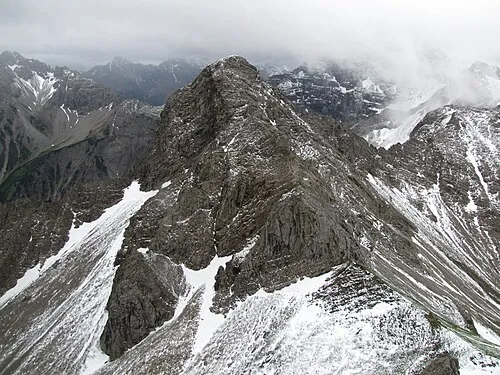 Kesselspitze Mountain, Bad Hindelang, M3 km SE
-
Salober Mountain, Bad Hindelang, M2 km SW
-
Bärgündelesbach River, Bavaria1.2 km E
More nature in Germany
-
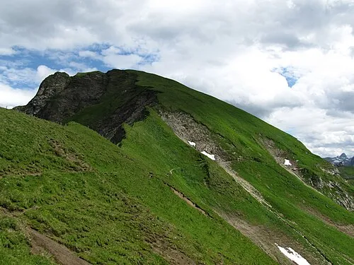 Großer Seekopf Mountain, Bad Hindelang, M3.4 km W
-
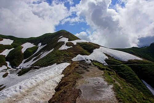 Zeiger Mountain, Bad Hindelang, M3.6 km W
-
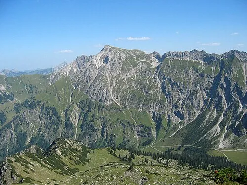 Großer Daumen Mountain, Bad Hindelang, M3.7 km NW
-
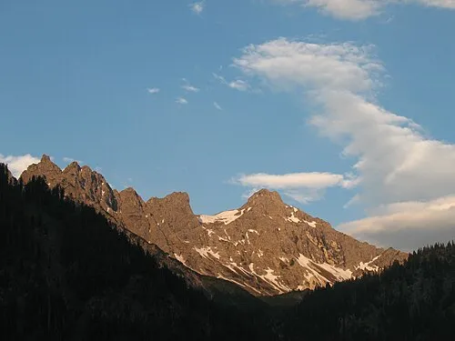 Kleiner Daumen Mountain, Bad Hindelang, M3.9 km N
-
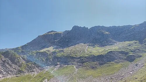 Hengst Mountain, Bad Hindelang, M3.1 km N
-
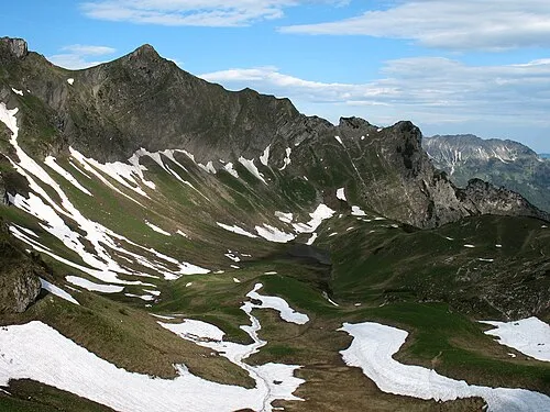 Falken Mountain, Bad Hindelang, M5 km NE
Sources & licences
Data last updated: · 2 independent sources