Fellhorn
Located in Oberstdorf, Markt, Landkreis Oberallgäu Coordinates: 47°21′02″ N 10°13′04″ E
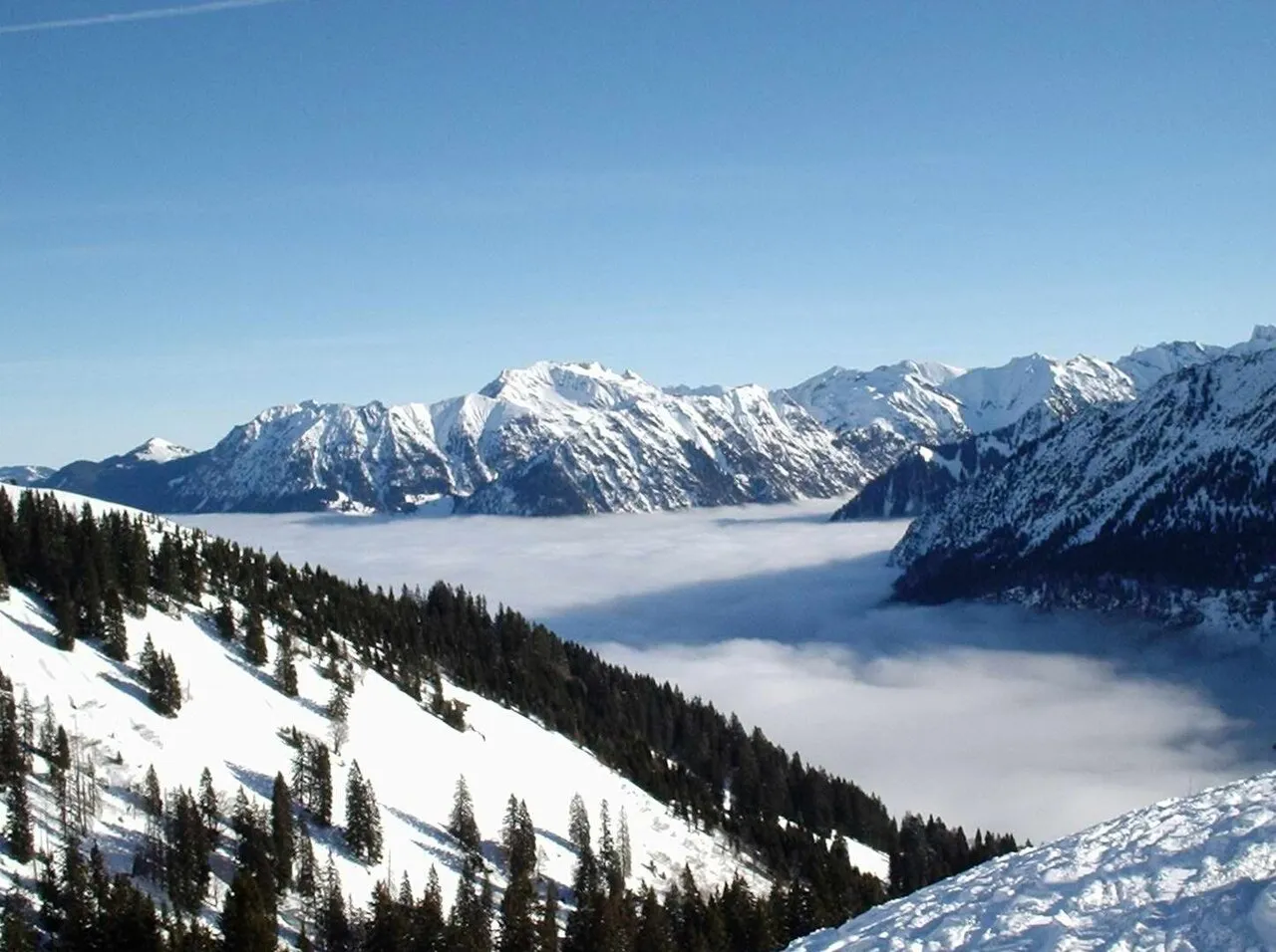
- Elevation
- 2,039 m
- above sea level
- Local time
- UTC+01:00
- Europe/Berlin · UTC+01:00
- Airports
- ACH Sankt Gallen Altenrhein Airport52 km
- FDH Bodensee Airport Friedrichshafen64 km
About Fellhorn
Fellhorn is a mountain. Location: Oberstdorf, Markt, Landkreis Oberallgäu. Elevation: 2,039 m.
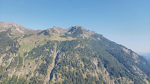
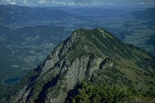
The Fellhorn (2,038 metres (6,686 ft)) is a mountain in the "Allgäu Alps" near Oberstdorf, Germany, on the border with Austria. It is known for its fields of alpenroses (Rhododendron ferrugineum). According to Austrian sources the mountain is 2,039 m above sea level (AA).
Source: Wikipedia · CC BY-SA 4.0
At a glance
- Topographic prominence
- 233 m
Source: Wikidata
Photos of Fellhorn
-

Alexander Vonbun · CC BY-SA 2.5 -

Cure3013 · CC BY-SA 4.0 -

Oleitner · CC BY-SA 4.0 -

Molgreen · CC BY-SA 4.0 -

Hajotthu · CC BY 3.0


Climate of Fellhorn
This month · November
A wet month
Day 0° · Night -8° · Rain 117 mm
- Hottest month
- July (day 14°)
- Coldest month
- January (night -12°)
- Wettest month
- July (192 mm)
- Driest month
- October (99 mm)
Bars: average monthly low and high temperature. Below: precipitation. Monthly averages for 1970–2000 at about 18 km resolution, adjusted for elevation. Highlighted months are mild and relatively dry. Source: WorldClim 2.1 (CC BY 4.0).
Show values as a table
| Month | Jan | Feb | Mar | Apr | May | Jun | Jul | Aug | Sep | Oct | Nov | Dec |
|---|---|---|---|---|---|---|---|---|---|---|---|---|
| Average high (°C) | -4° | -3° | 0° | 3° | 8° | 11° | 14° | 14° | 10° | 6° | 0° | -3° |
| Average low (°C) | -12° | -12° | -9° | -6° | -2° | 1° | 4° | 4° | 1° | -3° | -8° | -11° |
| Precipitation (mm) | 100 | 100 | 105 | 108 | 127 | 178 | 192 | 177 | 127 | 99 | 117 | 110 |
How to get to Fellhorn
The nearest airport is Sankt Gallen Altenrhein Airport (ACH), 52 km to the west as the crow flies. For international flights: Bodensee Airport Friedrichshafen (FDH) (64 km). The nearest large city is Innsbruck, 90 km to the east.
Airports
- Sankt Gallen Altenrhein Airport (ACH) St. Gallen 52 kmwest
- Bodensee Airport Friedrichshafen (FDH) Friedrichshafen 64 kmnorthwest
- Memmingen Allgau Airport (FMM) Memmingen 71 kmnorth
Nearby large cities
- Innsbruck Population: 132.5K 90 kmeast
- Winterthur Population: 111.8K 114 kmwest
- Ulm Population: 120.5K 118 kmnorth
- Augsburg Population: 301.1K 124 kmnortheast
- Zurich Population: 415.4K 126 kmwest
Straight-line distances; road distances are longer. Airport data: OurAirports.
Day trips from Fellhorn
Within 100 km: 392 historic and cultural sites, 5,540 natural sites, 1,243 lakes, rivers and coasts.
0–25 km774 places
- Zürser See Lake 20 kmS
- Vordersee Lake 23 kmSE
- Vilsalpsee Lake 25 kmNE
- Spullersee Lake 24 kmSW
25–60 km2,353 places
- Weiher Diepoldsau Lake 41 kmW
- Alter Rhein Lake 43 kmW
- Lai Verd Lake 60 kmS
- Lai da Minschun Lake 59 kmS
60–100 km4,048 places
- Bayerisches Oberland Mountain 93 kmE
- Mainau Island 86 kmNW
- Schloss Hirschberg am Haarsee Historic site 91 kmNE
- Dominikanerinsel Konstanz Island 86 kmNW
Straight-line distances.
Nearest towns and villages
-
 Riezlern Village, Mittelberg2.4 km W
-
Mittelberg Village, Mittelberg3.5 km W
-
Hirschegg Village, Mittelberg3.5 km W
-
Mittelberg Municipality, Politischer Bezirk Bregenz5.3 km SW
-
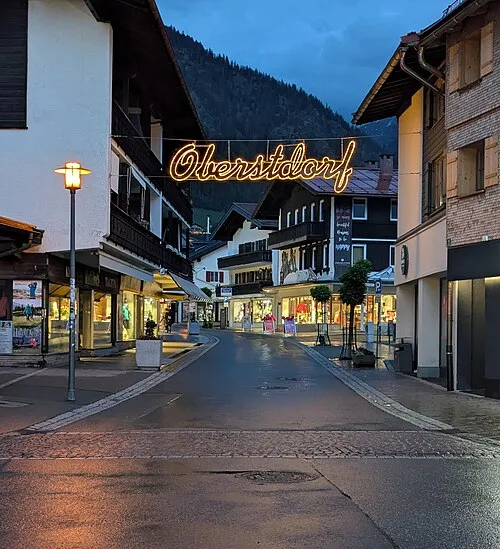 Oberstdorf Town, Oberstdorf, Markt7.8 km NE
-
Westegg Village, Mittelberg2.2 km NW
Nearby attractions & nature
Everything nearby-
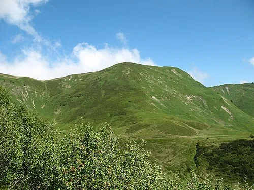 Schlappoltkopf Mountain, Austria1.1 km NE
-
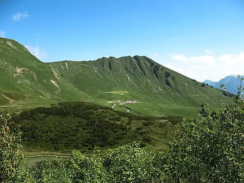 Söller Kopf Mountain, Oberstdorf, Markt1.7 km NE
-
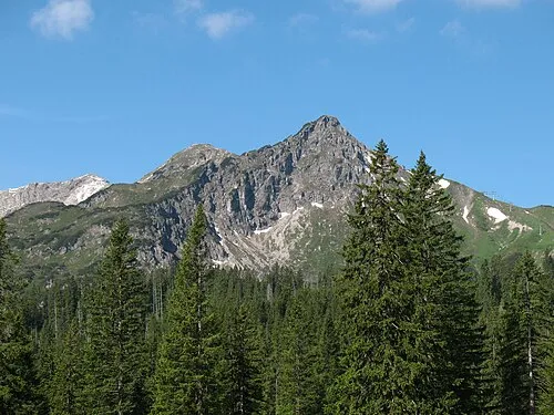 Kanzelwand Mountain, Mittelberg2.3 km SW
-
Schlappoltsee Lake, Bavaria0.7 km E
-
Gehrenspitze Mountain, Mittelberg1.4 km W
-
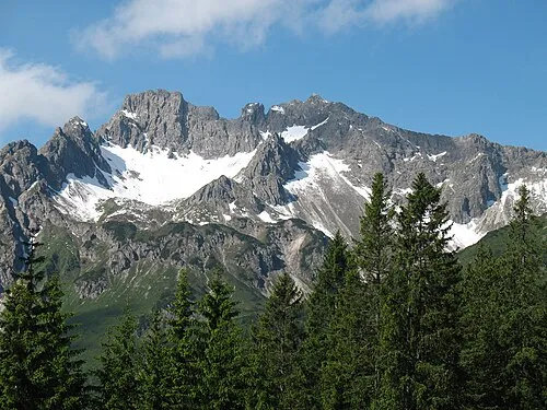 Hammerspitze Mountain, Mittelberg3 km SW
-
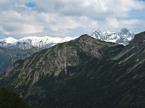 Schartenkopf Mountain, Oberstdorf, Markt2.6 km SE
-
Gundkopf Mountain, Mittelberg1.9 km SW
More nature in Germany
-
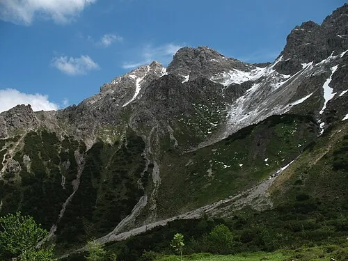 Alpgundkopf Mountain, Oberstdorf, Markt3.5 km SE
-
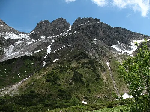
 Elbkopf Mountain, Oberstdorf, Markt3.9 km SE
-
 Roßgundkopf Mountain, Oberstdorf, Markt3.7 km S
-
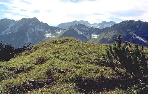
 Ringang Mountain, Oberstdorf, Markt3.5 km E
-
 Vorderer Wildgundkopf Mountain, Oberstdorf, Markt5.1 km E
-
 Himmelschrofen Mountain, Oberstdorf, Markt5.2 km E
Sources & licences
Data last updated: · 2 independent sources