Riffenkopf
Located in Oberstdorf, Markt, Landkreis Oberallgäu Coordinates: 47°22′45″ N 10°19′02″ E
- Elevation
- 1,709 m
- above sea level
- Local time
- UTC+01:00
- Europe/Berlin · UTC+01:00
- Airports
- ACH Sankt Gallen Altenrhein Airport58 km
- FMM Memmingen Allgau Airport68 km
About Riffenkopf
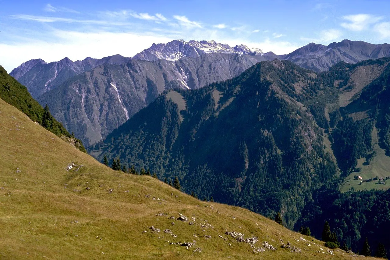
Riffenkopf is a mountain. Location: Oberstdorf, Markt, Landkreis Oberallgäu. Elevation: 1,709 m.
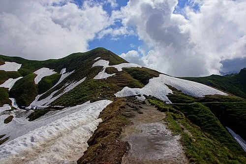
Riffenkopf is a 1,748 m high mountain in the Allgäu Alps in Bavaria, Germany. The peak is located on the ridge that extends from Höfats mountain to the west-north-west and is sometimes referred to as a foothill of Höfats. It is the first distinct summit on the ridge separating the Oy and Dietersbach valleys. There are no marked hiking trails on the Riffenkopf. Locals make use of hunting trails to reach the summit, but the route is overgrown and difficult to find.
Source: Wikipedia · CC BY-SA 4.0
At a glance
- Topographic prominence
- 106 m
Source: Wikidata
Photos of Riffenkopf
-

Harald Hetzner · CC0 -

Nikater · Public domain -

Nikater · Public domain -

Springginggelar · Public domain -
Zeiger Jurii · CC BY-SA 4.0


Climate of Riffenkopf
This month · November
A wet month
Day 2° · Night -6° · Rain 117 mm
- Hottest month
- July (day 16°)
- Coldest month
- January (night -10°)
- Wettest month
- July (192 mm)
- Driest month
- October (99 mm)
Bars: average monthly low and high temperature. Below: precipitation. Monthly averages for 1970–2000 at about 18 km resolution, adjusted for elevation. Highlighted months are mild and relatively dry. Source: WorldClim 2.1 (CC BY 4.0).
Show values as a table
| Month | Jan | Feb | Mar | Apr | May | Jun | Jul | Aug | Sep | Oct | Nov | Dec |
|---|---|---|---|---|---|---|---|---|---|---|---|---|
| Average high (°C) | -2° | -1° | 2° | 5° | 11° | 13° | 16° | 16° | 13° | 8° | 2° | -1° |
| Average low (°C) | -10° | -10° | -7° | -4° | 1° | 4° | 6° | 6° | 3° | -1° | -6° | -9° |
| Precipitation (mm) | 100 | 100 | 105 | 108 | 127 | 178 | 192 | 177 | 127 | 99 | 117 | 110 |
How to get to Riffenkopf
The nearest airport is Sankt Gallen Altenrhein Airport (ACH), 58 km to the west as the crow flies. For international flights: Memmingen Allgau Airport (FMM) (68 km). The nearest large city is Innsbruck, 82 km to the east.
Airports
- Sankt Gallen Altenrhein Airport (ACH) St. Gallen 58 kmwest
- Memmingen Allgau Airport (FMM) Memmingen 68 kmnorth
- Bodensee Airport Friedrichshafen (FDH) Friedrichshafen 69 kmnorthwest
Nearby large cities
- Innsbruck Population: 132.5K 82 kmeast
- Ulm Population: 120.5K 116 kmnorth
- Augsburg Population: 301.1K 119 kmnorth
- Winterthur Population: 111.8K 121 kmwest
- Munich Population: 1.5M 127 kmnortheast
Straight-line distances; road distances are longer. Airport data: OurAirports.
Day trips from Riffenkopf
Within 100 km: 393 historic and cultural sites, 5,427 natural sites, 1,239 lakes, rivers and coasts.
0–25 km696 places
- Vordersee Lake 24 kmS
- Vilsalpsee Lake 17 kmNE
- Traualpsee Lake 17 kmNE
- Rosskarsee Lake 21 kmSE
25–60 km2,482 places
- Weiher Diepoldsau Lake 49 kmW
- Alter Rhein Lake 51 kmW
- Nollen Lake 50 kmW
- Schaftällisee Lake 59 kmSW
60–100 km3,881 places
- Bayerisches Oberland Mountain 85 kmE
- Mainau Island 92 kmNW
- Schloss Hirschberg am Haarsee Historic site 83 kmNE
- Dominikanerinsel Konstanz Island 91 kmW
Straight-line distances.
Nearest towns and villages
-
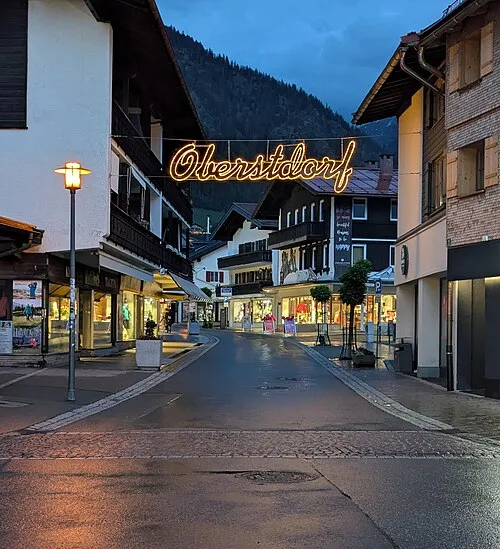 Oberstdorf Town, Oberstdorf, Markt4.2 km NW
-
 Gerstruben Village, Oberstdorf, Markt1.1 km S
-
Dietersberg Village, Oberstdorf, Markt1.3 km SW
-
Spielmannsau Village, Oberstdorf, Markt3.7 km S
-
Schwand Village, Oberstdorf, Markt4.4 km W
-
Ringang Village, Oberstdorf, Markt4.9 km SW
Nearby attractions & nature
Everything nearby-
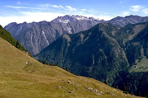 Vorder Riffenkopf Mountain, Oberstdorf, Markt0.7 km NW
-
Hinterer Riffenkopf Mountain, Oberstdorf, Markt<0.1 km N
-
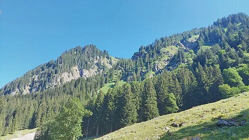 Wannenkopf Mountain, Oberstdorf, Markt0.9 km SE
-
Älpelekopf Mountain, Oberstdorf, Markt0.4 km SW
-
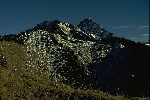 Hüttenkopf Mountain, Oberstdorf, Markt1.4 km E
-
Hahnenkopf Mountain, Oberstdorf, Markt0.5 km E
-
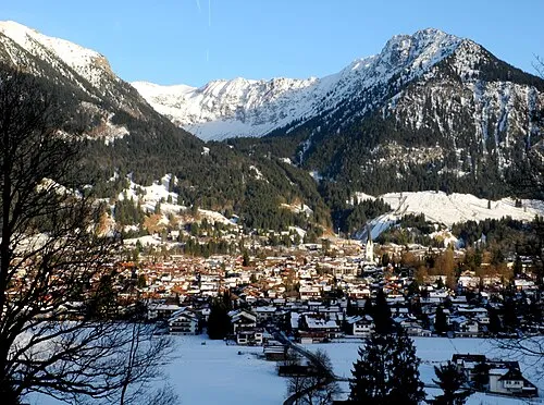 Schattenberg Mountain, Oberstdorf, Markt2.5 km N
-
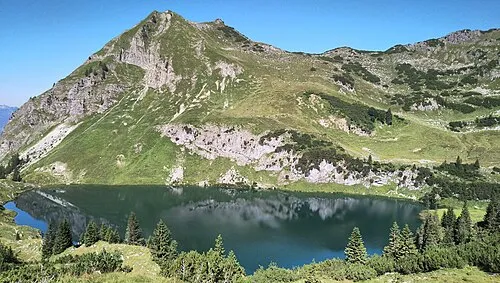 Seeköpfl Mountain, Oberstdorf, Markt2.7 km NE
More nature in Germany
-
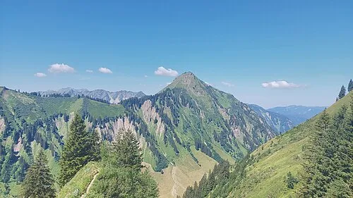 Kegelkopf Mountain, Oberstdorf, Markt2.8 km S
-
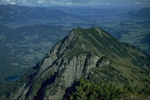 Himmelschrofen Mountain, Oberstdorf, Markt3.1 km SW
-
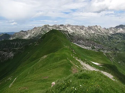 Kleiner Seekopf Mountain, Oberstdorf, Markt3.9 km NE
-
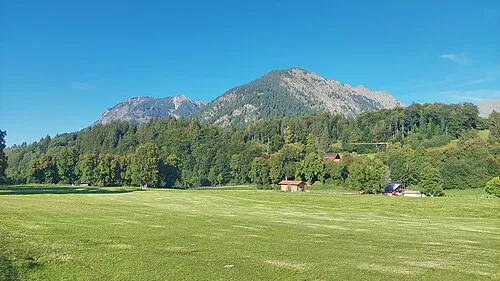 Dienersberg Mountain, Oberstdorf, Markt2.7 km NW
-
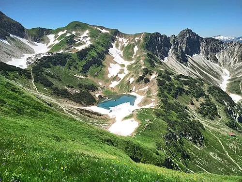 Gaißfuß Mountain, Oberstdorf, Markt4.4 km N
-
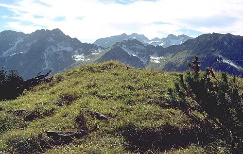 Vorderer Wildgundkopf Mountain, Oberstdorf, Markt4.4 km SW
Sources & licences
Data last updated: · 2 independent sources