Trettach Spitze
Located in Oberstdorf, Markt, Landkreis Oberallgäu Coordinates: 47°18′17″ N 10°17′43″ E
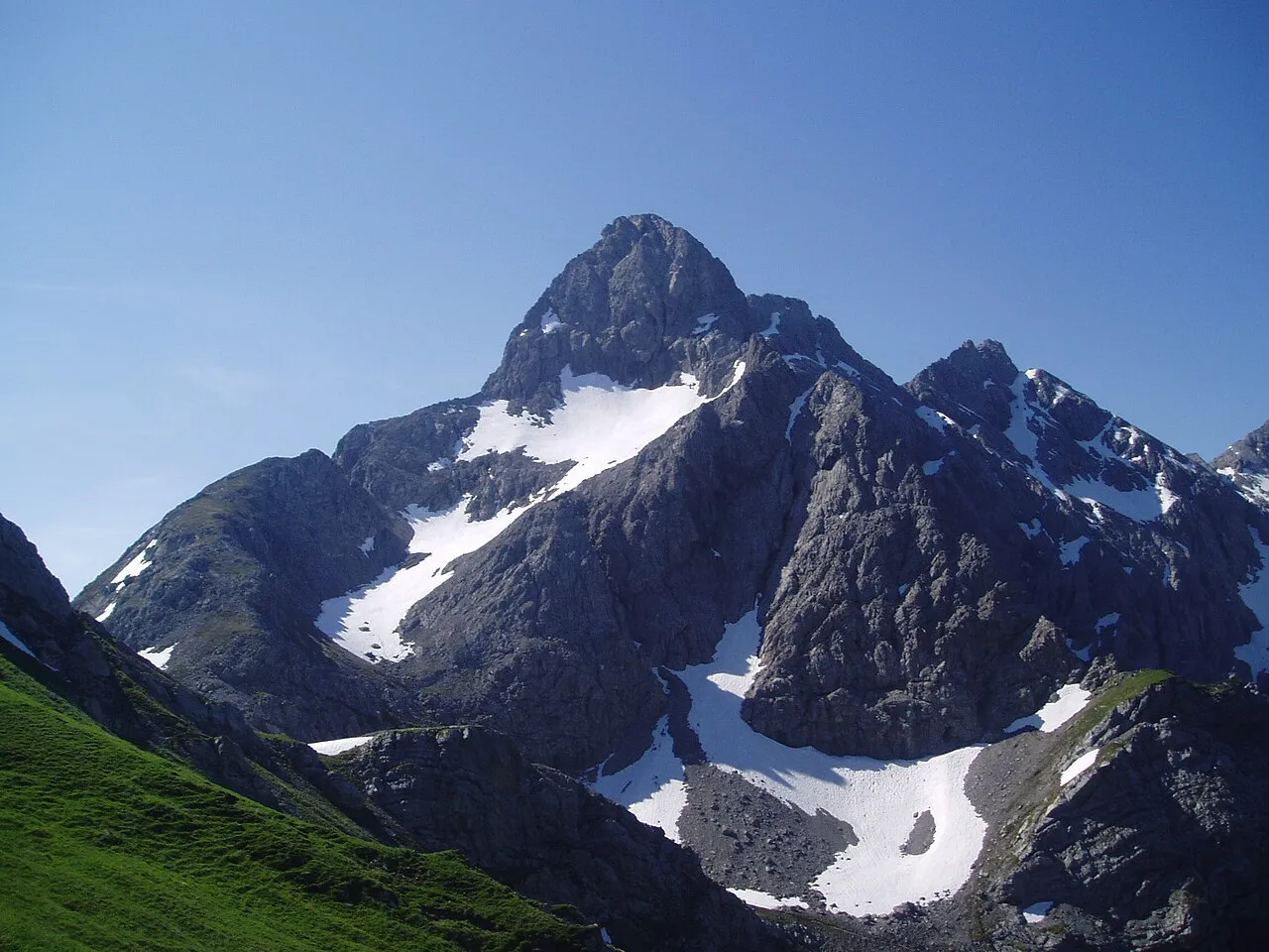
- Elevation
- 2,412 m
- above sea level
- Local time
- UTC+01:00
- Europe/Berlin · UTC+01:00
- Airports
- ACH Sankt Gallen Altenrhein Airport59 km
- FDH Bodensee Airport Friedrichshafen72 km
About Trettach Spitze
Trettach Spitze is a mountain. Location: Oberstdorf, Markt, Landkreis Oberallgäu. Elevation: 2,412 m.
The Trettachspitze is a 2,595-metre-high (8,514 ft) mountain in the Allgäu Alps in Germany. Due to its striking appearance (a very steep, narrow horn of rock when seen from the west and east) it is one of the best-known mountains in the Allgäu Alps.
Source: Wikipedia · CC BY-SA 4.0
At a glance
- Topographic prominence
- 144 m
Source: Wikidata
Photos of Trettach Spitze
-

Whgler · CC BY-SA 4.0 -

Edward Theodore Compton · Public domain -

Grenzlandstern · CC BY-SA 4.0 -

Molgreen · CC BY-SA 4.0 -

Christoph Matthias Siebenborn · CC BY-SA 4.0


Climate of Trettach Spitze
This month · November
A wet month
Day -2° · Night -9° · Rain 102 mm
- Hottest month
- July (day 11°)
- Coldest month
- February (night -13°)
- Wettest month
- July (165 mm)
- Driest month
- February (87 mm)
Bars: average monthly low and high temperature. Below: precipitation. Monthly averages for 1970–2000 at about 18 km resolution, adjusted for elevation. Highlighted months are mild and relatively dry. Source: WorldClim 2.1 (CC BY 4.0).
Show values as a table
| Month | Jan | Feb | Mar | Apr | May | Jun | Jul | Aug | Sep | Oct | Nov | Dec |
|---|---|---|---|---|---|---|---|---|---|---|---|---|
| Average high (°C) | -6° | -5° | -3° | 0° | 5° | 9° | 11° | 11° | 8° | 4° | -2° | -4° |
| Average low (°C) | -13° | -13° | -10° | -7° | -3° | 0° | 2° | 3° | 0° | -4° | -9° | -11° |
| Precipitation (mm) | 92 | 87 | 95 | 99 | 115 | 151 | 165 | 152 | 112 | 89 | 102 | 101 |
How to get to Trettach Spitze
The nearest airport is Sankt Gallen Altenrhein Airport (ACH), 59 km to the west as the crow flies. For international flights: Bodensee Airport Friedrichshafen (FDH) (72 km). The nearest large city is Innsbruck, 83 km to the east.
Airports
- Sankt Gallen Altenrhein Airport (ACH) St. Gallen 59 kmwest
- Bodensee Airport Friedrichshafen (FDH) Friedrichshafen 72 kmnorthwest
- Memmingen Allgau Airport (FMM) Memmingen 76 kmnorth
Nearby large cities
- Innsbruck Population: 132.5K 83 kmeast
- Winterthur Population: 111.8K 121 kmwest
- Ulm Population: 120.5K 124 kmnorth
- Augsburg Population: 301.1K 127 kmnorth
- Zurich Population: 415.4K 132 kmwest
Straight-line distances; road distances are longer. Airport data: OurAirports.
Day trips from Trettach Spitze
Within 100 km: 384 historic and cultural sites, 5,543 natural sites, 1,243 lakes, rivers and coasts.
0–25 km722 places
- Kapfkopf Mountain 24 kmS
- Zürser See Lake 19 kmSW
- Vordersee Lake 16 kmS
- Vilsalpsee Lake 24 kmNE
25–60 km2,532 places
- Weiher Diepoldsau Lake 48 kmW
- Alter Rhein Lake 50 kmW
- Lai Verd Lake 55 kmS
- Lai da Minschun Lake 54 kmS
60–100 km3,916 places
- Bayerisches Oberland Mountain 90 kmNE
- Mainau Island 94 kmNW
- Schloss Hirschberg am Haarsee Historic site 89 kmNE
- Dominikanerinsel Konstanz Island 93 kmNW
Straight-line distances.
Nearest towns and villages
-
Holzgau Municipality, Politischer Bezirk Reutte4.3 km SE
-
Einödsbach Village, Oberstdorf, Markt2.5 km NW
-
Birgsau Village, Oberstdorf, Markt3.9 km NW
-
Holzgau Village, Holzgau6.2 km SE
-
Spielmannsau Village, Oberstdorf, Markt4.8 km N
-
Hägerau Village, Steeg6.3 km S
Nearby attractions & nature
Everything nearby-
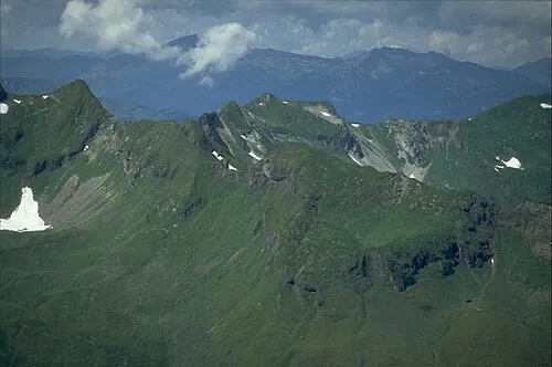 Wildengundkopf Mountain, Oberstdorf, Markt0.9 km N
-
Hohe Trettach Natural site, Bavaria0.1 km NW
-
Mädelegabel Mountain, Oberstdorf, Markt0.4 km S
-
Mädelegabel Mountain, Austria0.4 km S
-
 Spätengundkopf Mountain, Oberstdorf, Markt1.6 km N
-
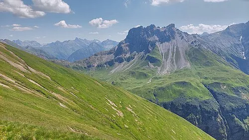 Kratzer Mountain, Oberstdorf, Markt1.8 km E
-
Hochfrott Spitze Mountain, Austria0.8 km S
-
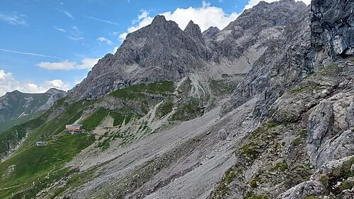 Westlicher Berg der guten Hoffnung Mountain, Oberstdorf, Markt1.6 km SW
More nature in Germany
-
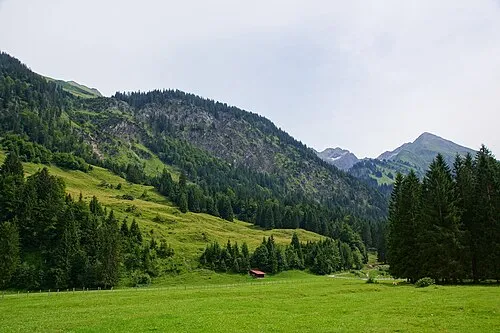 Einödsberg Mountain, Oberstdorf, Markt2.1 km NW
-
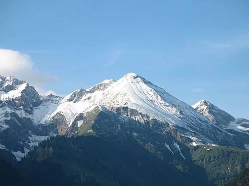 Linkers-Kopf Mountain, Oberstdorf, Markt2.9 km SW
-
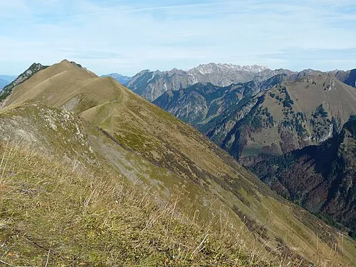 Schmalhorn Mountain, Oberstdorf, Markt3.3 km N
-
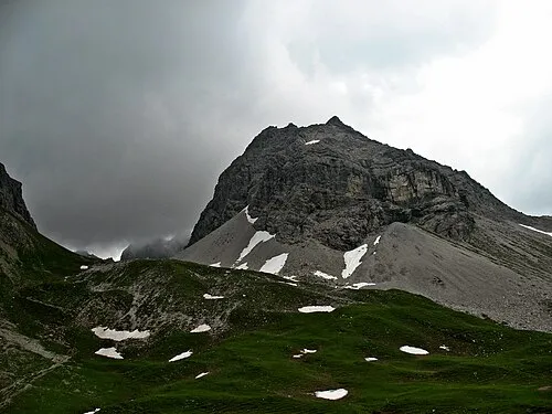 Hochgund-Spitze Mountain, Oberstdorf, Markt3.3 km SW
-
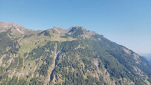 Elbkopf Mountain, Oberstdorf, Markt4.4 km W
-
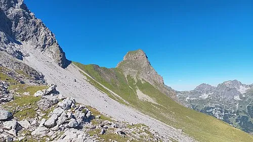 Kleiner Rappenkopf Mountain, Oberstdorf, Markt4.6 km SW
Sources & licences
Data last updated: · 2 independent sources