Tegernseer Berge
Located in Bavaria, Germany Coordinates: 47°43′00″ N 11°39′00″ E
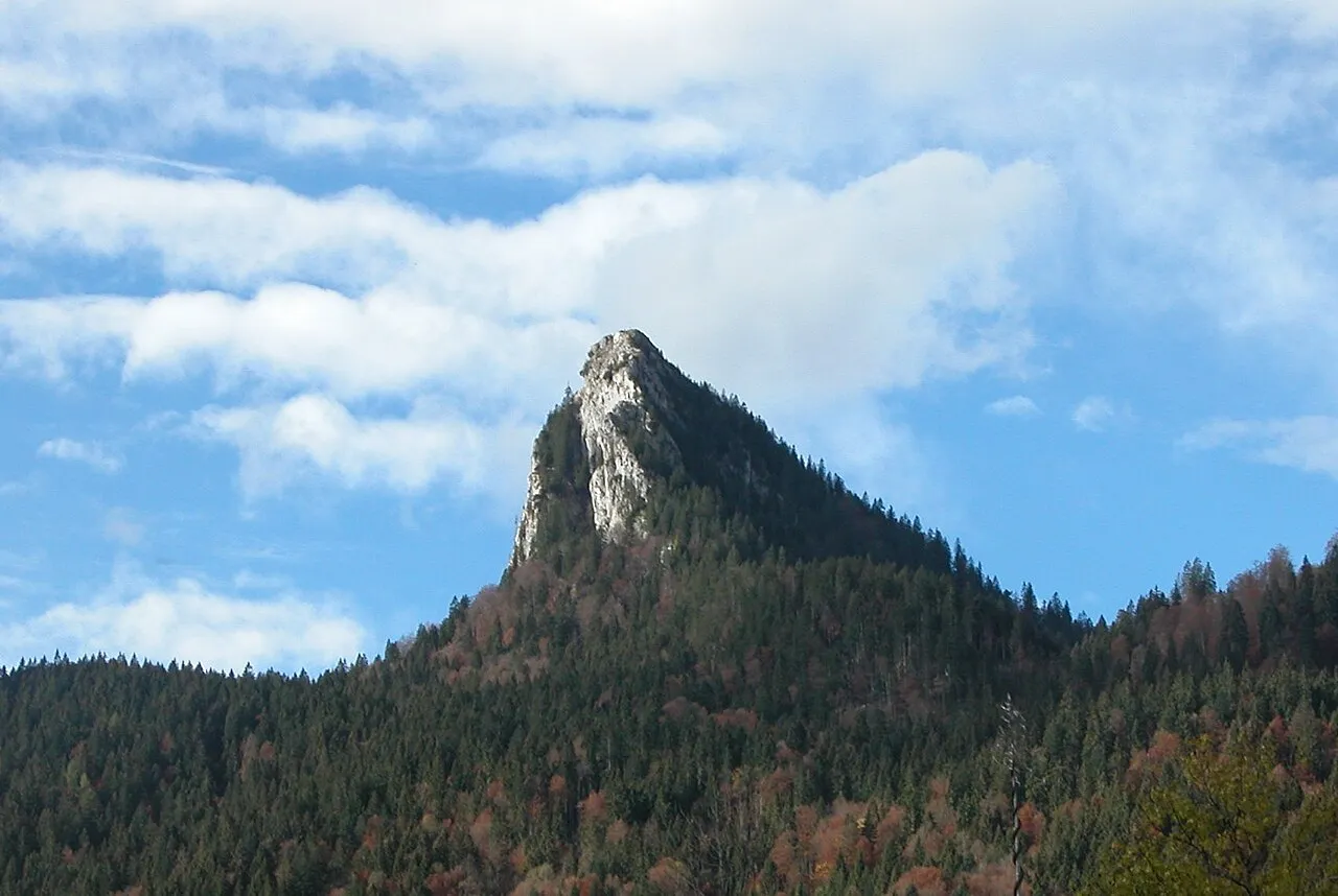
- Elevation
- 1,264 m
- above sea level
- Local time
- UTC+01:00
- Europe/Berlin · UTC+01:00
About Tegernseer Berge
Tegernseer Berge is a mountain. Location: Bavaria, Germany. Elevation: 1,264 m.
The Tegernsee Mountains (German: Tegernseer Berge) form a mountain region between the River Isar in the west and the lake of Tegernsee as well as the Rottach, Weißen Valepp and Grundache south of the Tegernsee, in the east, and so form a part of the Bavarian Prealps. The Tegernsee Mountains are also the westernmost part of the Mangfall Mountains (Mangfallgebirge). Well-known walking destinations are the peaks of a range of medium-high mountains with heights of under 2,000 m.
Read more on Wikipedia Text: Wikipedia contributors · CC BY-SA 4.0 · shortened
In comparison
- No. 971 of 25787 mountains in Germany by elevation
- 142 sights and natural places within 10 km Gronetseck, Lucken Kopf
Nearest towns and villages
-
Bad Wiessee Village, Landkreis Miesbach5 km E
-
Bad Wiessee Village, Bad Wiessee5 km E
-
Waakirchen Village, Landkreis Miesbach6.2 km NE
-
Reichersbeuern Village, Landkreis Bad Tölz-Wolfratshausen5.7 km N
-
Gaißach Village, Landkreis Bad Tölz-Wolfratshausen6.2 km NW
-
Reichersbeuern Village, Reichersbeuern5.7 km N
Nearby attractions & nature
Everything nearby-
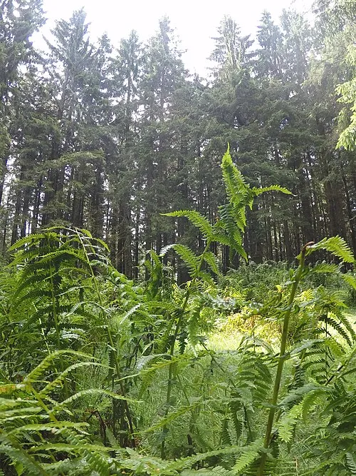 Gronetseck Mountain, Gaißach<0.1 km N
-
Mitterberg Mountain, Gaißach1.3 km W
-
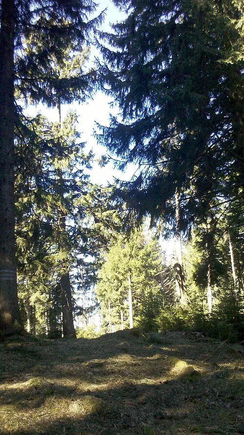 Kogel Kopf Mountain, Bad Wiessee1.8 km E
-
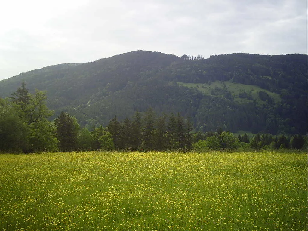 Rechelkopf Mountain, Gaißach2 km W
-
Lucken Kopf Mountain, Waakirchen1.1 km E
-
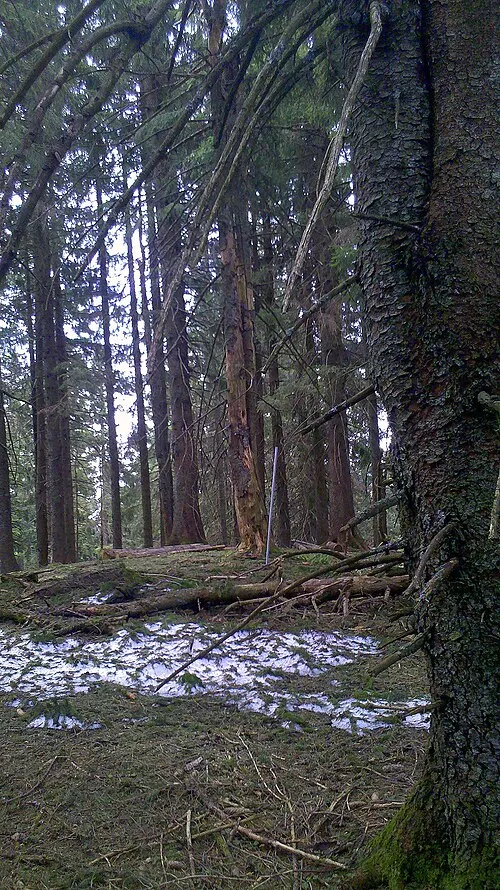 Huder Mountain, Bad Wiessee2.6 km SE
-
Sonnersbach River, Bavaria1.3 km W
-
Gefällberg Mountain, Waakirchen1.7 km N
More nature in Germany
-
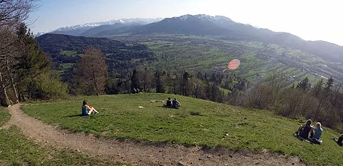 Schürfenkopf Mountain, Gaißach3.8 km W
-
Buchetskogel Mountain, Bad Wiessee3.6 km SE
-
Kehrberg Mountain, Reichersbeuern2.2 km NW
-
Platten Mountain, Reichersbeuern3.7 km N
-
Sülzkopf Mountain, Gaißach3.1 km NW
-
Schweinberg Mountain, Lenggries3.1 km SW
Sources & licences
Data last updated: · 2 independent sources