Bad Reichenhall
Located in Berchtesgadener Land, Upper Bavaria Coordinates: 47°43′27″ N 12°52′45″ E
- Population
- 18,288
- 18.3K
- Elevation
- 472 m
- above sea level
- Local time
- UTC+01:00
- Europe/Berlin · UTC+01:00
- Places inside
- 20
- listed under Bad Reichenhall
About Bad Reichenhall
Bad Reichenhall is a village. Location: Berchtesgadener Land, Upper Bavaria. Population: 18,288. Elevation: 472 m.
In comparison
- Most populous of 15 places in Berchtesgadener Land
- Nearest larger town: Berchtesgadener Land, 1 km N
- 108 sights and natural places within 10 km Wappbach, Bad Reichenhall, Augustinerchorherrenstift St. Zeno, Sakristei
- Listed here: Mountain: 10, Village: 8, Attraction: 1, Town: 1
Airports nearest to Bad Reichenhall
- Salzburg Airport (SZG) Salzburg 12 km
- Munich Airport (MUC) Munich 107 km
- Linz-Hörsching Airport (LNZ) Linz 113 km
Straight-line distance; airports with scheduled flights only. Source: OurAirports (public domain).
Places in Bad Reichenhall
20 places-
Bad Reichenhall Town16.9K
-
Froschham Village
-
Gebersberg Mountain
-
Heuberg Mountain
-
Hochschlegel Mountain
-
Hochstaufen Mountain
-
Kanzel Mountain
-
Karlstein Village
-
Kirchberg Village
-
Marzoll Village
-
Müllner Berg Mountain
-
Müllner Hörndl Mountain
-
Nonn Village
-
Predigtstuhl Mountain
-
Rabensteinhorn Mountain
-
Schwarzbach Village
-
Siebenpalfen Mountain
-
Türk Village
-
Weißbach Village
Nearby attractions & nature
Everything nearby-
Wappbach River, Bavaria0.9 km SW
-
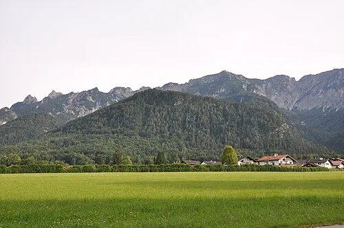 Hochplatte Mountain, Bayerisch Gmain2.4 km SE
-
Spechtenköpfe Mountain, Bayerisch Gmain2.3 km S
-
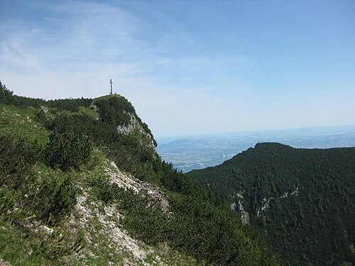 Dreisesselberg Mountain, Bischofswiesen4 km S
-
Saalachsee Lake, Bavaria2.3 km SW
-
Pflasterbachhörndl Mountain, Schneizlreuth4.3 km SW
Sources & licences
Data last updated: