Kleiner Rauher Kopf
Located in Berchtesgaden, Markt, Berchtesgadener Land Coordinates: 47°40′01″ N 12°58′41″ E
- Elevation
- 1,518 m
- above sea level
- Local time
- UTC+01:00
- Europe/Berlin · UTC+01:00
- Airports
- SZG Salzburg Airport14 km
- LNZ Linz-Hörsching Airport110 km
About Kleiner Rauher Kopf
Kleiner Rauher Kopf is a mountain. Location: Berchtesgaden, Markt, Berchtesgadener Land. Elevation: 1,518 m. The nearest airport is Salzburg Airport (14 km). Nearby sights include Großer Rauher Kopf and Kastensteinhöhe.
Photos of Kleiner Rauher Kopf
-
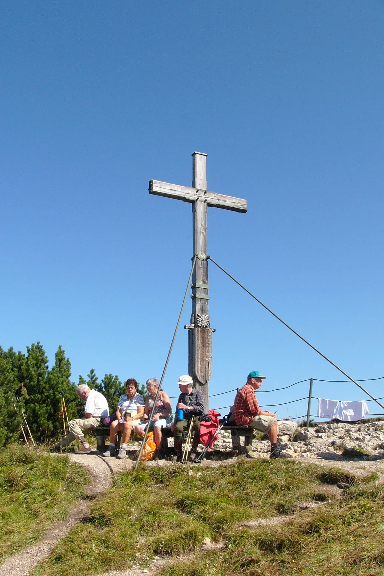
Hochschlegel Nikater · Public domain -
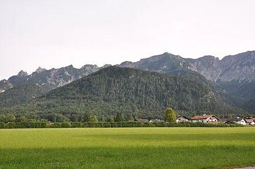
Hochplatte Chatter · CC BY-SA 3.0 -
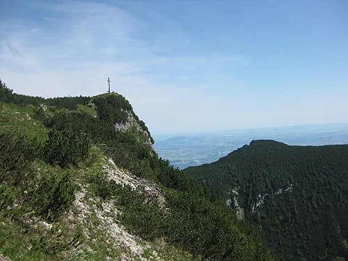
Dreisesselberg Thorsten Hartmann · CC BY-SA 3.0 -
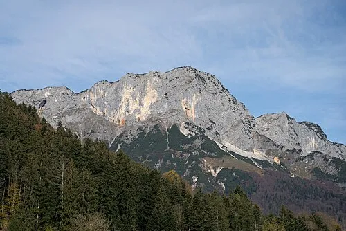
Berchtesgadener Hochthron Jörg Braukmann · CC BY-SA 4.0 -
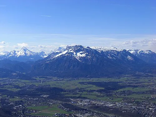
Salzburger Hochthron Viva La Ren · CC BY-SA 3.0


Climate of Kleiner Rauher Kopf
This month · November
A wet month
Day 1° · Night -6° · Rain 107 mm
- Hottest month
- July (day 16°)
- Coldest month
- January (night -10°)
- Wettest month
- July (187 mm)
- Driest month
- February (84 mm)
Bars: average monthly low and high temperature. Below: precipitation. Monthly averages for 1970–2000 at about 18 km resolution, adjusted for elevation. Highlighted months are mild and relatively dry. Source: WorldClim 2.1 (CC BY 4.0).
Show values as a table
| Month | Jan | Feb | Mar | Apr | May | Jun | Jul | Aug | Sep | Oct | Nov | Dec |
|---|---|---|---|---|---|---|---|---|---|---|---|---|
| Average high (°C) | -3° | -1° | 3° | 6° | 12° | 14° | 16° | 16° | 12° | 8° | 1° | -2° |
| Average low (°C) | -10° | -9° | -6° | -3° | 1° | 4° | 6° | 6° | 3° | -1° | -6° | -9° |
| Precipitation (mm) | 94 | 84 | 106 | 105 | 124 | 175 | 187 | 170 | 118 | 90 | 107 | 108 |
How to get to Kleiner Rauher Kopf
The nearest airport is Salzburg Airport (SZG), 14 km to the north as the crow flies. The nearest large city is Salzburg, 16 km to the north.
Airports
- Salzburg Airport (SZG) Salzburg 14 kmnorth
- Linz-Hörsching Airport (LNZ) Linz 110 kmnortheast
- Munich Airport (MUC) Munich 117 kmnorthwest
Nearby large cities
- Salzburg Population: 157.2K 16 kmnorth
- Munich Population: 1.5M 117 kmnorthwest
- Linz Population: 204.8K 121 kmnortheast
- Innsbruck Population: 132.5K 128 kmwest
- Klagenfurt Population: 100.3K 153 kmsoutheast
Straight-line distances; road distances are longer. Airport data: OurAirports.
Day trips from Kleiner Rauher Kopf
Within 100 km: 261 historic and cultural sites, 3,736 natural sites, 1,148 lakes, rivers and coasts.
0–25 km489 places
- Wiestalstausee Lake 17 kmNE
- Seewaldsee Lake 22 kmE
- Hintersee Lake 22 kmNE
- Ragginger See Lake 24 kmN
25–60 km1,501 places
- Hoher Dachstein Mountain 52 kmSE
- Frauenchiemsee Island 47 kmNW
- Herreninsel Island 48 kmNW
- Untersee Lake 59 kmSE
60–100 km3,155 places
- Fürlegsee Lake 65 kmSW
- Vorderer Langtalsee Lake 76 kmS
- Seeriessee Lake 68 kmSE
- Wildsee Lake 70 kmSE
Straight-line distances.
Nearest towns and villages
-
Bischofswiesen Village, Berchtesgadener Land2.8 km SW
-
Berchtesgaden Town, Berchtesgaden, Markt4.3 km SE
-
Obergern Village, Berchtesgaden, Markt1.2 km SE
-
Bischofswiesen Town, Bischofswiesen4 km S
-
Hintergern Village, Berchtesgaden, Markt2 km E
-
Vordergern Village, Berchtesgaden, Markt2.6 km SE
Nearby attractions & nature
Everything nearby-
Großer Rauher Kopf Mountain, Berchtesgaden, Markt0.3 km N
-
Kastensteinhöhe Mountain, Bischofswiesen1.5 km SW
-
Gschirrkopf Mountain, Berchtesgaden, Markt1.8 km SE
-
Berchtesgadener Hochthron Mountain, Bischofswiesen3 km N
-
Niernthalkopf Mountain, Bischofswiesen2.6 km NW
-
Gemeiner Feuerbichel Mountain, Bischofswiesen2.7 km NW
-
Kneifelsspitze Mountain, Bavaria3.2 km E
-
B'gadener Hochthron Mountain, Bischofswiesen3.3 km N
Sources & licences
Data last updated: · 2 independent sources