Mühlsturzhorn
Located in Ramsau b.Berchtesgaden, Berchtesgadener Land Coordinates: 47°35′30″ N 12°48′00″ E
- Elevation
- 2,020 m
- above sea level
- Local time
- UTC+01:00
- Europe/Berlin · UTC+01:00
- Airports
- SZG Salzburg Airport27 km
- MUC Munich Airport114 km
About Mühlsturzhorn
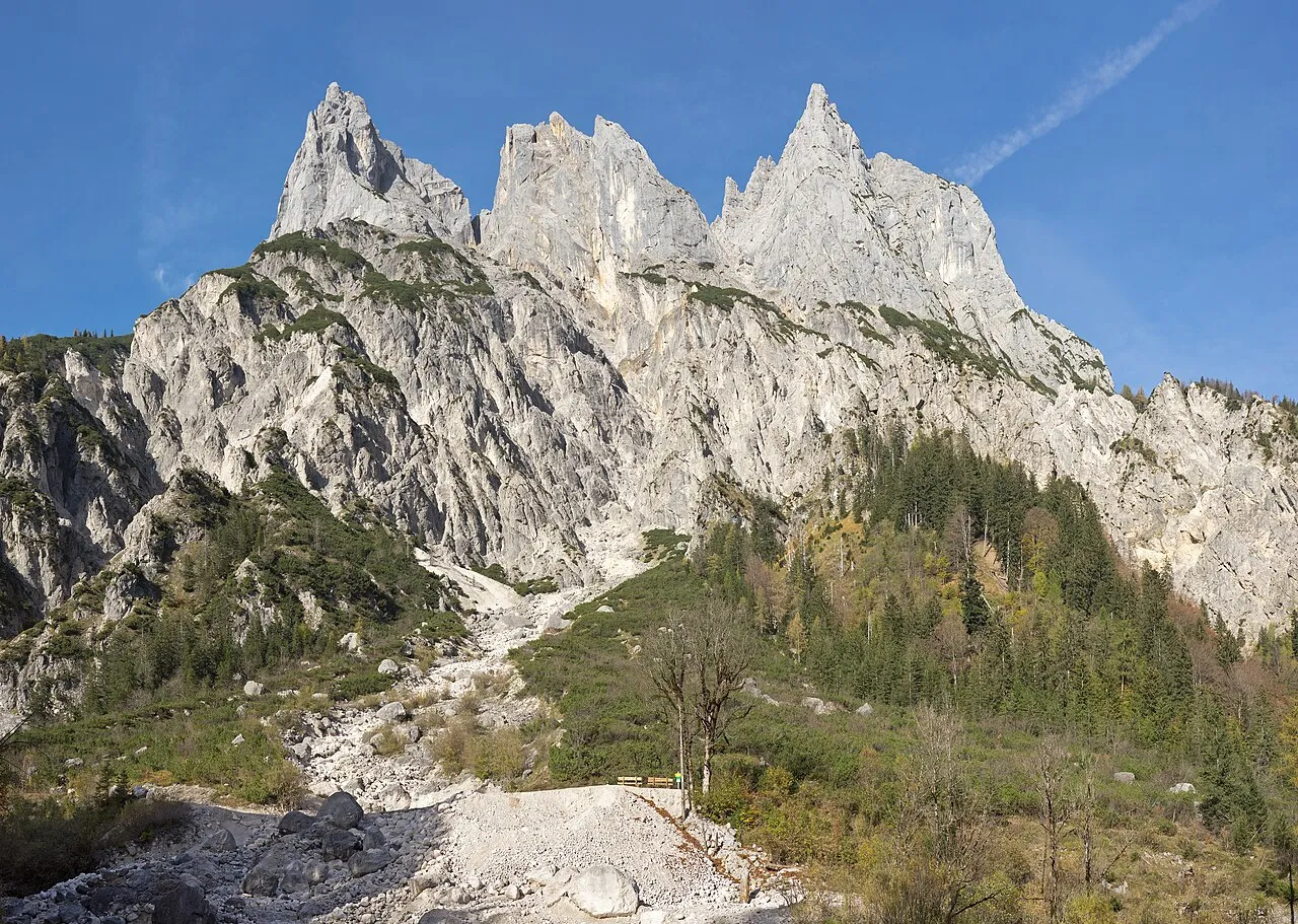
Mühlsturzhorn is a mountain. Location: Ramsau b.Berchtesgaden, Berchtesgadener Land. Elevation: 2,020 m.
The Mühlsturzhörner are two summits in the Reiter Alm in the Berchtesgaden Alps in the Upper Bavarian county of Berchtesgadener Land. The Großes Mühlsturzhorn is 2,234 m above sea level (NHN) and its top is around 300 metres southeast of the Stadelhorn, not far from the border between Bavaria and Salzburg in Austria. The Kleines Mühlsturzhorn is located 280 metres east-northeast and has a height of 2,141 m above NHN.
Source: Wikipedia · CC BY-SA 4.0
Photos of Mühlsturzhorn
-

Jörg Braukmann · CC BY-SA 4.0 -

Theodor von Hörmann · Public domain -

Jörg Braukmann · CC BY-SA 4.0 -

Josef Thoma · Public domain -

Heinrich Carl Schubert · Public domain


Climate of Mühlsturzhorn
This month · November
A cold month
Day -1° · Night -8° · Rain 92 mm
- Hottest month
- July (day 13°)
- Coldest month
- January (night -12°)
- Wettest month
- July (182 mm)
- Driest month
- February (73 mm)
Bars: average monthly low and high temperature. Below: precipitation. Monthly averages for 1970–2000 at about 18 km resolution, adjusted for elevation. Highlighted months are mild and relatively dry. Source: WorldClim 2.1 (CC BY 4.0).
Show values as a table
| Month | Jan | Feb | Mar | Apr | May | Jun | Jul | Aug | Sep | Oct | Nov | Dec |
|---|---|---|---|---|---|---|---|---|---|---|---|---|
| Average high (°C) | -5° | -4° | -1° | 3° | 8° | 11° | 13° | 13° | 10° | 5° | -1° | -4° |
| Average low (°C) | -12° | -11° | -9° | -6° | -1° | 2° | 4° | 4° | 1° | -3° | -8° | -11° |
| Precipitation (mm) | 81 | 73 | 90 | 94 | 117 | 166 | 182 | 160 | 112 | 85 | 92 | 95 |
How to get to Mühlsturzhorn
The nearest airport is Salzburg Airport (SZG), 27 km to the northeast as the crow flies. The nearest large city is Salzburg, 29 km to the northeast.
Airports
- Salzburg Airport (SZG) Salzburg 27 kmnortheast
- Munich Airport (MUC) Munich 114 kmnorthwest
- Innsbruck Airport (INN) Innsbruck 116 kmwest
Nearby large cities
- Salzburg Population: 157.2K 29 kmnortheast
- Munich Population: 1.5M 110 kmnorthwest
- Innsbruck Population: 132.5K 112 kmwest
- Linz Population: 204.8K 137 kmnortheast
- Klagenfurt Population: 100.3K 157 kmsoutheast
Straight-line distances; road distances are longer. Airport data: OurAirports.
Day trips from Mühlsturzhorn
Within 100 km: 254 historic and cultural sites, 4,007 natural sites, 1,166 lakes, rivers and coasts.
0–25 km490 places
- Wiesensee Lake 17 kmSW
- Piller See Lake 19 kmW
- Dießbachstausee Lake 9 kmS
- Seehornsee Lake 9 kmS
25–60 km1,654 places
- Frauenchiemsee Island 42 kmNW
- Herreninsel Island 42 kmNW
- Fürlegsee Lake 53 kmS
- Brandlsee Lake 40 kmS
60–100 km3,283 places
- Hoher Dachstein Mountain 62 kmE
- Sille River 94 kmS
- Vorderer Langtalsee Lake 66 kmS
- Seeriessee Lake 76 kmE
Straight-line distances.
Nearest towns and villages

Nearby attractions & nature
Everything nearby-
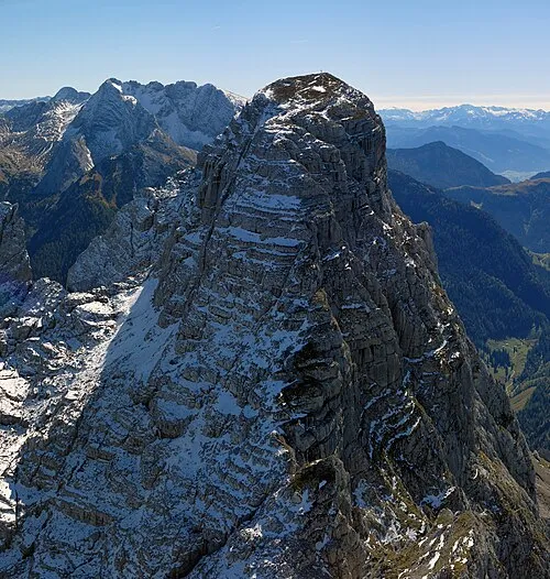 Stadelhorn Mountain, Ramsau b.Berchtesgaden0.4 km W
-
Plattelkopf Mountain, Austria0.9 km N
-
Teufelskopf Mountain, Ramsau b.Berchtesgaden1.9 km E
-
Gernhorn Mountain, Austria1.6 km SW
-
Drei Jäger Mountain, Carinthia1.6 km SW
-
Prünzlkopf Mountain, Austria1.6 km NE
-
Wagendrischelhorn Mountain, Germany1.6 km NW
-
Hifelwand Mountain, Lofer2.7 km W
More nature in Germany
-
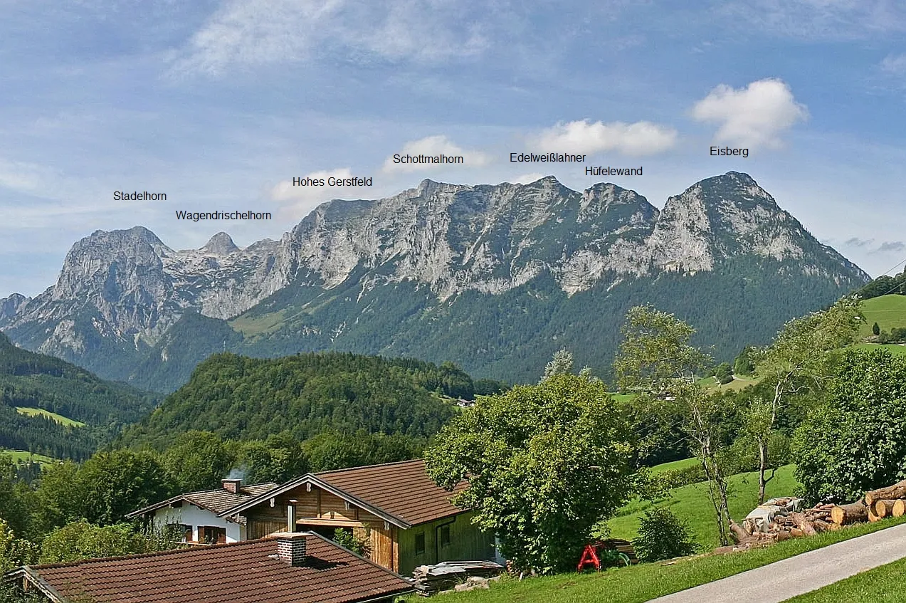 Edelweißlahner Kopf Mountain, Ramsau b.Berchtesgaden3.9 km NE
-
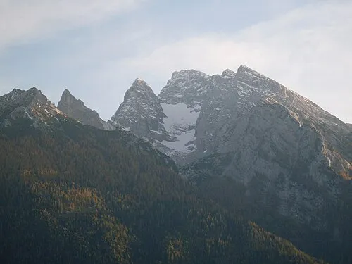 Wasserwandkopf Mountain, Ramsau b.Berchtesgaden4.9 km E
-
Salzkopf Mountain, Ramsau b.Berchtesgaden3 km SE
-
Hocheiskopf Mountain, Ramsau b.Berchtesgaden3.4 km SE
-
Reiter Alpe Mountain, Ramsau b.Berchtesgaden3.8 km NE
-
Blaueisspitze Mountain, Ramsau b.Berchtesgaden5.7 km SE
Sources & licences
Data last updated: · 2 independent sources