Krautinsel
Located in Upper Bavaria, Bavaria Coordinates: 47°52′08″ N 12°25′01″ E
- Elevation
- 521 m
- above sea level
- Local time
- UTC+01:00
- Europe/Berlin · UTC+01:00
About Krautinsel
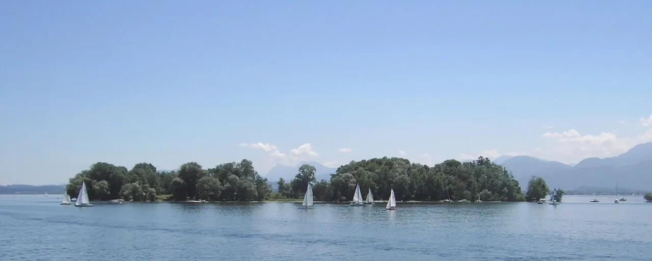
Krautinsel is an island. Location: Upper Bavaria, Bavaria.
Krautinsel is an island located in Chiemsee lake. With an area of 3.5 hectares, it is the smallest of the three islands in the Chiemsee (apart from the tiny artificial island of Schalch west of Frauenchiemsee, a.k.a. Fraueninsel). The island received its name because vegetables and herbs were grown there in the Middle Ages. Politically, it belongs to the municipality of Chiemsee in the Rosenheim district. Two nameless small islands 54 and 80 meters south of the herb island form its southern foothills.
Read more on Wikipedia Text: Wikipedia contributors · CC BY-SA 4.0 · shortened
At a glance
- Length
- 0.4 km
- Area
- 3.5 ha
Source: Wikidata
In comparison
- 26 sights and natural places within 10 km Frauenchiemsee, Schloss Herrenchiemsee
Nearest towns and villages
-
Gstadt a.Chiemsee Village, Landkreis Rosenheim1.6 km N
-
Gstadt am Chiemsee Village, Gstadt a.Chiemsee1.8 km N
-
Breitbrunn a.Chiemsee Village, Landkreis Rosenheim2.1 km NW
-
Chiemsee Village, Landkreis Rosenheim1.6 km SW
-
Chiemsee Village, Chiemsee1.4 km SW
-
Frauenchiemsee Village, Chiemsee0.8 km NE
Nearby attractions & nature
Everything nearby-
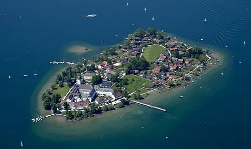 Frauenchiemsee Island, Upper Bavaria0.8 km NE
-
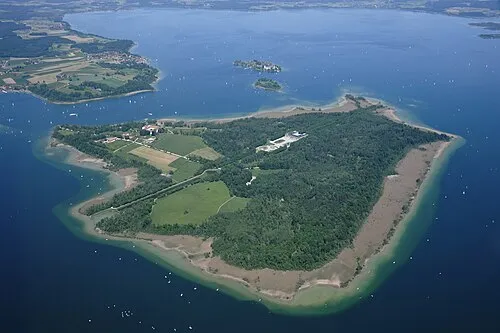 Herreninsel Island, Bavaria1.7 km SW
-
Schloss Herrenchiemsee Historic site, Chiemsee1.4 km SW
-
Aiglsbuch Natural site, Bavaria3.6 km N
-
Herrenchiemsee Historic site, Chiemsee1.6 km SW
-
Chiemsee Lake, Bavaria4.1 km NE
-
Prien River, Bavaria4.5 km W
-
Rott River, Bavaria4.7 km SE
Sources & licences
Data last updated: · 2 independent sources