Attenkirchen
Located in Landkreis Freising, Upper Bavaria Coordinates: 48°30′00″ N 11°46′00″ E
- Population
- 2,760
- 2.8K
- Elevation
- 510 m
- above sea level
- Local time
- UTC+01:00
- Europe/Berlin · UTC+01:00
- Places inside
- 14
- listed under Attenkirchen
About Attenkirchen
Attenkirchen is a village. Location: Landkreis Freising, Upper Bavaria. Population: 2,760. Elevation: 510 m.
In comparison
- No. 17 of 24 places in Landkreis Freising by population
- Nearest larger town: Nandlstadt, Markt, 4 km NE
- 2 sights and natural places within 10 km Schindlberg, Hörgertshausener Bach
- Listed here: Village: 14
Places in Attenkirchen
14 places-
Attenkirchen Village2.6K
-
Berging Village
-
Brandloh Village
-
Gallersberg Village
-
Gütlsdorf Village
-
Haarland Village
-
Hettenkirchen Village
-
Kronsdorf Village
-
Pfettrach Village
-
Pischlsdorf Village
-
Roggendorf Village
-
Staudhausen Village
-
Thalham Village
-
Wimpasing Village
Nearby attractions & nature
Everything nearby-
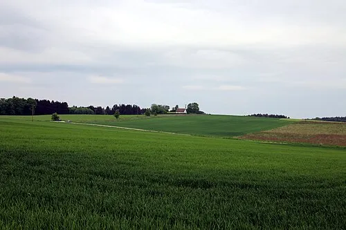 Schindlberg Mountain, Wolfersdorf6.9 km W
-
Sauberg Mountain, Kranzberg14 km SW
-
Benediktuskirche Freising Attraction, Freising11 km S
-
Freising St. Andreas Attraction, Freising11 km S
-
Diözesanmuseum Freising Museum, Freising11 km S
-
Günterdorf, Gem. Schweitenkirchen Oberbayern, Kirche Attraction, Schweitenkirchen12 km W
Sources & licences
Data last updated: