Öderberg
Located in Rottach-Egern, Landkreis Miesbach Coordinates: 47°37′32″ N 11°51′16″ E
- Elevation
- 1,257 m
- above sea level
- Local time
- UTC+01:00
- Europe/Berlin · UTC+01:00
About Öderberg
Öderberg is a mountain. Location: Rottach-Egern, Landkreis Miesbach. Elevation: 1,257 m.
In comparison
- No. 989 of 25787 mountains in Germany by elevation
- 115 sights and natural places within 10 km Rauhensackbach, Schlagkopf
Nearest towns and villages
-
Valepp Village, Schliersee, Markt3.1 km E
-
Kreuth Village, Landkreis Miesbach8.3 km W
-
Kreuth Village, Kreuth8.4 km W
-
Spitzingsee Village, Schliersee, Markt4.7 km NE
-
Brandenberg Municipality, Politischer Bezirk Kufstein9.6 km S
-
Enterrottach Village, Rottach-Egern6.3 km NW
Nearby attractions & nature
Everything nearby-
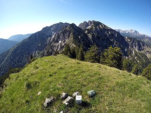 Pfaffenkopf Mountain, Rottach-Egern1.3 km S
-
Schlagkopf Mountain, Rottach-Egern1.2 km E
-
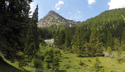 Rothkogel Mountain, Rottach-Egern1.9 km S
-
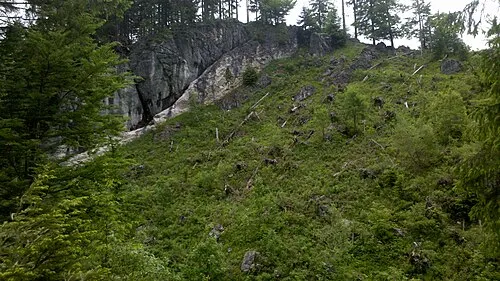 Rotzigmoosberg Mountain, Rottach-Egern1.9 km NW
-
Lahnerschneid Mountain, Rottach-Egern2 km NW
-
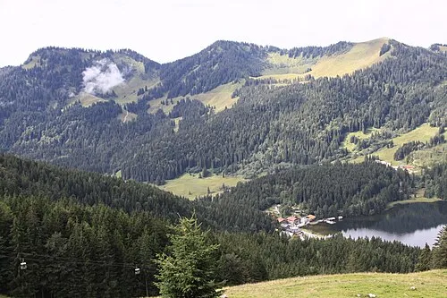 Rothkopf Mountain, Schliersee, Markt2.7 km N
-
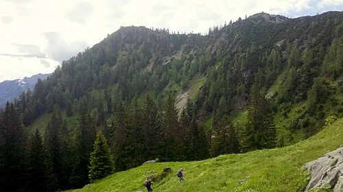 Lahner Kopf Mountain, Rottach-Egern2.7 km NW
-
Rauhensackbach River, Bavaria1.1 km W
More nature in Germany
-
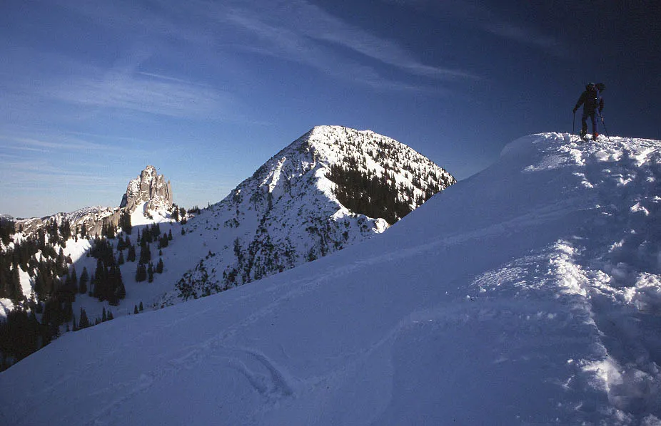 Risserkogel Mountain, Rottach-Egern4 km W
-
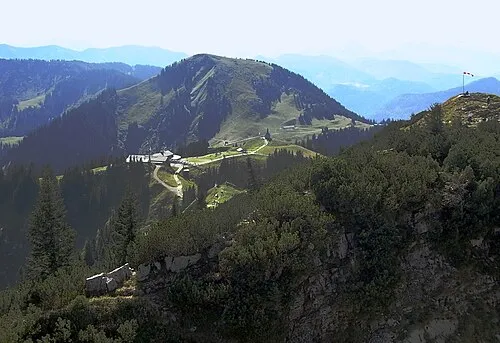 Setzberg Mountain, Rottach-Egern6 km NW
-
Siebelberg Mountain, Rottach-Egern3.5 km NW
-
Wasserspitz Mountain, Rottach-Egern6.3 km N
-
Blankenstein Mountain, Rottach-Egern4.3 km NW
-
Rinnerspitz Mountain, Rottach-Egern5.7 km N
Sources & licences
Data last updated: · 2 independent sources