Olympia Tower
Located in Munich, Munich, Urban District Coordinates: 48°10′29″ N 11°33′14″ E
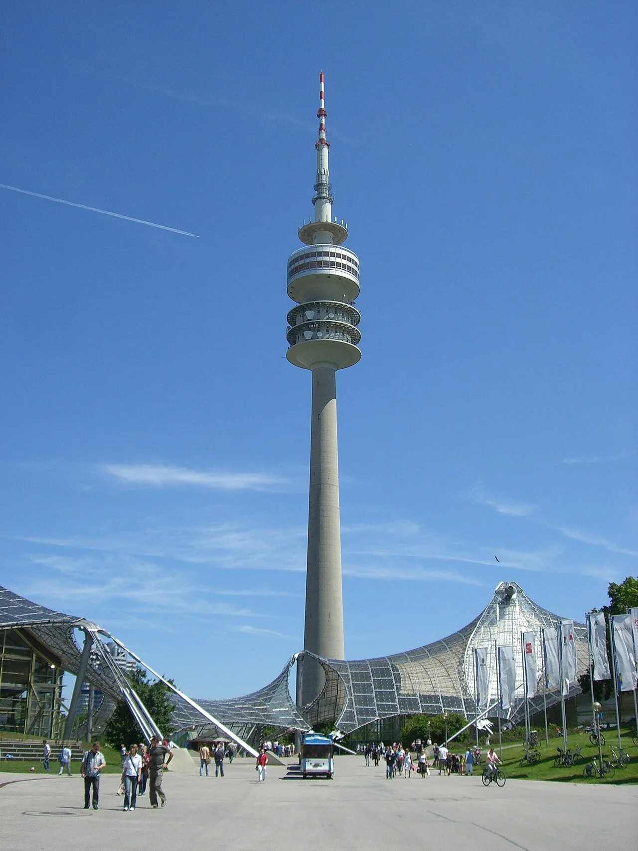
- Local time
- UTC+01:00
- Europe/Berlin · UTC+01:00
- Elevation
- 507 m
- above sea level
About Olympia Tower
Olympia Tower is a landmark. Location: Munich, Munich, Urban District.
The Olympic Tower (German: Olympiaturm) in the Olympic Park, Munich has an overall height of 291 m (955 ft) and a weight of 52,500 tons. At a height of 190 m (620 ft) there is an observation platform as well as an exhibition commemorating the 50th anniversary of the Tower. Previously in that space was a small rock-and-roll museum housing various memorabilia. Since its opening in 1968, the tower has registered over 43 million visitors (as of 2018).
Read more on Wikipedia Text: Wikipedia contributors · CC BY-SA 4.0 · shortened
At a glance
- Built
- 1968
- Opened
- 1968
- Heritage designation
- architectural heritage monument in Bavaria
- Height
- 290 m
Source: Wikidata
In comparison
- 107 sights and natural places within 10 km SEA LIFE München, SoccArena
Climate of Olympia Tower
Best months for sightseeing: June–September.
| Month | Jan | Feb | Mar | Apr | May | Jun | Jul | Aug | Sep | Oct | Nov | Dec |
|---|---|---|---|---|---|---|---|---|---|---|---|---|
| Average high (°C) | 3° | 4° | 9° | 13° | 18° | 21° | 23° | 23° | 19° | 13° | 7° | 4° |
| Average low (°C) | -4° | -3° | 0° | 3° | 8° | 11° | 13° | 12° | 9° | 5° | 0° | -2° |
| Precipitation (mm) | 45 | 46 | 53 | 64 | 87 | 111 | 118 | 102 | 79 | 62 | 66 | 56 |
Monthly averages for 1970–2000 at about 18 km resolution, adjusted for elevation. Highlighted months are mild and relatively dry. Source: WorldClim 2.1 (CC BY 4.0).
Airports nearest to Olympia Tower
- Munich Airport (MUC) Munich 26 km
- Memmingen Allgau Airport (FMM) Memmingen 100 km
- Innsbruck Airport (INN) Innsbruck 103 km
Straight-line distance; airports with scheduled flights only. Source: OurAirports (public domain).
Nearby attractions & nature
Everything nearby-
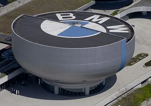 BMW Museum Museum, Munich0.5 km NE
-
SEA LIFE München Attraction, Munich0.2 km SE
-
SoccArena Landmark, Munich0.2 km E
-
BMW World Museum, Munich0.4 km NE
-
Olympia-Stadion Landmark, Munich0.6 km W
-
Olympiapark Natural site, Munich0.3 km SW
-
Event Arena Landmark, Munich1.1 km SW
-
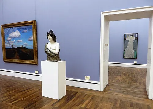 Neue Pinakothek Museum, Munich3 km SE
Nearest towns and villages
-
Schwabing Neighbourhood, Munich3 km SE
-
Maxvorstadt Neighbourhood, Munich3.3 km S
-
Moosach Neighbourhood, Munich3.1 km W
-
Am Hart Neighbourhood, Munich2.8 km NE
More sights in Munich
-
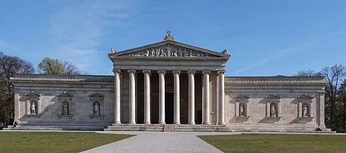 Staatliche Antiken-sammlungen München Museum, Munich3.2 km S
-
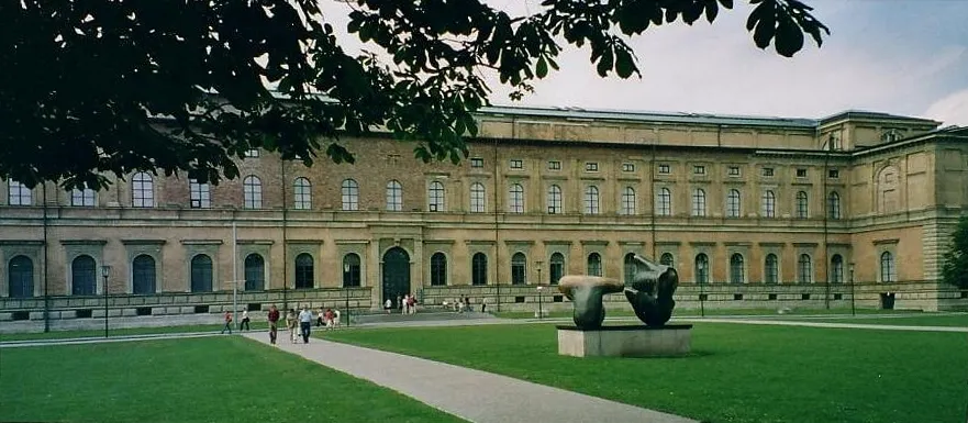 Alte Pinakothek Museum, Munich3.1 km S
-
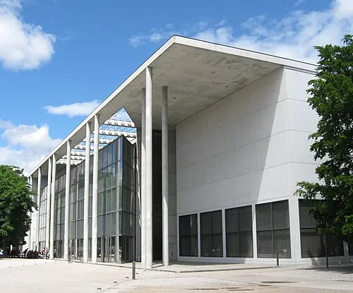 Pinakothek der Moderne Museum, Munich3.3 km SE
-
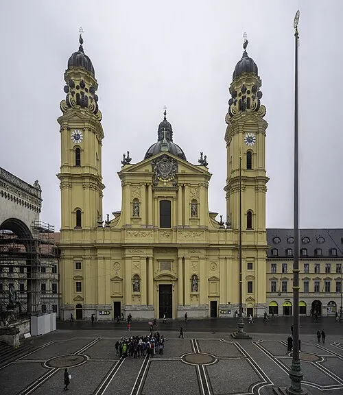 Saint Cajetan Church Attraction, Munich4 km SE
-
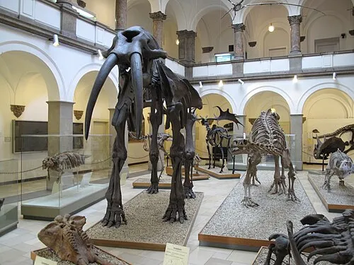 Paläontologisches Museum München Museum, Munich3.1 km S
-
 Alter Botanischer Garten Attraction, Munich3.7 km S
Sources & licences
Data last updated: · 2 independent sources