Sendling
Located in Munich, Munich, Urban District Coordinates: 48°07′11″ N 11°32′28″ E
- Population
- 41,230
- 41.2K
- Elevation
- 536 m
- above sea level
- Local time
- UTC+01:00
- Europe/Berlin · UTC+01:00
About Sendling
Sendling is a neighbourhood. Location: Munich, Munich, Urban District. Population: 41,230.
Sendling (German pronunciation: [ˈzɛntlɪŋ] ) is a borough of Munich. It is located south-west of the city centre and spans the city boroughs Sendling and Sendling-Westpark. Sendling is subdivided into Obersendling, Mittersendling, and Untersendling. Untersendling and Mittersendling are located in the borough of Sendling, and Obersendling is located in the borough of Thalkirchen-Obersendling-Forstenried-Fürstenried-Solln.
Read more on Wikipedia Text: Wikipedia contributors · CC BY-SA 4.0 · shortened
At a glance
- Area
- 3.9 km²
Source: Wikidata
In comparison
- No. 9 of 15 places in Munich by population
- Nearest larger town: Munich, 3 km NE
- 101 sights and natural places within 10 km München-Sendling Concentration Camp (Architekt Bücklers), Untersendling, alte Pfarrkirche St. Margareth
Nearby attractions & nature
Everything nearby-
Untersendling, alte Pfarrkirche St. Margareth Attraction, Munich0.2 km N
-
München-Sendling Concentration Camp (Architekt Bücklers) Historic site, Munich0.2 km N
-
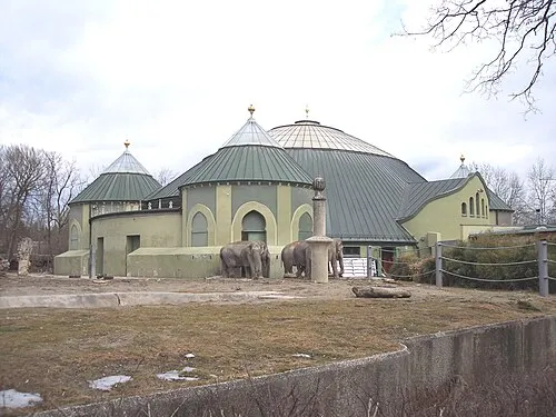 Hellabrunn Zoo Attraction, Munich2.6 km S
-
Audi Dome Landmark, Munich1.4 km NW
-
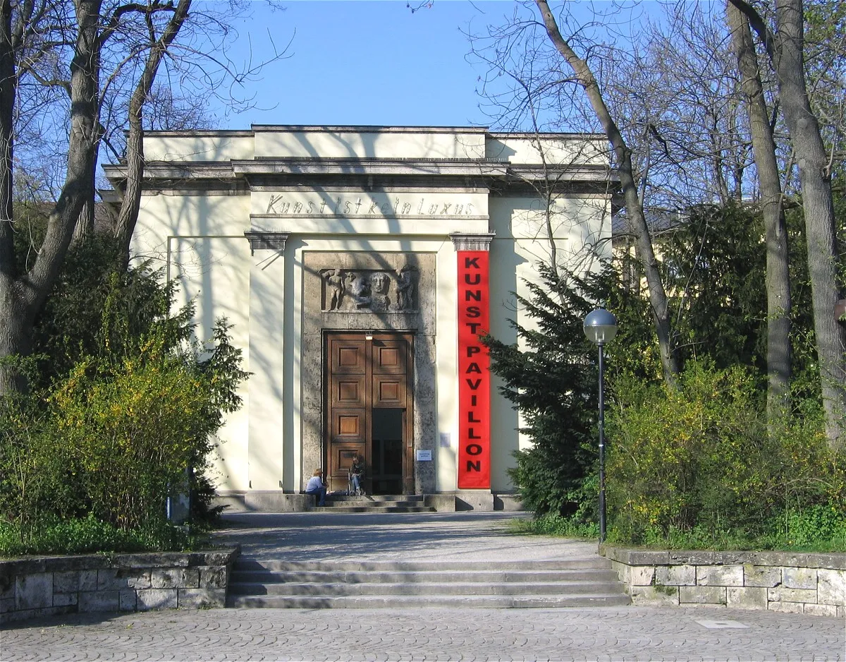 Alter Botanischer Garten Attraction, Munich3 km NE
-
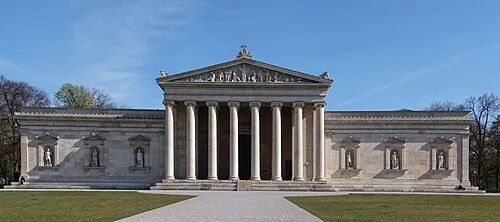 Staatliche Antiken-sammlungen München Museum, Munich3.5 km NE
Sources & licences
Data last updated: · 2 independent sources