Kreuzfelsen
Located in Furth im Wald, Cham Coordinates: 49°20′20″ N 12°47′07″ E
- Elevation
- 936 m
- above sea level
- Local time
- UTC+01:00
- Europe/Berlin · UTC+01:00
About Kreuzfelsen
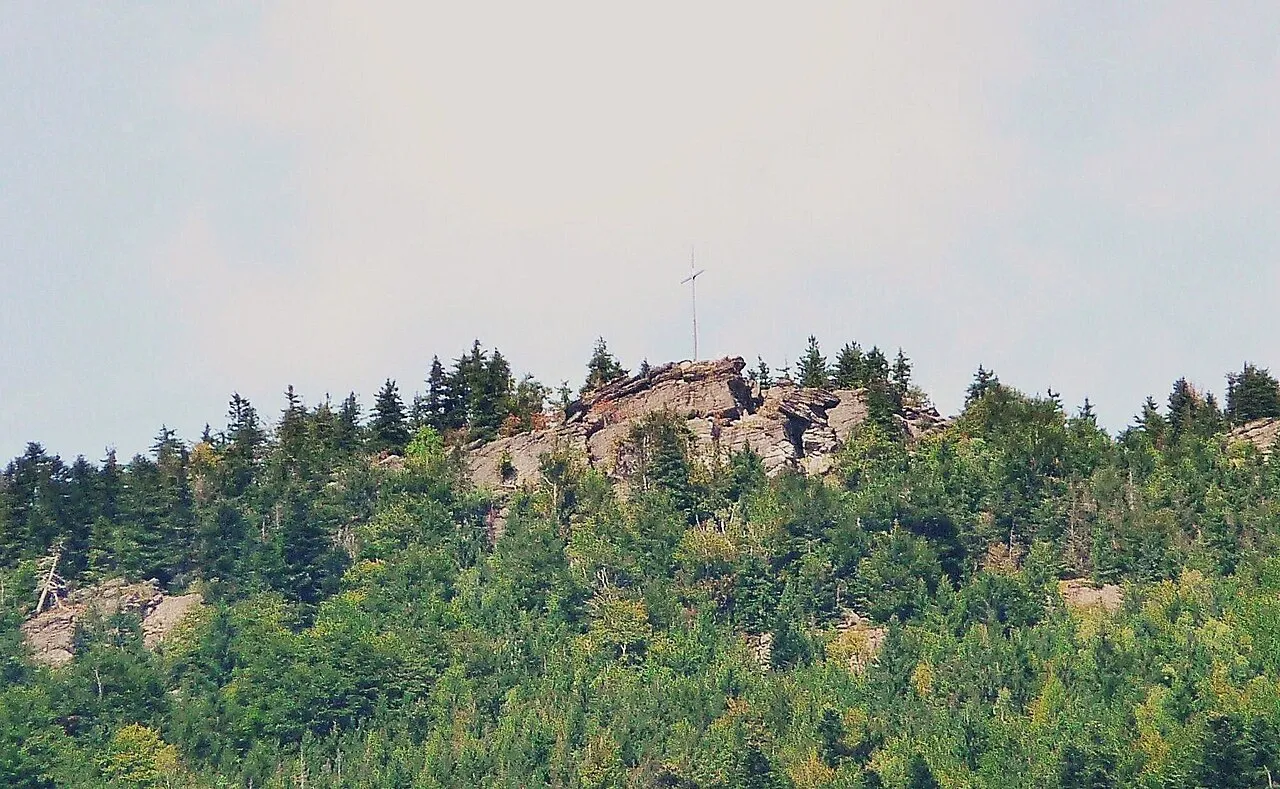
Kreuzfelsen is a mountain. Location: Furth im Wald, Cham. Elevation: 936 m.
The Kreuzfelsen is a 999 m (3,278 ft) high rock outcrop, that forms the western cornerstone of the Kaitersberg mountain ridge in the Bavarian Forest in southern Germany. From the giant cross on its summit the view sweeps down into the Zeller Valley and over to the town of Bad Kötzting and also far over the western part of the Bavarian Forest. Below the Kreuzfelsen is "Highwayman Heigl's Cave" (Räuber-Heigl's-Höhle), the hideout of a 19th-century robber.
Read more on Wikipedia Text: Wikipedia contributors · CC BY-SA 4.0 · shortened
In comparison
- No. 1765 of 25787 mountains in Germany by elevation
- 26 sights and natural places within 10 km Reiseck, Dreiwappen
Nearest towns and villages
-
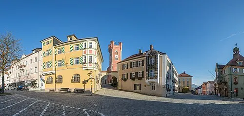 Furth im Wald Town, Furth im Wald5.2 km SE
-
Gibacht Village, Waldmünchen1 km SW
-
Voithenberg Village, Furth im Wald2 km SE
-
Althütte Village, Waldmünchen1.4 km W
-
Bucher Village, Waldmünchen1.8 km NW
-
Gleißenberg Village, Gleißenberg4.5 km SW
Nearby attractions & nature
Everything nearby-
Reiseck Mountain, Furth im Wald1.2 km S
-
Dreiwappen Mountain, Germany1.3 km N
-
Dachsriegel Mountain, Furth im Wald2.3 km S
-
Schindelhöhe Mountain, Furth im Wald2.6 km SE
-
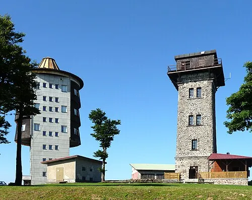 Čerchov Mountain, Česká Kubice5 km N
-
Hvozdy Mountain, Česká Kubice4.4 km N
-
Malinová hora Mountain, Česká Kubice5.6 km N
-
Hinterer Hiener Mountain, Waldmünchen6 km W
Sources & licences
Data last updated: · 2 independent sources