Ödriegel
Located in Lam, Markt, Cham Coordinates: 49°09′32″ N 13°01′36″ E
- Elevation
- 1,156 m
- above sea level
- Local time
- UTC+01:00
- Europe/Berlin · UTC+01:00
About Ödriegel
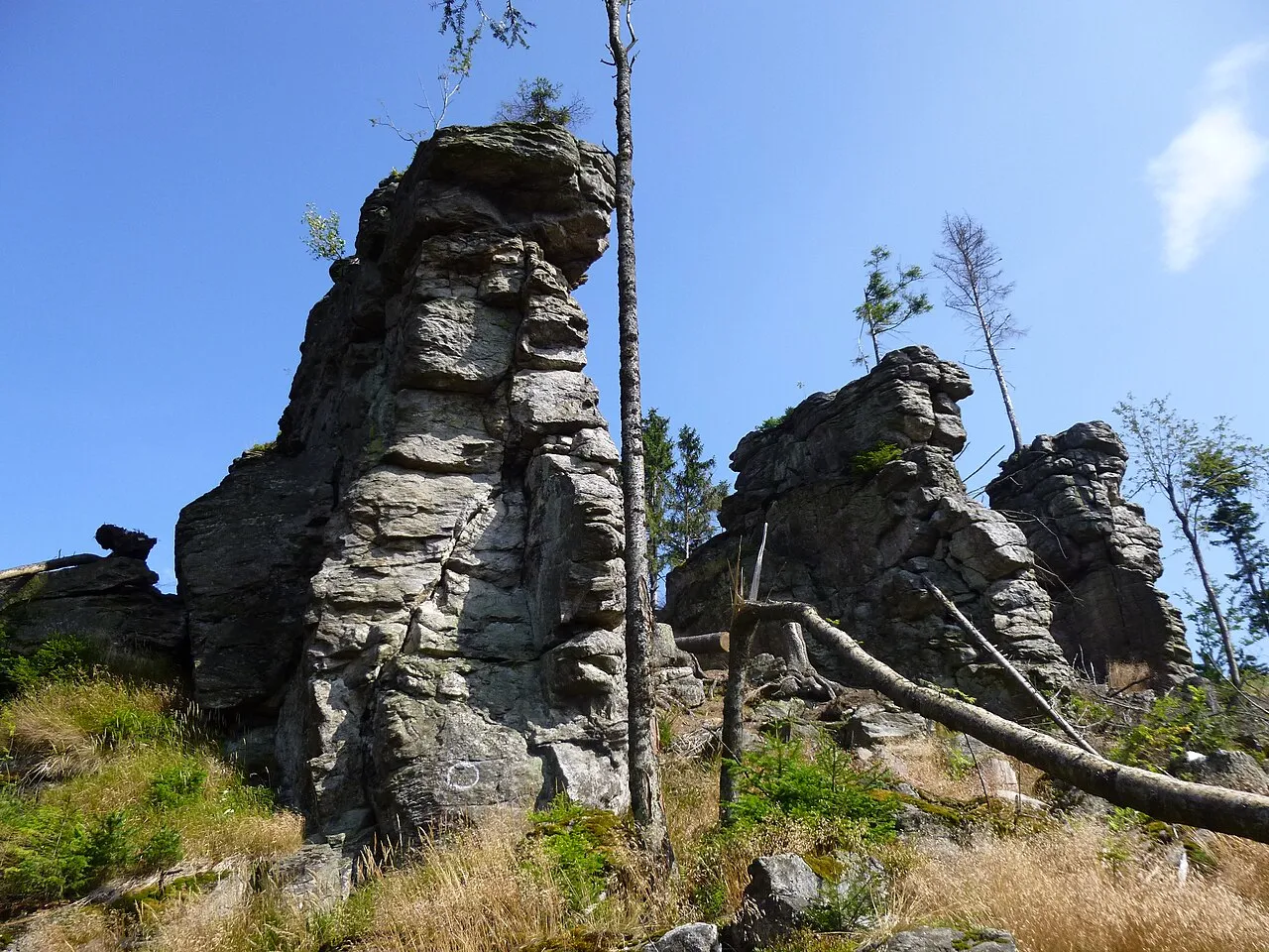
Ödriegel is a mountain. Location: Lam, Markt, Cham. Elevation: 1,156 m.
The Ödriegel is an elongated ridge of the Arber ridge in the northern Bavarian Forest. On its flat summit, there are some fantastic vistas that offer a view of Lam, the Osser and the Hohenbogen. Most hikers will pass the Ödriegel on their tour along the European Walking Route E6, from the Arber to the Kaitersberg. It is hardly ever climbed as an independent mountain, but usually in connection with its neighbours, the Mühlriegel and Schwarzeck.
Read more on Wikipedia Text: Wikipedia contributors · CC BY-SA 4.0 · shortened
In comparison
- No. 1163 of 25787 mountains in Germany by elevation
- 33 sights and natural places within 10 km Mühlriegel, Schwarzeck
Nearest towns and villages
Nearby attractions & nature
Everything nearby-
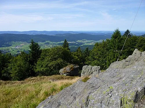 Mühlriegel Mountain, Arrach0.9 km W
-
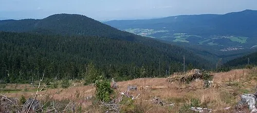 Schwarzeck Mountain, Lohberg3 km SE
-
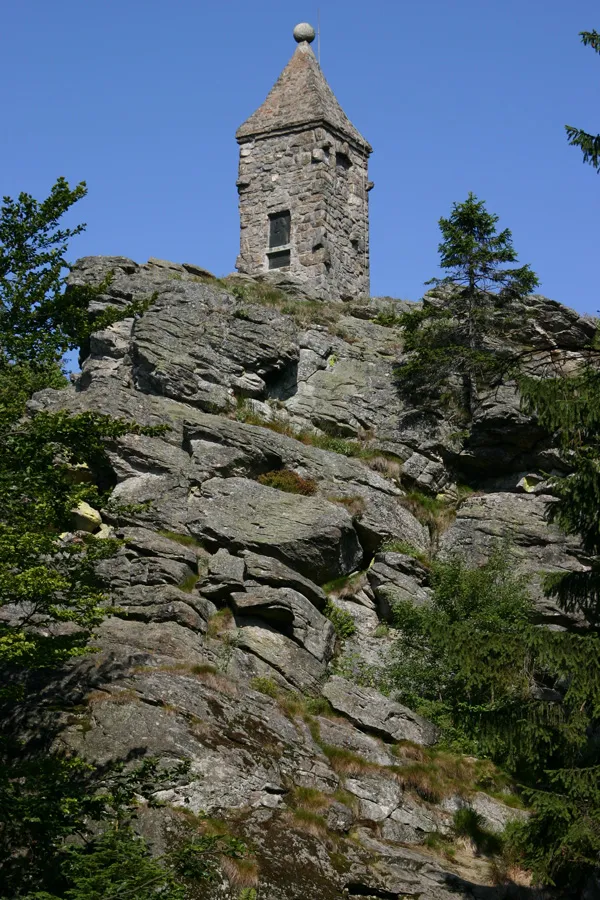 Großer Riedelstein Mountain, Arnbruck4 km W
-
 Heugstatt Mountain, Drachselsried4.5 km SE
-
Hochstein Mountain, Drachselsried4.8 km SE
-
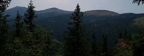 Enzian Mountain, Drachselsried5.7 km SE
-
Hörndl Mountain, Lohberg4.9 km E
-
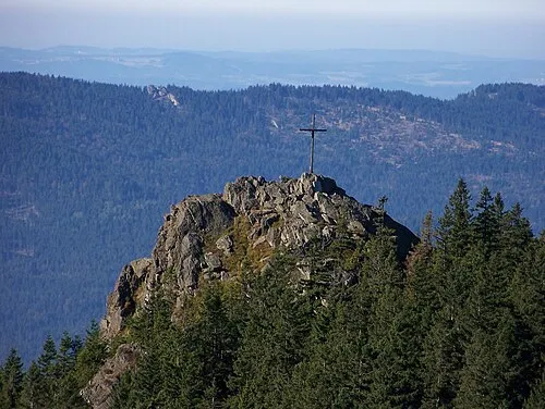 Kleiner Osser Mountain, Lam, Markt7.4 km NE
Sources & licences
Data last updated: · 2 independent sources