Königswald
Located in Brandenburg, Germany Coordinates: 52°26′02″ N 13°04′46″ E
- Elevation
- 41 m
- above sea level
- Local time
- UTC+01:00
- Europe/Berlin · UTC+01:00
About Königswald
Königswald is a natural site. Location: Brandenburg, Germany.
In comparison
- 144 sights and natural places within 10 km Schwarzer Berg, Zedlitzberg
Nearest towns and villages
-
Kreisfreie Stadt Potsdam Municipality, Brandenburg4 km S
-
Potsdam Village, Kreisfreie Stadt Potsdam4 km S
-
Babelsberg Nord Neighbourhood, Potsdam4.1 km S
-
Kladow Neighbourhood, Berlin5 km NE
-
Wannsee Neighbourhood, Berlin5.4 km E
-
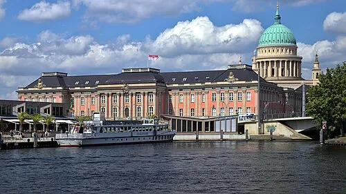 Potsdam City, Potsdam4 km S
Nearby attractions & nature
Everything nearby-
Schwarzer Berg Mountain, Potsdam0.6 km S
-
Zedlitzberg Mountain, Potsdam0.8 km NE
-
Naturschutzgebiet Sacrower See und Königswald Natural site, Potsdam1 km NE
-
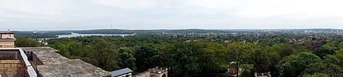 Pfingstberg Mountain, Potsdam2.2 km SW
-
Jungfernsee Lake, Brandenburg1 km SW
-
Park Sacrow Natural site, Potsdam1.3 km SE
-
Rehberg Mountain, Potsdam2 km NW
-
Sacrower See Lake, Brandenburg1.4 km NE
More nature in Germany
-
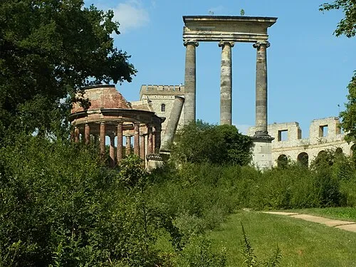 Ruinenberg Mountain, Potsdam3.9 km SW
-
Luisenberg Mountain, Potsdam2.7 km NE
-
Kirchberg Mountain, Potsdam3.2 km NW
-
Krampnitzberg Mountain, Dallgow-Döberitz3.4 km N
-
Langer Berg Mountain, Dallgow-Döberitz4.4 km NW
-
Neuer Garten Natural site, Potsdam2.1 km S
Sources & licences
Data last updated: