Rettbergsaue
Located in Hesse, Germany Coordinates: 50°02′03″ N 8°13′19″ E
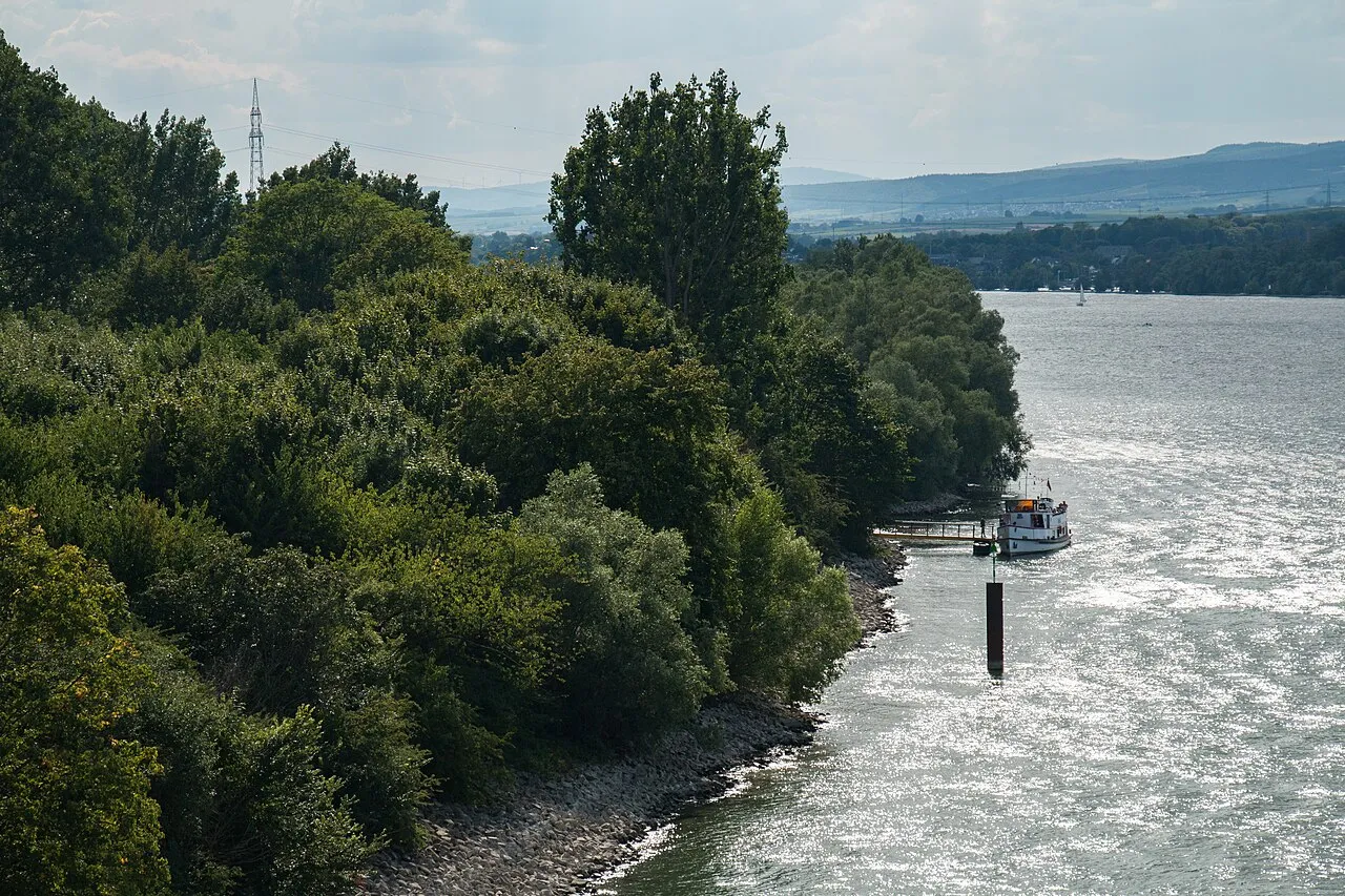
- Elevation
- 91 m
- above sea level
- Local time
- UTC+01:00
- Europe/Berlin · UTC+01:00
About Rettbergsaue
Rettbergsaue is an island. Location: Hesse, Germany.
The Rettbergsaue (translated from German as “Rettberg Island”) is a natural island in the Rhine River at Wiesbaden, Germany. It is situated between the main channel of the Rhine to the north and a smaller channel, the Wachsbleicharm, in the south. The Wachsbleicharm forms the border between the federal states of Hesse (of which Wiesbaden is the capital) and Rhineland-Palatinate. The island is about 3,100 meters (10,200 ft) long and up to 400 m (1,300 ft) wide.
Read more on Wikipedia Text: Wikipedia contributors · CC BY-SA 4.0 · shortened
At a glance
- Length
- 3.1 km
- Area
- 68 ha
Source: Wikidata
In comparison
- 71 sights and natural places within 10 km Mainz-Ingelheimer Aue Concentration Camp, Bismarcksaue
Nearest towns and villages
-
Schierstein Neighbourhood, Wiesbaden2.1 km NW
-
Biebrich Neighbourhood, Wiesbaden2.1 km NE
-
Gonsenheim Neighbourhood, Mainz4.1 km SW
-
Mainz Village, Kreisfreie Stadt Mainz5 km SE
-
Kreisfreie Stadt Mainz Municipality, Rhineland-Palatinate5.3 km SE
-
Wiesbaden Village, Kreisfreie Stadt Wiesbaden5.4 km N
Nearby attractions & nature
Everything nearby-
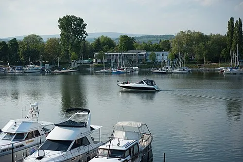 Bismarcksaue Island, Hesse1.6 km W
-
Mosbach River, Hesse1.8 km NE
-
Wäschbach River, Hesse3.4 km NE
-
Lenneberg Mountain, Budenheim4.4 km SW
-
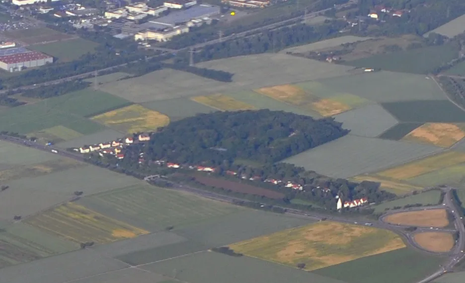 Petersberg Mountain, Wiesbaden5.1 km E
-
Mainz-Ingelheimer Aue Concentration Camp Historic site, Mainz0.9 km SE
-
Walluf River, Hesse4.2 km W
-
Petersaue Island, Regierungsbezirk Darmstadt2.8 km SE
Sources & licences
Data last updated: · 2 independent sources