Bergen-Belsen concentration camp
Local name: Bergen-Belsen
Located in Lower Saxony, Germany Coordinates: 52°45′31″ N 9°54′24″ E
- Local time
- UTC+01:00
- Europe/Berlin · UTC+01:00
- Elevation
- 57 m
- above sea level
About Bergen-Belsen concentration camp
Bergen-Belsen concentration camp is a historic site. Location: Lower Saxony, Germany.
Bergen-Belsen (pronounced [ˈbɛʁɡn̩ˌbɛlsn̩]), or Belsen, was a Nazi concentration camp in what is today Lower Saxony in northern Germany, southwest of the town of Bergen near Celle. Originally established as a prisoner of war camp, in 1943, parts of it became a concentration camp. Initially this was an "exchange camp", where Jewish hostages were held with the intention of exchanging them for German prisoners of war held overseas.
Read more on Wikipedia Text: Wikipedia contributors · CC BY-SA 4.0 · shortened
At a glance
- Opened
- 1943
Source: Wikidata
In comparison
- 64 sights and natural places within 10 km Bergen-Belsen Concentration Camp, Hörster Heide
Nearby attractions & nature
Everything nearby-
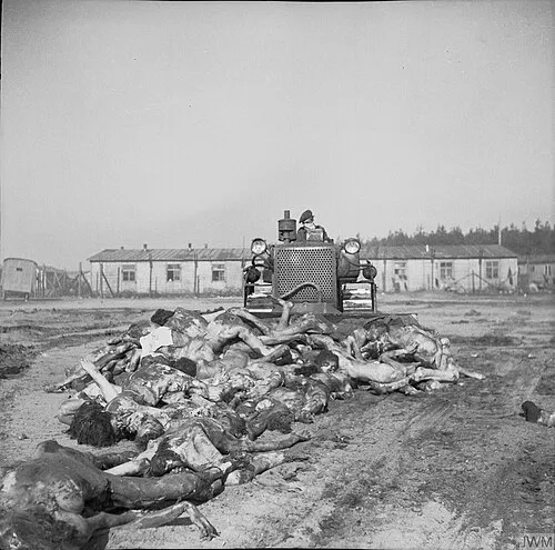 Bergen-Belsen Concentration Camp Historic site, Landkreis Celle0.1 km NE
-
Hörster Heide Natural site, Landkreis Celle1.1 km NE
-
Schillensberg Mountain, Lower Saxony2.8 km W
-
Hingstberg Mountain, Lower Saxony3.3 km W
-
In den Weizenkämpen Natural site, Winsen (Aller)2.2 km SE
-
Liethbach River, Lower Saxony1.7 km N
-
Belser Heide Natural site, Lower Saxony3.3 km E
-
Meißendorfer Gehege Natural site, Lower Saxony3.5 km SW
Nearest towns and villages
More sights in Lower Saxony
-
Sieben Steinhäuser Historic site, Landkreis Heidekreis8.7 km NW
-
Hohenstein Historic site, Landkreis Heidekreis9.9 km NW
-
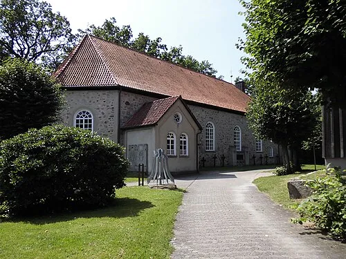 St. Martin Attraction, Bad Fallingbostel19 km NW
-
Fernmeldeturm Wardböhmen Landmark, Bergen10 km N
-
Hambühren Concentration Camp Historic site, Hambühren15 km S
-
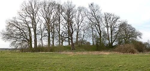 Bunkenburg Historic site, Ahlden (Aller), Flecken23 km W
Sources & licences
Data last updated: · 2 independent sources