Jagdkopf
Located in Lower Saxony, Germany Coordinates: 51°38′00″ N 10°37′00″ E
- Elevation
- 585 m
- above sea level
- Local time
- UTC+01:00
- Europe/Berlin · UTC+01:00
About Jagdkopf
Jagdkopf is a mountain. Location: Lower Saxony, Germany. Elevation: 585 m.
The Jagdkopf is a hill, 603.1 m above sea level (NN), in the Harz Mountains of Germany. It is located between the villages of Wieda and Zorge in the unincorporated area of Harz in the district of Göttingen in the state of Lower Saxony.
Read more on Wikipedia Text: Wikipedia contributors · CC BY-SA 4.0 · shortened
In comparison
- No. 5528 of 25787 mountains in Germany by elevation
- 99 sights and natural places within 10 km Kirchberg, Staatsforst Walkenried
Nearest towns and villages
-
Zorge Village, Walkenried1.2 km E
-
Wieda Village, Walkenried2.1 km W
-
Walkenried Village, Landkreis Göttingen5.6 km S
-
Bad Sachsa Village, Landkreis Göttingen5.9 km SW
-
Ellrich Village, Landkreis Nordhausen6 km S
-
Siedlung Uhdenberg Village, Walkenried1.9 km S
Nearby attractions & nature
Everything nearby-
Kirchberg Mountain, Lower Saxony<0.1 km N
-
Staatsforst Walkenried Natural site, Lower Saxony<0.1 km N
-
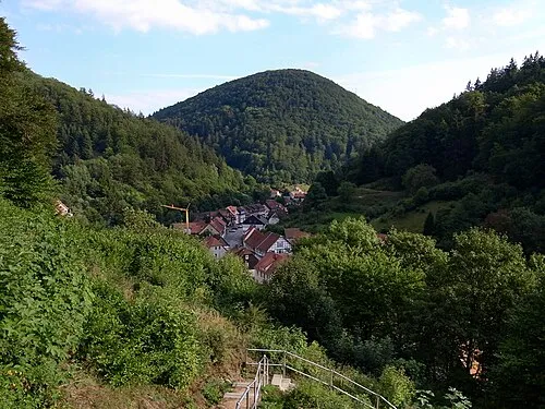 Großer Staufenberg Mountain, Lower Saxony1.6 km SE
-
Hoheharz Mountain, Lower Saxony1.9 km E
-
Reihersberg Mountain, Lower Saxony2 km NE
-
Sprakelbach River, Lower Saxony1.3 km NE
-
Fuchsburg Mountain, Lower Saxony2.2 km E
-
Wagnerskopf Mountain, Lower Saxony2.4 km N
Sources & licences
Data last updated: · 2 independent sources