Oldoog
Located in Lower Saxony, Germany Coordinates: 53°45′00″ N 8°01′00″ E
- Elevation
- 7 m
- above sea level
- Local time
- UTC+01:00
- Europe/Berlin · UTC+01:00
About Oldoog
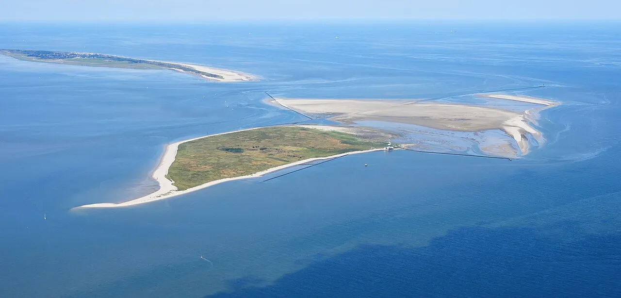
Oldoog is an island. Location: Lower Saxony, Germany.
Minsener Oog (German pronunciation: [ˈmɪnzənɐ ˈʔoːk]), also Minser Oog or Minsener Oldeoog, is an uninhabited East Frisian island that belongs to the parish of Wangerooge in the north German district of Friesland in the state of Lower Saxony. It has been artificially enlarged through the construction of groynes.
Read more on Wikipedia Text: Wikipedia contributors · CC BY-SA 4.0 · shortened
At a glance
- Built
- 1976
- Length
- 4.5 km
- Area
- 3.7 km²
Source: Wikidata
In comparison
- 8 sights and natural places within 10 km Minsener Oog, Schillighörn
Nearest towns and villages
-
Schillig Village, Wangerland5.2 km S
-
Wangerooge, Nordseebad Village, Landkreis Friesland8.9 km NW
-
Nordseeheilbad Wangerooge Village, Wangerooge, Nordseebad8.9 km NW
-
Norderaltendeich Village, Wangerland5.5 km SW
-
Horum Village, Wangerland5.5 km S
-
Förrien Village, Wangerland5.6 km SW
Nearby attractions & nature
Everything nearby-
Minsener Oog Island, Lower Saxony1.1 km N
-
Schillighörn Natural site, Wangerland5.2 km S
-
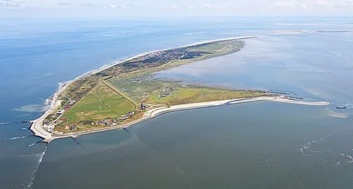 Insel Wangerooge Island, Lower Saxony9.1 km NW
-
Hohenstief River, Lower Saxony8.4 km S
-
Naturschutzgebiet Mellum Natural site, Lower Saxony9.5 km SE
-
Alte Mellum Island, Lower Saxony9.4 km E
-
Westlagune Lake, Wangerooge, Nordseebad11 km NW
-
Leuchtturm Mellumplate Landmark, Landkreis Wesermarsch5.6 km NE
More lakes, rivers and coasts in Germany
-
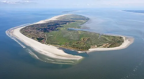 Insel Spiekeroog Island, Lower Saxony21 km W
-
Hooksieler Binnentief Lake, Wangerland13 km S
-
Strand Harlesiel Beach, Wittmund15 km W
-
Bübbenser Tief River, Lower Saxony11 km S
-
Nordstrand Beach, Spiekeroog20 km W
-
Altes Tief River, Lower Saxony12 km SW
Sources & licences
Data last updated: · 2 independent sources