Strohauser Sieltief
Located in Lower Saxony, Germany Coordinates: 53°24′27″ N 8°28′34″ E
- Elevation
- 1 m
- above sea level
- Local time
- UTC+01:00
- Europe/Berlin · UTC+01:00
About Strohauser Sieltief
Strohauser Sieltief is a river. Location: Lower Saxony, Germany.
In comparison
- 15 sights and natural places within 10 km Beckumer Sieltief, Naturschutzgebiet Strohauser Vorländer und Plate
Nearest towns and villages
-
Rodenkirchen Village, Stadland1.6 km W
-
Hartwarderdeich Village, Stadland0.7 km NW
-
Hartwarden Village, Stadland0.9 km NW
-
Strohausen Village, Stadland1 km W
-
Strohauserdeich Village, Stadland1 km SW
-
Abserdeich Neighbourhood, Stadland1.4 km SW
Nearby attractions & nature
Everything nearby-
Beckumer Sieltief River, Lower Saxony0.6 km W
-
Drepte River, Lower Saxony1.9 km E
-
Inkersfleth River, Hagen im Bremischen3.1 km SE
-
Rehdesfleth River, Hagen im Bremischen3.4 km SE
-
Naturschutzgebiet Strohauser Vorländer und Plate Natural site, Stadland1.8 km S
-
Lune River, Lower Saxony2.3 km NE
-
Dedesdorfer Sieltief River, Loxstedt4.7 km N
-
Morgenlander Zuggraben River, Lower Saxony6 km NW
More lakes, rivers and coasts in Germany
-
Rohr River, Lower Saxony12 km NE
-
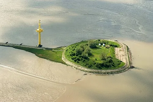 Langlütjen I Island, Nordenham17 km N
-
Gackau River, Lower Saxony12 km NE
-
Aue River, Lower Saxony12 km SE
-
Dohrener Bach River, Beverstedt14 km E
-
Utergadinger Sieltief River, Lower Saxony7.2 km N
Sources & licences
Data last updated: