Godesberger Bach
Located in North Rhine-Westphalia, Germany Coordinates: 50°41′38″ N 7°10′09″ E
- Elevation
- 58 m
- above sea level
- Local time
- UTC+01:00
- Europe/Berlin · UTC+01:00
About Godesberger Bach
Godesberger Bach is a river. Location: North Rhine-Westphalia, Germany.
In comparison
- 72 sights and natural places within 10 km Bad Godesberg Concentration Camp, Godesburg
Nearest towns and villages
-
Königswinter Village, Rhein-Sieg-Kreis2.8 km SE
-
Friesdorf Neighbourhood, Bonn2.9 km W
-
Kreisfreie Stadt Bonn Municipality, Cologne District4.8 km NW
-
Königswinter Town, Königswinter2.5 km SE
-
Plittersdorf Neighbourhood, Bonn0.8 km W
-
Godesberg-Villenviertel Neighbourhood, Bonn0.9 km SW
Nearby attractions & nature
Everything nearby-
Wolkenburg Mountain, Königswinter4.3 km SE
-
Dollendorfer Hardt Natural site, North Rhine-Westphalia2.4 km NE
-
Bad Godesberg Concentration Camp Historic site, Bonn1.2 km S
-
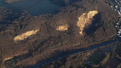 Rabenlay Mountain, Bonn2.8 km N
-
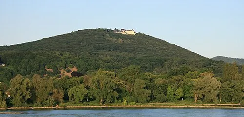 Petersberg Mountain, Königswinter2.9 km E
-
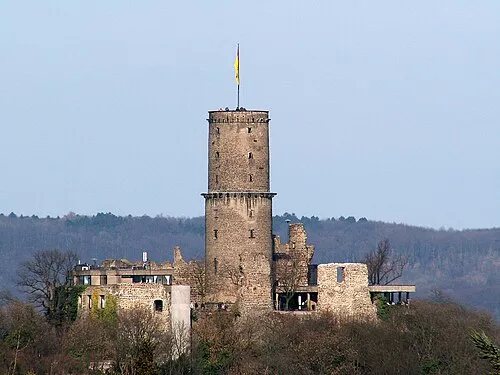 Godesburg Historic site, Bonn1.6 km SW
-
Kasseler Heide Mountain, Königswinter3.6 km NE
-
Hirschberg Mountain, Königswinter3.6 km SE
More lakes, rivers and coasts in Germany
-
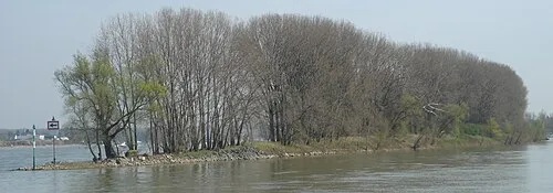 Herseler Werth Island, North Rhine-Westphalia13 km NW
-
Rheidter Werth Island, North Rhine-Westphalia14 km NW
-
Lauterbach River, North Rhine-Westphalia8 km NE
-
Arzdorfer Bach River, North Rhine-Westphalia8.7 km SW
-
Logebach River, North Rhine-Westphalia9 km E
-
Mühlenbach River, North Rhine-Westphalia9.2 km NW
Sources & licences
Data last updated: