Haler Feld
Located in North Rhine-Westphalia, Germany Coordinates: 52°21′00″ N 7°55′28″ E
- Elevation
- 65 m
- above sea level
- Local time
- UTC+01:00
- Europe/Berlin · UTC+01:00
About Haler Feld
Haler Feld is a natural site. Location: North Rhine-Westphalia, Germany.
In comparison
- 48 sights and natural places within 10 km Kahlenhügel, Sooswiesenbach
Nearest towns and villages
-
Westerkappeln Village, Kreis Steinfurt4.6 km SW
-
Wallenhorst Village, Landkreis Osnabrück5.9 km E
-
Halen Village, Lotte1.4 km SE
-
Dörnte Village, Wallenhorst2.6 km E
-
Niederseeste Village, Westerkappeln2.7 km W
-
Telgte Village, Westerkappeln2.7 km SW
Nearby attractions & nature
Everything nearby-
Kahlenhügel Mountain, Lotte1.6 km S
-
Werser Holz Natural site, North Rhine-Westphalia2.7 km S
-
Jungenheide Natural site, Lower Saxony2.9 km E
-
Niedringhaussee Lake, Lotte2 km S
-
Rother Berg Mountain, Westerkappeln3.4 km NW
-
Larberger Egge Mountain, Bramsche4.6 km N
-
Rother Berg Mountain, Lotte3.5 km S
-
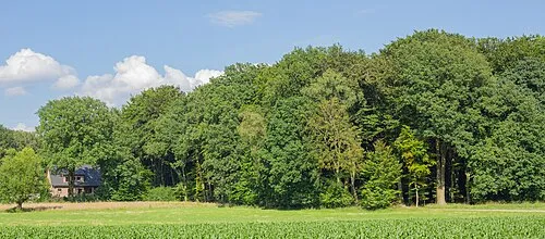 Schachsel Mountain, Westerkappeln4.9 km W
More nature in Germany
-
Gabelin Mountain, Westerkappeln4.1 km SW
-
Hollenbergshügel Mountain, Westerkappeln9 km SW
-
Nordberg Mountain, Lotte9.8 km S
-
Hagenberg Mountain, Lotte10 km S
-
Windmühlenberg Mountain, Westerkappeln7.6 km SW
-
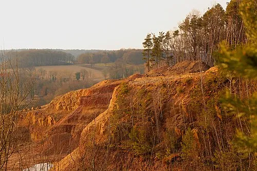 Querenberg Mountain, Mettingen13 km W
Sources & licences
Data last updated: