Knechtsteder Busch
Located in North Rhine-Westphalia, Germany Coordinates: 51°04′52″ N 6°44′50″ E
- Elevation
- 52 m
- above sea level
- Local time
- UTC+01:00
- Europe/Berlin · UTC+01:00
About Knechtsteder Busch
Knechtsteder Busch is a natural site. Location: North Rhine-Westphalia, Germany.
In comparison
- 10 sights and natural places within 10 km Kloster Knechtsteden, Balgheimersee
Nearest towns and villages
Nearby attractions & nature
Everything nearby-
Kloster Knechtsteden Attraction, Dormagen0.5 km SE
-
Mühlenbusch Natural site, North Rhine-Westphalia3.7 km N
-
Balgheimersee Lake, Rhein-Kreis Neuss2.9 km NE
-
Chorbusch Natural site, North Rhine-Westphalia5.2 km SE
-
Vollrather Höhe Mountain, Grevenbroich9.3 km W
-
Frimmersdorfer Höhe Mountain, Grevenbroich12 km SW
-
Worringer Bruch Natural site, Cologne9.6 km SE
-
Abts-Busch Mountain, Bergheim13 km S
More nature in Germany
-
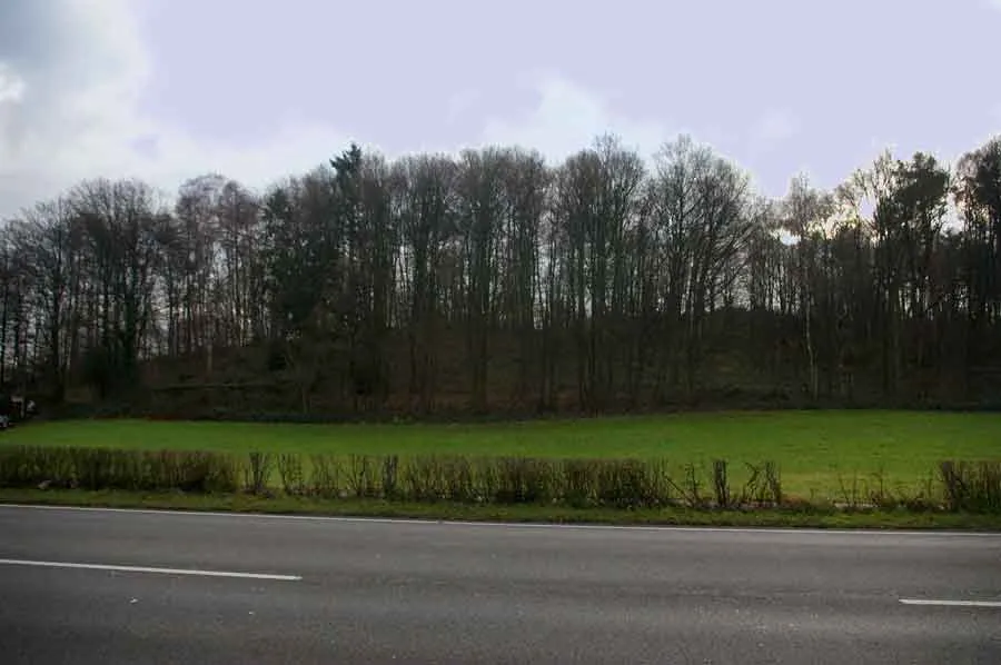 Wenzelnberg Mountain, Langenfeld (Rheinland)18 km E
-
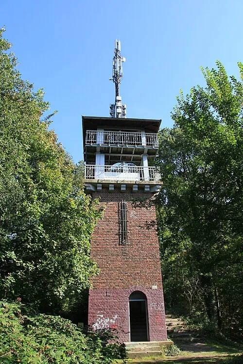 Jaberg Mountain, Hilden19 km NE
-
Gürather Höhe Mountain, Bedburg12 km SW
-
Fischbach-Höhe Mountain, Bergheim15 km S
-
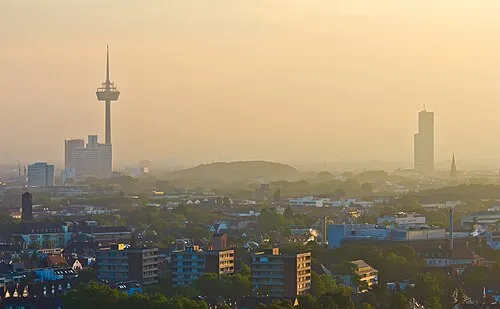 Herkules-Berg Mountain, Cologne20 km SE
-
Hofgarten Natural site, Düsseldorf17 km N
Sources & licences
Data last updated: