Landkreis Sankt Wendel
Located in Saarland, Germany Coordinates: 49°31′04″ N 7°07′10″ E
- Population
- 87,813
- 87.8K
- Elevation
- 341 m
- above sea level
- Local time
- UTC+01:00
- Europe/Berlin · UTC+01:00
- Places inside
- 8
- listed under Landkreis Sankt Wendel
About Landkreis Sankt Wendel
Landkreis Sankt Wendel is a municipality. Location: Saarland, Germany. Population: 87,813. Elevation: 341 m.
In comparison
- No. 6 of 6 places in Saarland by population
- Nearest larger town: Landkreis Neunkirchen, 15 km S
- 67 sights and natural places within 10 km Bliesenberg, Leißberg
- Listed here: Village: 8
Places in Landkreis Sankt Wendel
8 places-
St. Wendel, Kreisstadt Village25.4K
-
Tholey Village12.4K
-
Marpingen Village10.3K
-
Nohfelden Village9.9K
-
Nonnweiler Village8.5K
-
Freisen Village8.1K
-
Namborn Village7.1K
-
Oberthal Village6.1K
Nearby attractions & nature
Everything nearby-
Bostalsee Lake, Saarland6.4 km NW
-
Homerich Mountain, Saarland8.6 km N
-
Todbach River, Saarland6.4 km SE
-
Forst Birkenfeld Natural site, Saarland7.3 km N
-
Söterbach River, Saarland6.9 km N
-
Dankenberg Mountain, Saarland11 km N
-
Freisbach River, Saarland8.2 km N
-
Kellerberg Mountain, Ellweiler9.3 km N
Other cities and towns in Saarland
-
Namborn Town, Namborn1.6 km E
-
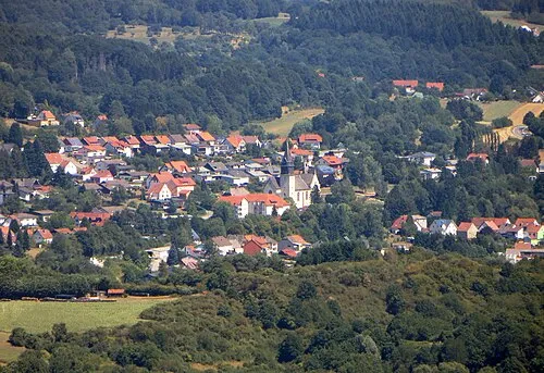 Oberthal Town, Oberthal2.6 km W
-
Landkreis Neunkirchen Municipality, Saarland15 km S
-
Freisen Town, Freisen10 km E
-
Sankt Wendel Town, St. Wendel, Kreisstadt6.7 km SE
-
Tholey Town, Tholey7.1 km SW
Sources & licences
Data last updated: