Anhalt-Bitterfeld
Located in Saxony-Anhalt, Germany Coordinates: 51°39′23″ N 12°15′42″ E
- Population
- 153,035
- 153K
- Elevation
- 87 m
- above sea level
- Local time
- UTC+01:00
- Europe/Berlin · UTC+01:00
- Places inside
- 10
- listed under Anhalt-Bitterfeld
About Anhalt-Bitterfeld
Anhalt-Bitterfeld is a municipality. Location: Saxony-Anhalt, Germany. Population: 153,035. Elevation: 87 m.
Anhalt-Bitterfeld is a district in Saxony-Anhalt, Germany. Its capital is Köthen (Anhalt). Its area is 1,455.1 km2 (561.8 sq mi).
Read more on Wikipedia Text: Wikipedia contributors · CC BY-SA 4.0 · shortened
At a glance
- Built
- 2007
- Area
- 1,453 km²
Source: Wikidata
In comparison
- No. 8 of 14 places in Saxony-Anhalt by population
- Nearest larger town: Saalekreis, 27 km SW
- 19 sights and natural places within 10 km Wolfen Concentration Camp, Stakendorfer Busch
- Listed here: Village: 10
Places in Anhalt-Bitterfeld
10 places-
Bitterfeld-Wolfen Village36.6K
-
Köthen (Anhalt) Village24.1K
-
Zerbst Village21.1K
-
Sandersdorf-Brehna Village14.1K
-
Südliches Anhalt Village12.9K
-
Muldestausee Village11.5K
-
Osternienburger Land Village7.9K
-
Zörbig Village8.9K
-
Raguhn-Jeßnitz Village8.7K
-
Aken (Elbe) Village7.2K
Nearby attractions & nature
Everything nearby-
Stakendorfer Busch Natural site, Saxony-Anhalt3.2 km SW
-
Leine River, Saxony-Anhalt5 km E
-
Vogtei Natural site, Saxony-Anhalt8.3 km W
-
Brödel Graben River, Saxony-Anhalt6.5 km NW
-
Strengbach River, Germany5.6 km SE
-
Niebermarke Natural site, Saxony-Anhalt7.9 km NE
-
Forst Roßdorf Natural site, Saxony-Anhalt8.7 km NE
-
Forst Gräfenhainichen Natural site, Saxony-Anhalt9.6 km SE
Other cities and towns in Saxony-Anhalt
-
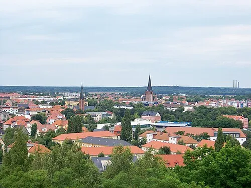 Bitterfeld-Wolfen Town, Bitterfeld-Wolfen5.7 km SE
-
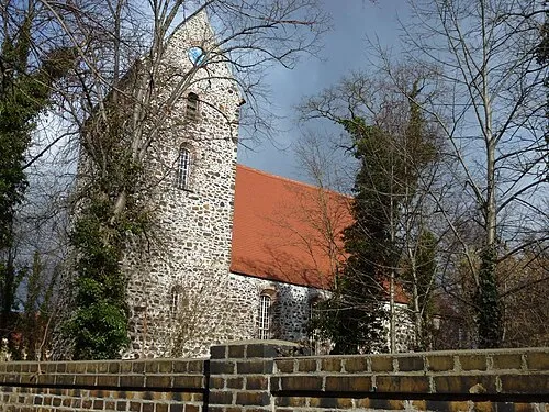 Sandersdorf Town, Sandersdorf-Brehna3.1 km S
-
Wolfen Town, Bitterfeld-Wolfen0.7 km NE
-
Kreisfreie Stadt Halle Municipality, Saxony-Anhalt27 km SW
-
Saalekreis Municipality, Saxony-Anhalt27 km SW
-
Dessau-Roßlau Municipality, Saxony-Anhalt19 km N
Sources & licences
Data last updated: · 2 independent sources