Forst Todtenrode
Located in Saxony-Anhalt, Germany Coordinates: 51°44′00″ N 10°57′00″ E
- Elevation
- 440 m
- above sea level
- Local time
- UTC+01:00
- Europe/Berlin · UTC+01:00
About Forst Todtenrode
Forst Todtenrode is a natural site. Location: Saxony-Anhalt, Germany.
In comparison
- 67 sights and natural places within 10 km Bodetal, Altenbrak, Kirche
Nearest towns and villages
-
Altenbrak Village, Thale1 km SW
-
Treseburg Village, Thale2.4 km SE
-
Wienrode Village, Blankenburg (Harz)3.9 km NE
-
Wendefurth Village, Thale2.1 km W
-
Hüttenrode Village, Blankenburg (Harz)5.1 km NW
-
Cattenstedt Village, Blankenburg (Harz)5 km N
Nearby attractions & nature
Everything nearby-
Bodetal Natural site, Saxony-Anhalt1.2 km E
-
Ilefeldsberg Mountain, Thale2.2 km NW
-
Forst Wienrode Natural site, Saxony-Anhalt2.2 km NE
-
Kleiner Rabenstein Mountain, Thale3 km SE
-
Großer Rabenstein Mountain, Thale3 km SE
-
Kohlenberg Mountain, Thale3.5 km W
-
Großer Stemmberg Mountain, Oberharz am Brocken3.8 km W
-
Kleiner Stemmberg Mountain, Oberharz am Brocken3.9 km SW
More nature in Germany
-
Krautberg Mountain, Blankenburg (Harz)4 km N
-
Bielsteinklippe Mountain, Blankenburg (Harz)5.7 km N
-
Astberg Mountain, Blankenburg (Harz)4.4 km NW
-
Gabrielsberg Mountain, Thale5.1 km SE
-
Heidelberg Mountain, Blankenburg (Harz)5.7 km N
-
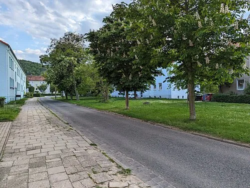 Mühlenberg Mountain, Thale7.2 km E
Sources & licences
Data last updated: