Saxony-Anhalt
Local name: Sachsen-Anhalt
Located in Germany Coordinates: 52°00′00″ N 11°44′00″ E
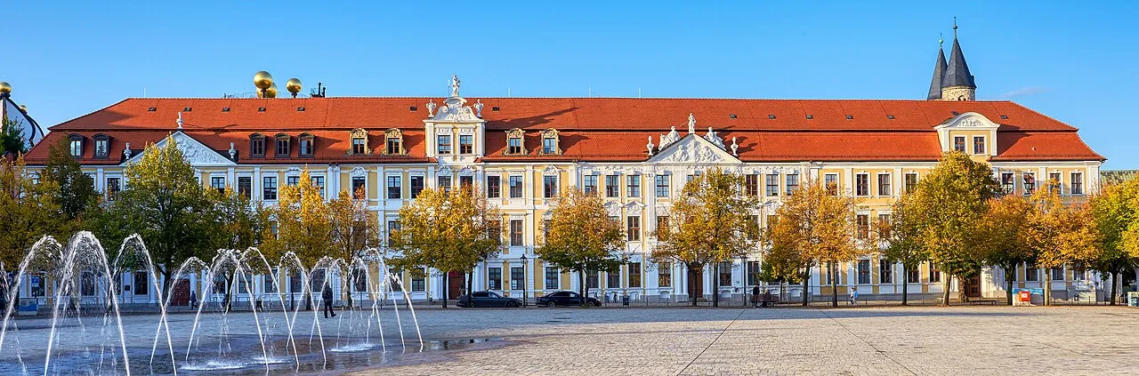
- Population
- 2,169,253
- 2.2M
- Elevation
- 51 m
- above sea level
- Local time
- UTC+01:00
- Europe/Berlin · UTC+01:00
- Places inside
- 682
- listed under Saxony-Anhalt
About Saxony-Anhalt
Saxony-Anhalt is a region. Location: Germany. Population: 2,169,253.
Saxony-Anhalt ( ... AHN-hahlt; German: Sachsen-Anhalt [ˌzaksn̩ ˈʔanhalt] ; Low German: Sassen-Anholt) is a landlocked state of Germany. It covers an area of 20,555 square kilometres (7,936 sq mi) and has a population of about 2.14 million inhabitants, making it the 8th-largest state in Germany by area and the 11th-largest by population. Saxony-Anhalt borders the states of Brandenburg, Saxony, Thuringia and Lower Saxony. Its capital is Magdeburg.
Read more on Wikipedia Text: Wikipedia contributors · CC BY-SA 4.0 · shortened
At a glance
- Built
- 1990
- Area
- 20,454 km²
Source: Wikidata
In comparison
- 23 sights and natural places within 10 km Schönebeck I Concentration Camp (Julius), Schönebeck II Concentration Camp (NARAG)
- Listed here: Natural site: 301, River: 280, Lake: 60, Municipality: 14
Places in Saxony-Anhalt
682 places-
Forst Roßdorf Natural site
-
Forst Roßla Natural site
-
Forst Roßlau Natural site
-
Forst Rothehaus Natural site
-
Forst Rübeland Natural site
-
Forst Schattberge Natural site
-
Forst Serno Natural site
-
Forst Sollnitz Natural site
-
Forst Steckby Natural site
-
Forst Stiege Natural site
-
Forst Stolberg Natural site
-
Forst Straßberg Natural site
-
Forst Thale Natural site
-
Forst Tiergarten Natural site
-
Forst Todtenrode Natural site
-
Forst Tornau Natural site
-
Forst Wernigerode Natural site
-
Forst Wienrode Natural site
-
Forst Wippra Natural site
-
Forst Wörlitz Natural site
-
Forst Zeitz Natural site
-
Forst Ziegelroda Natural site
-
Freigraben River
-
Friedenstal Natural site
-
Friedrichsholz Natural site
-
Friedrichshütte Village
-
Friedrichswalder Forst Natural site
-
Fuchsgrund Natural site
-
Fuhne River
-
Fundergraben River
-
Gardelegener Hospitalforst Natural site
-
Geestgraben River
-
Gehege Natural site
-
Gehrendscher See Lake
-
Geisel River
-
Geiseltal Natural site
-
Genthiner Stadtforst Natural site
-
Gerichtstannen Natural site
-
Gestiener Holz Natural site
-
Getel River
-
Gladauer Forst Natural site
-
Glasebach River
-
Glienecker Forst Natural site
-
Gloinebach River
-
Gödnitzer See Lake
-
Göhrlache River
-
Goldbach River
-
Goldbach River
-
Goldbach River
-
Goldberger See Lake
-
Gonna River
-
Gönnaue River
-
Graubach River
-
Grenz Graben River
-
Griebener Forst Natural site
-
Grieboerbach River
-
Grindelgraben River
-
Groß Bartenslebener Forst Natural site
-
Großer Allerbach River
-
Große Renne River
Largest cities and towns
-
Merseburg Village, Saalekreis34.4K
-
Neue Neustadt Neighbourhood, Magdeburg, Landeshauptstadt226.9K
-
Salzwedel Village, Altmarkkreis Salzwedel23K
-
Wernigerode Village, Landkreis Harz32.2K
-
Burg Village, Jerichower Land22.6K
-
Zeitz Village, Burgenlandkreis28.3K
-
Zerbst Village, Anhalt-Bitterfeld21.1K
-
Bitterfeld-Wolfen Town, Bitterfeld-Wolfen36.6K
Nature and heritage in Saxony-Anhalt
-
Windmühlenberg Mountain, Calvörde
-
Wurzelberg Mountain, Bad Schmiedeberg
-
Wurmberg Mountain, An der Poststraße
-
Wolfsberg Mountain, Jübar
-
Wolfsberg Mountain, Colbitz
-
Wolfsberg Mountain, Aschersleben
Other regions in Germany
-
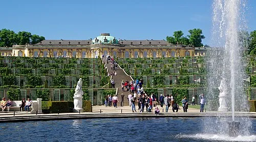 Brandenburg Region, Germany101 km NE
-
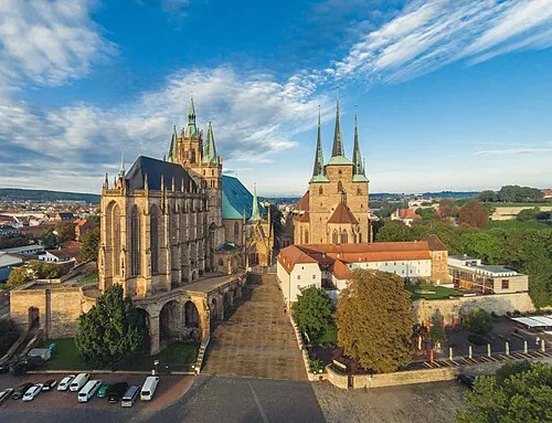 Thuringia Region, Germany131 km SW
-
State of Berlin Region, Germany128 km NE
Sources & licences
Data last updated: · 2 independent sources