Cunewalde
Located in Landkreis Bautzen, Saxony Coordinates: 51°06′00″ N 14°31′00″ E
- Population
- 4,458
- 4.5K
- Elevation
- 290 m
- above sea level
- Local time
- UTC+01:00
- Europe/Berlin · UTC+01:00
- Places inside
- 19
- listed under Cunewalde
About Cunewalde
Cunewalde is a village. Location: Landkreis Bautzen, Saxony. Population: 4,458. Elevation: 290 m.
Cunewalde (German: [kuːnəˈvaldə]) or Kumwałd (Upper Sorbian) is a municipality in the district of Bautzen in the east of the federal Free State of Saxony in Germany. It lies between the cities of Bautzen and Löbau in a valley between the hills of the Czorneboh, the Hochstein and the Bieleboh, all part of the northernmost mountain ranges of the Lusatian Highlands. It is one of the more populous villages in Upper Lusatia and the longest street village in all of Germany.
Read more on Wikipedia Text: Wikipedia contributors · CC BY-SA 4.0 · shortened
At a glance
- Area
- 26.6 km²
Source: Wikidata
In comparison
- No. 17 of 54 places in Landkreis Bautzen by population
- Nearest larger town: Cunewalde, 0 km W
- 46 sights and natural places within 10 km Cunewalde, Kirche, Cunewalde, Friedhofskapelle
- Listed here: Village: 12, Attraction: 2, Mountain: 2, Neighbourhood: 2
Places in Cunewalde
19 places-
Cunewalde Town5.6K
-
Bärhäuser Village
-
Cunewalde, Friedhofskapelle Attraction
-
Cunewalde, Kirche Attraction
-
Frühlingsberg Village
-
Halbau Village
-
Herrnsberg Mountain
-
Hochstein Mountain
-
Klipphäuser Village
-
Köblitz Neighbourhood
-
Neudorf Village
-
Neuenhäuser Village
-
Neuköblitz Village
-
Neuweigsdorf Village
-
Obercunewalde Village
-
Schönberg Village
-
Weigsdorf Neighbourhood
-
Weigsdorf-Köblitz Village
-
Zieglertal Village
Nearby attractions & nature
Everything nearby-
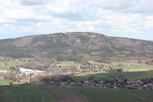 Czorneboh Mountain, Hochkirch2.3 km N
-
Bieleboh Mountain, Beiersdorf2.2 km S
-
Ziegelberg Mountain, Hochkirch2.5 km NE
-
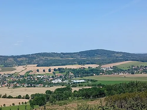 Steinberg Mountain, Hochkirch3.4 km NE
-
Hromadnik Mountain, Kubschütz2.7 km N
-
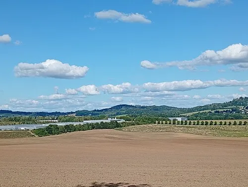 Steinklunsen Mountain, Beiersdorf4 km S
Sources & licences
Data last updated: · 2 independent sources