Löbau
Located in Landkreis Görlitz, Saxony Coordinates: 51°05′00″ N 14°39′32″ E
- Population
- 14,467
- 14.5K
- Elevation
- 280 m
- above sea level
- Local time
- UTC+01:00
- Europe/Berlin · UTC+01:00
- Places inside
- 46
- listed under Löbau
About Löbau
Löbau is a village. Location: Landkreis Görlitz, Saxony. Population: 14,467. Elevation: 280 m.
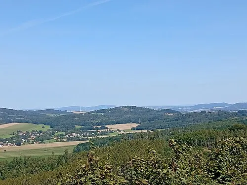
Löbau (German pronunciation: [ˈløːbaʊ] ; Upper Sorbian: Lubij, pronounced [ˈlubʲij] ) is a city in the east of Saxony, Germany, in the historical region of Upper Lusatia. It is situated between the slopes of the Löbauer Berg and the fertile hilly area of the Upper Lusatian Mountains. It is the gateway to this volcanic mountainous area and is situated halfway between the cities of Bautzen, Görlitz and Zittau.
Read more on Wikipedia Text: Wikipedia contributors · CC BY-SA 4.0 · shortened
At a glance
- Area
- 78.9 km²
Source: Wikidata
In comparison
- No. 4 of 53 places in Landkreis Görlitz by population
- Nearest larger town: Löbau, 2 km N
- 48 sights and natural places within 10 km Nonnenberg, Lärchenberg
- Listed here: Village: 31, Mountain: 13, Landmark: 1, Town: 1
Places in Löbau
46 places-
Löbau Town18.4K
-
Kittlitz Village2.1K
-
Altcunnewitz Village
-
Alte Schanze Mountain
-
Altlöbau Village
-
Bellwitz Village
-
Bubenik Mountain
-
Carlsbrunn Village
-
Dolgowitz Village
-
Ebersdorf Village
-
Eiserode Village
-
Georgewitz Village
-
Glossen Village
-
Großdehsa Village
-
Heideberg Mountain
-
Horkenberg Mountain
-
Kleine Landeskrone Mountain
-
Kleinradmeritz Village
-
Körbigsdorf Village
-
Krappe Village
-
Lärchenberg Mountain
-
Laucha Village
-
Lautitz Village
-
Liebesdörfel Village
-
Löbauer Berg Mountain
-
Mauschwitz Village
-
Nechen Village
-
Neucunnewitz Village
-
Neudörfel Village
-
Neu Kittlitz Village
-
Niederbellwitz Village
-
Nonnenberg Mountain
-
Oelsa Village
-
Oppeln Village
-
Peschen Village
-
Petschkenberg Mountain
-
Rosenhain Village
-
Rosenhainer Berg Mountain
-
Schafberg Mountain
-
Schafberg Mountain
-
Sendeturm Löbau Landmark
-
Unwürde Village
-
Wendisch-Cunnersdorf Village
-
Wendisch-Paulsdorf Village
-
Wohla Village
-
Wohlaer Berg Mountain
Nearby attractions & nature
Everything nearby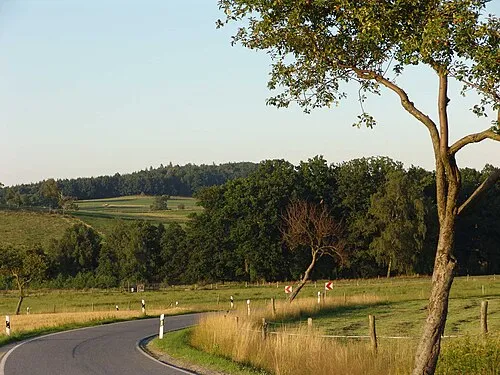
Sources & licences
Data last updated: · 2 independent sources