Hinterer Steinberg
Located in Ostritz, Landkreis Görlitz Coordinates: 50°58′37″ N 14°54′33″ E
- Elevation
- 322 m
- above sea level
- Local time
- UTC+01:00
- Europe/Berlin · UTC+01:00
About Hinterer Steinberg
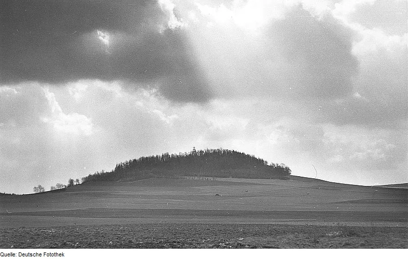
Hinterer Steinberg is a mountain. Location: Ostritz, Landkreis Görlitz. Elevation: 322 m.
In comparison
- No. 16435 of 25787 mountains in Germany by elevation
- 35 sights and natural places within 10 km Mittlerer Steinberg, Kesselstein
Airports nearest to Hinterer Steinberg
- Dresden Airport (DRS) Dresden 82 km
- Václav Havel Airport Prague (PRG) Prague 108 km
- Pardubice Airport (PED) Pardubice 122 km
Straight-line distance; airports with scheduled flights only. Source: OurAirports (public domain).
Nearest towns and villages
-
Schlegel Village, Zittau2.3 km W
-
Hirschfelde Village, Zittau4 km SW
-
Ostritz Village, Ostritz4.4 km N
-
Marienthal Village, Ostritz2.6 km NE
-
Bogatynia Municipality, Zgorzelec County6.4 km S
-
Rosenthal Village, Zittau2.6 km SW
Nearby attractions & nature
Everything nearby-
Mittlerer Steinberg Mountain, Ostritz0.7 km N
-
Kesselstein Mountain, Ostritz1.5 km N
-
Butterberg Mountain, Ostritz3 km NW
-
Sandberg Mountain, Zittau3.3 km NW
-
Schlegelberg Mountain, Zittau3.4 km W
-
Großer Berg Mountain, Zittau3 km W
-
 Knorrberg Mountain, Bernstadt a. d. Eigen4.5 km NW
-
Klosterwald Natural site, Saxony3.1 km NW
Sources & licences
Data last updated: · 2 independent sources