Waldfriedhof
Located in Saxony, Germany Coordinates: 51°06′00″ N 13°42′00″ E
- Elevation
- 135 m
- above sea level
- Local time
- UTC+01:00
- Europe/Berlin · UTC+01:00
About Waldfriedhof
Waldfriedhof is a natural site. Location: Saxony, Germany.
In comparison
- 61 sights and natural places within 10 km Early Camp Dresden-Trachenberge, Dresden Concentration Camp (SS-Pionier-Kaserne)
Nearest towns and villages
-
Kreisfreie Stadt Dresden Municipality, Saxony5 km E
-
Mickten Town, Dresden2 km S
-
Hellerau Neighbourhood, Dresden4 km NE
-
Äußere Neustadt Neighbourhood, Dresden5.2 km SE
-
Friedrichstadt Neighbourhood, Dresden4.4 km S
-
Trachau Village, Dresden1.5 km SE
Nearby attractions & nature
Everything nearby-
Wahnsdorfer Kuppe Mountain, Moritzburg2.8 km NW
-
Hammerberg Mountain, Dresden3.5 km E
-
Jägerhübel Mountain, Dresden4.7 km E
-
Proschhübel Mountain, Dresden4 km SE
-
Dresden Concentration Camp (SS-Pionier-Kaserne) Historic site, Dresden2 km E
-
Early Camp Dresden-Trachenberge Historic site, Dresden1.9 km E
-
Höhe Mountain, Radeburg6 km NE
-
Tannenberg Mountain, Radeburg6.6 km NE
More nature in Germany
-
Spitzberg Mountain, Weinböhla8.7 km NW
-
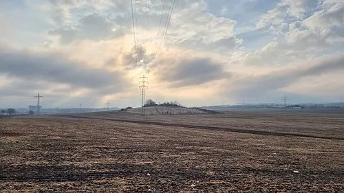 Gamighübel Mountain, Dresden12 km SE
-
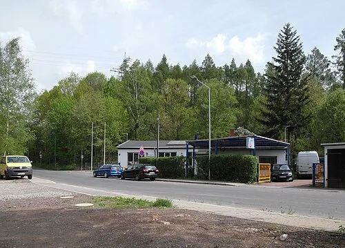 Collmberg Mountain, Dresden9.3 km S
-
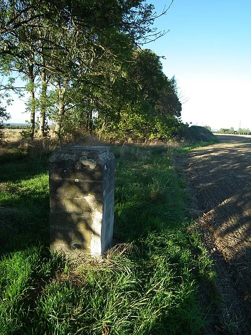 Steinhübel Mountain, Dresden9.4 km SW
-
Langer Berg Mountain, Moritzburg8.2 km NW
-
Galgenberg Mountain, Klipphausen8.4 km W
Sources & licences
Data last updated: