Dannewerk
Located in Kreis Schleswig-Flensburg, Schleswig-Holstein Coordinates: 54°29′00″ N 9°30′00″ E
- Population
- 1,126
- 1.1K
- Elevation
- 26 m
- above sea level
- Local time
- UTC+01:00
- Europe/Berlin · UTC+01:00
- Places inside
- 6
- listed under Dannewerk
About Dannewerk
Dannewerk is a village. Location: Kreis Schleswig-Flensburg, Schleswig-Holstein. Population: 1,126. Elevation: 26 m.
Dannewerk (Danish: Dannevirke) is a municipality in Amt Haddeby in Schleswig-Flensburg District, Germany. It is named after the historic Danish Danevirke fortification.
Read more on Wikipedia Text: Wikipedia contributors · CC BY-SA 4.0 · shortened
At a glance
- Area
- 16.6 km²
Source: Wikidata
In comparison
- No. 42 of 123 places in Kreis Schleswig-Flensburg by population
- Nearest larger town: Busdorf, 4 km NE
- 32 sights and natural places within 10 km Thyraburg, Süderholz
- Listed here: Neighbourhood: 2, Village: 2, Historic site: 1, Natural site: 1
Airports nearest to Dannewerk
- Sønderborg Airport (SGD) Sønderborg 57 km
- Westerland Sylt Airport (GWT) Sylt 89 km
- Sea-Airport Cuxhaven/Nordholz / Nordholz Naval Airbase (FCN) Wurster Nordseeküste 97 km
Straight-line distance; airports with scheduled flights only. Source: OurAirports (public domain).
Places in Dannewerk
6 places-
Dannewerk Village1.1K
-
Großdannewerk Neighbourhood
-
Kleindannewerk Neighbourhood
-
Kurburg Village
-
Süderholz Natural site
-
Thyraburg Historic site
Nearby attractions & nature
Everything nearby-
Runenstein Historic site, Busdorf3 km E
-
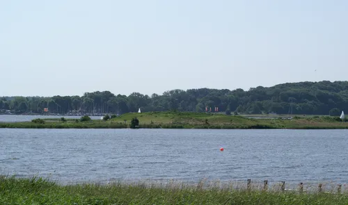 Mövenberg Island, Schleswig-Holstein4.9 km NE
-
Gehege Pöhl Natural site, Schleswig-Holstein3.8 km N
-
Busdorfer Teich Lake, Schleswig-Holstein3.5 km NE
-
Königshügel Mountain, Selk4.1 km E
-
Gottorf Historic site, Schleswig4.1 km NE
Sources & licences
Data last updated: · 2 independent sources