Mittelheide
Located in State of Berlin, Germany Coordinates: 52°28′06″ N 13°36′04″ E
- Elevation
- 48 m
- above sea level
- Local time
- UTC+01:00
- Europe/Berlin · UTC+01:00
About Mittelheide
Mittelheide is a natural site. Location: State of Berlin, Germany.
In comparison
- 37 sights and natural places within 10 km Dammheide, Neuenhagener Mühlenfließ
Nearest towns and villages
-
Friedrichshagen Neighbourhood, Berlin2.5 km SE
-
Köpenick Neighbourhood, Berlin3.1 km SW
-
Köpenick Neighbourhood, Berlin3.1 km SW
-
Mahlsdorf Neighbourhood, Berlin4.6 km N
-
Karlshorst Neighbourhood, Berlin5 km W
-
Adlershof Neighbourhood, Berlin5.1 km SW
Nearby attractions & nature
Everything nearby-
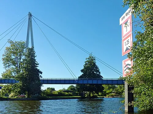 Baumgarteninsel Island, State of Berlin2.6 km SW
-
Dammheide Natural site, State of Berlin2 km NW
-
Kämmereiheide Natural site, State of Berlin3.1 km S
-
Wuhle River, Germany2.9 km SW
-
Krummendammer Heide Natural site, State of Berlin4 km E
-
Dahme River River, Germany3.1 km SW
-
Neuenhagener Mühlenfließ River, Germany2.1 km S
-
Großer Müggelsee Lake, State of Berlin4.7 km SE
More nature in Germany
-
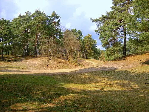 Püttberge Mountain, Berlin8.1 km SE
-
Berliner Stadtforst Natural site, State of Berlin6.1 km E
-
Kienberg Mountain, Berlin7.5 km N
-
Spreepark Natural site, Berlin7.6 km W
-
 Marderberg Mountain, Berlin16 km NW
-
Seddinberg Mountain, Berlin9.2 km SE
Sources & licences
Data last updated: