Valentinswerder
Located in State of Berlin, Germany Coordinates: 52°33′51″ N 13°14′05″ E
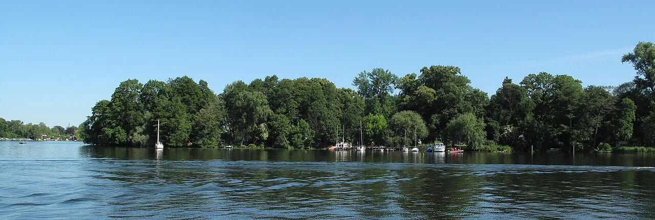
- Elevation
- 38 m
- above sea level
- Local time
- UTC+01:00
- Europe/Berlin · UTC+01:00
- Population
- 26
- 26
About Valentinswerder
Valentinswerder is an island. Location: State of Berlin, Germany. Population: 26.
At a glance
- Length
- 0.8 km
- Area
- 13 ha
Source: Wikidata
In comparison
- 120 sights and natural places within 10 km Maienwerder, Baumwerder
Nearest towns and villages
-
Hakenfelde Neighbourhood, Berlin1.9 km W
-
Haselhorst Neighbourhood, Berlin2.3 km S
-
Konradshöhe Neighbourhood, Berlin2.4 km N
-
Spandau Neighbourhood, Berlin2.8 km SW
-
Siemensstadt Neighbourhood, Berlin3.3 km SE
-
Falkenhagener Feld Neighbourhood, Berlin4.7 km W
Nearby attractions & nature
Everything nearby-
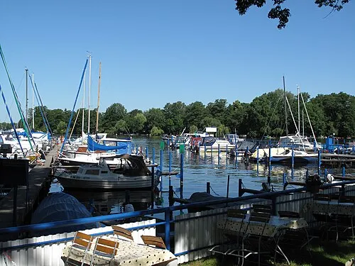 Maienwerder Island, State of Berlin0.3 km SE
-
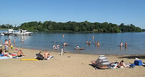 Baumwerder Island, State of Berlin0.6 km E
-
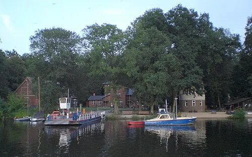 Scharfenberg Island, State of Berlin1 km NE
-
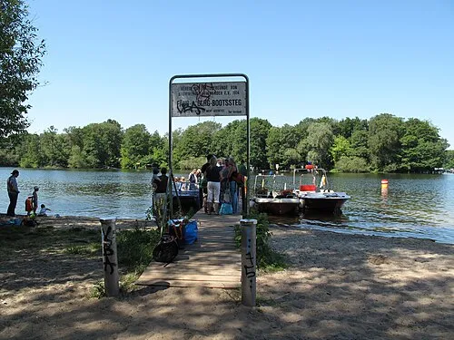 Reiswerder Island, State of Berlin1.2 km E
-
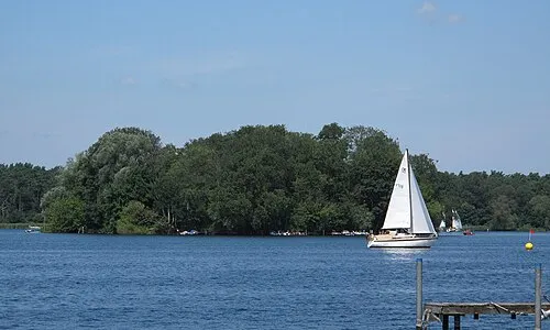 Lindwerder Island, State of Berlin1.9 km NE
-
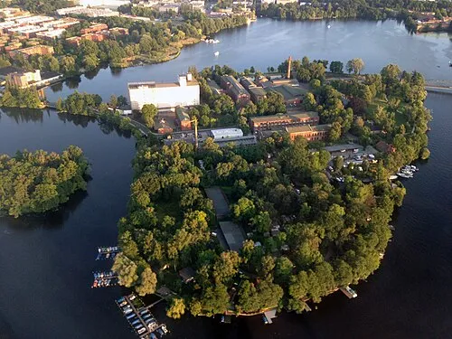 Eiswerder Island, State of Berlin2 km SW
-
Kleiner Wall Island, Berlin1.4 km SW
-
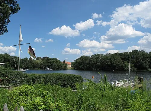 Reiherwerder Natural site, State of Berlin3 km NE
More lakes, rivers and coasts in Germany
-
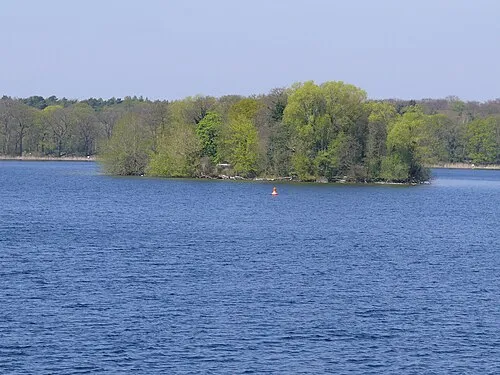 Hasselwerder Island, State of Berlin3.1 km NE
-
Lake Tegel Lake, State of Berlin1.8 km NE
-
Freibad Tegelsee Beach, Berlin1.7 km NE
-
Flughafensee Lake, Berlin3.5 km E
-
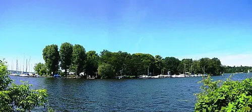 Lindwerder Island, State of Berlin11 km S
-
Heiligensee Lake, State of Berlin4.6 km N
Sources & licences
Data last updated: · 2 independent sources