Tambach-Dietharz/Thür. Wald
Located in Landkreis Gotha, Thuringia Coordinates: 50°48′00″ N 10°37′00″ E
- Population
- 4,474
- 4.5K
- Elevation
- 431 m
- above sea level
- Local time
- UTC+01:00
- Europe/Berlin · UTC+01:00
- Places inside
- 7
- listed under Tambach-Dietharz/Thür. Wald
About Tambach-Dietharz/Thür. Wald
Tambach-Dietharz/Thür. Wald is a village. Location: Landkreis Gotha, Thuringia. Population: 4,474. Elevation: 431 m.
In comparison
- No. 10 of 29 places in Landkreis Gotha by population
- Nearest larger town: Georgenthal, 5 km NE
- 101 sights and natural places within 10 km Gallberg, Spitterbach
- Listed here: Mountain: 5, Neighbourhood: 1, Village: 1
Places in Tambach-Dietharz/Thür. Wald
7 places-
Tambach-Dietharz Village4.5K
-
Gallberg Mountain
-
Großer Buchenberg Mountain
-
Kirchberg Mountain
-
Roßkopf Mountain
-
Schmalkalder Loibe Mountain
-
Tambach Neighbourhood
Nearby attractions & nature
Everything nearby-
Spitterbach River, Thuringia0.5 km S
-
Schmalwasser River, Thuringia0.7 km S
-
Forst Georgenthal Natural site, Thuringia1.2 km W
-
Seeberger Kopf Mountain, Georgenthal1.9 km NW
-
Knie Mountain, Georgenthal2.2 km NE
-
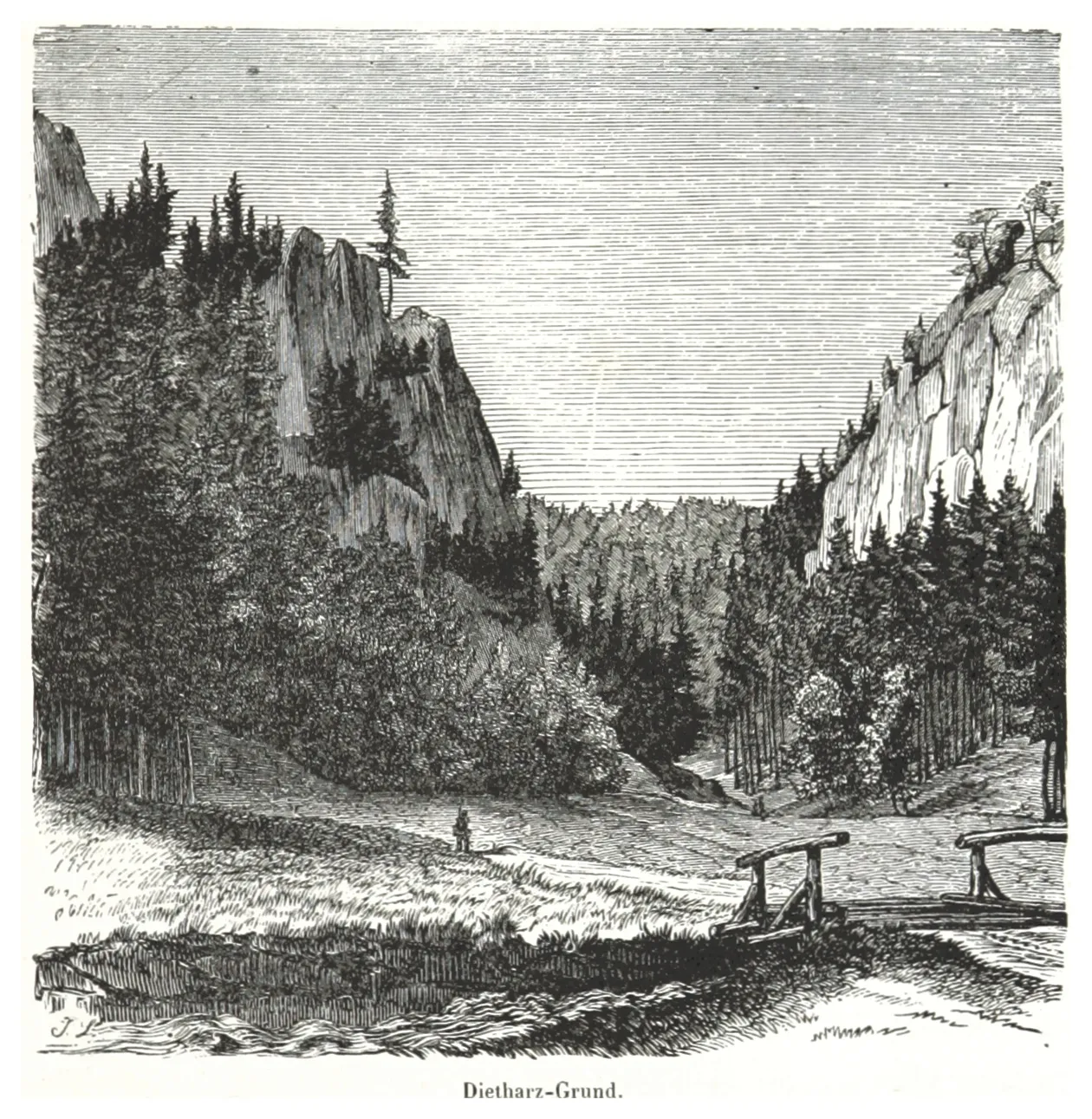 Dietharzer Grund Natural site, Thuringia3 km SE
Sources & licences
Data last updated: